Click to visit the main New York Public Library Homepage
The New York Public Library
Digital Collections
About Digital Collections
Browse
Search only public domain materials
Items
Collections
Divisions
Home
Search
Browse
About
Search only public domain materials
Items
Collections
Divisions
Digital Collections
Using Images
Using Data
Search
Filtered search
Show filters
Hide filters
Show Only Public Domain
topic
Cities & towns
17
Fire insurance
17
Real property
17
name
Sanborn Map Company
17
collection
Atlases of New York City
17
place
New York (State)
17
genre
Maps
16
Index maps
1
Indexes
1
publisher
Sanborn Map Company
17
division
Map Division
17
type
cartographic
16
text
1
Date Range
to
17 results found
Filtering on:
x
Rights
: Public Domain
x
Parent
: Atlas 62. Suppl., 1905.||e39976b0-c5fc-012f-adfb-58d385a7bc34
Sort by:
Title
Date created
Date digitized
Sequence
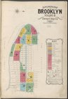
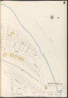
Supplemental Map Brooklyn Vol…
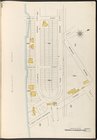
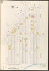
Map bounded by Atlantic Ocean…
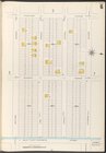
Map bounded by Atlantic Ocean…
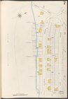
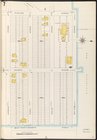
Map bounded by New York Bay, …
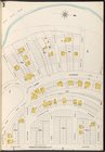
Map bounded by Gravesend Bay,…
Map bounded by Surf Ave., Nep…
Map bounded by Highland Ave.,…
Map bounded by Highland Ave.,…
Map bounded by Atlantic Ocean…
Map bounded by W.37th St., Ne…
Map bounded by W.33rd St., Me…
Map bounded by W. 28th St., N…
Map bounded by Warehouse Ave.…
Map bounded by Warehouse Ave.…
Map bounded by W.16th St., Ne…
Map bounded by W.16th St., W.…
Index
End of results
|
Top