Click to visit the main New York Public Library Homepage
The New York Public Library
Digital Collections
About Digital Collections
Browse
Search only public domain materials
Items
Collections
Divisions
Home
Search
Browse
About
Search only public domain materials
Items
Collections
Divisions
Digital Collections
Using Images
Using Data
Search
Filtered keyword search
Show filters
Hide filters
Show Only Public Domain
topic
Nautical charts
52
Navigation
44
Ships
15
Discovery and exploration
12
Expeditions & surveys
12
More
Less
name
Miller, B. K. (Benjamin Kurtz), 1857-1928
28
United States Coast Survey
27
Bache, A. D. (Alexander Dallas), 1806-1867
26
Admiral Tegetthoff (Ship)
12
Bensa, Alexander von, 1820-1902
12
More
Less
collection
Maps of North America
72
Benjamin K. Miller collection of United States stamps
28
Wonders: Images of the Ancient World
22
Lawrence H. Slaughter Collection of English maps, charts, globes, books and atlases
20
Thomas Addis Emmet collection, [legacy collection]
14
More
Less
place
Pennsylvania
14
Virginia
13
Arctic Ocean
12
Arctic regions
12
New York (State)
12
More
Less
genre
Maps
108
Nautical charts
33
Postage stamps
28
Prints
24
Bathymetric maps
20
More
Less
publisher
Friedr. Bruckmann's Verlag
12
U.S. Coast Survey Office
9
U.S. Coast Survey
8
United States Coast Survey
6
publisher not identified
5
More
Less
division
Map Division
106
Manuscripts and Archives Division
55
Wallach Division: Picture Collection
22
Rare Book Division
19
Wallach Division: Photography Collection
18
More
Less
type
cartographic
108
still image
100
text
39
Date Range
to
239 results found for:
x
Navigation
Filtering on:
x
Rights
: Public Domain
Sort by:
Relevance
Title
Date created
Date digitized
Sequence
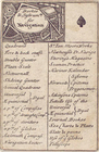
Practical
navigation
note:
…
navigation
, or
m
Map of James River, Virginia …
note:
Virginia
Navigation
Company ; drawn by E.A
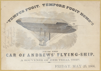
Solomon Andrew's flying ship …
collection:
…" and the Aerial
Navigation
Company
Navigation
of the Tanganyika Lake
topic:
Navigation
Preliminary sketch of Wachapr…
topic:
Navigation
… by the Lehigh Coal &
Navigation
note:
… and
Navigation
Co
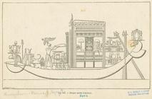
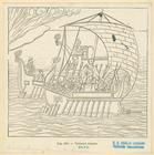
Barque sacrée d'Ammon
topic:
Navigation
Vaisseau Romain
topic:
Navigation
…
navigation
aérienne, publié…
Map showing relative geograph…
abstract:
… of
navigation
. "H. Doc 446 56 1."…
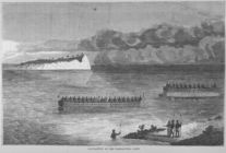
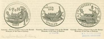
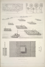
Roman galleys during the time…
topic:
Navigation
Chart of the Atlantic Ocean.
topic:
Navigation
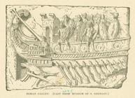
Roman galley
topic:
Navigation
m
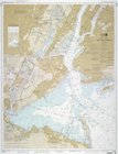
United States--east coast, Ne…
note:
…
navigation
charts.
Preliminary sketch of Chincot…
topic:
Navigation
… for
navigation
.
Profiles of the canals and ra…
Reconnaissance of Doboy Bar a…
topic:
Navigation
Profiles of the canals and ra…
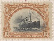
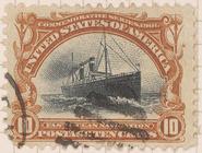
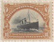
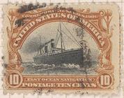
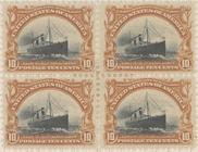
10c Fast Ocean
Navigation
single
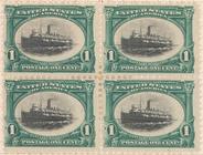
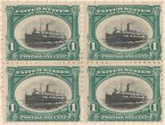
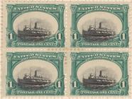
1c Fast Lake
Navigation
block of four
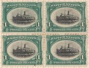
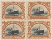
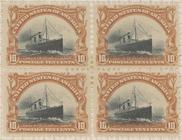
m
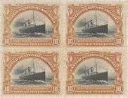
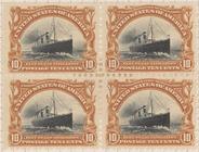
10c Fast Ocean
Navigation
block of four
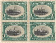
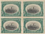
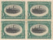
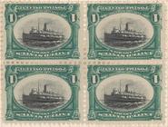
1c Fast Lake
Navigation
block of four
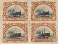
10c Fast Ocean
Navigation
block of four
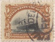
10c Fast Ocean
Navigation
single
10c Fast Ocean
Navigation
single
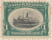
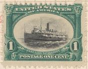
1c Fast Lake
Navigation
single
m
1c Fast Lake
Navigation
single
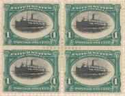
1c Fast Lake
Navigation
block of four
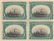
1c Fast Lake
Navigation
block of four
10c Fast Ocean
Navigation
single
1c Fast Lake
Navigation
single
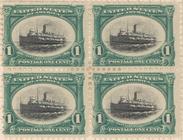
1c Fast Lake
Navigation
block of four
10c Fast Ocean
Navigation
single
10c Fast Ocean
Navigation
block of four
10c Fast Ocean
Navigation
block of four
m
The Keleck - River
Navigation
in Upper
Steamer Berksire
collection:
The Hudson
Navigation
Co.
….
Navigation
sur le Tigre; 4
m
…
NAVIGATION
CO. [at] TADOUSAC
1c Fast Lake
Navigation
block of four
10c Fast Ocean
Navigation
block of four
1c Fast Lake
Navigation
block of four
1c Fast Lake
Navigation
block of four
1c Fast Lake
Navigation
block of four
1c Fast Lake
Navigation
block of four
1c Fast Lake
Navigation
block of four
10c Fast Ocean
Navigation
block of four
m
Western Inland Lock
Navigation
Company account
Map of the Oregon Railroad and
Navigation