Click to visit the main New York Public Library Homepage
The New York Public Library
Digital Collections
About Digital Collections
Browse
Search only public domain materials
Items
Collections
Divisions
Home
Search
Browse
About
Search only public domain materials
Items
Collections
Divisions
Digital Collections
Using Images
Using Data
Search
Filtered keyword search
Show filters
Hide filters
Show Only Public Domain
topic
Atlases, British
1
Geography
1
name
Thornton, Samuel
14
Goos, Pieter, approximately 1616-1675
7
Carey, Mathew, 1760-1839
1
Dunn, Samuel, d. 1794
1
Manning, Thomas S
1
More
Less
collection
x
Atlases, gazetteers, guidebooks and other books
place
North Sea
15
Netherlands
3
Atlantic Ocean
2
Zeeland (Netherlands : Province)
2
Belgium
1
More
Less
genre
Maps
23
Nautical charts
14
publisher
P. Goos
7
Printed for Robert Sayer, No. 53, Fleet-Street
1
M. Carey
1
division
Map Division
23
type
cartographic
23
Date Range
to
23 results found for:
x
North Sea
Filtering on:
x
Collection
: b28be120-c602-012f-769c-58d385a7bc34
Sort by:
Relevance
Title
Date created
Date digitized
Sequence
… to navigate the
North
Sea
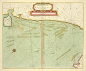
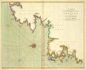
A new and correct chart of the
north
part
A large draught of the
North
part of CHINA
A chart of EEMS ELVE, Wefer, …
collection:
The
sea
A chart of the Eems of Old We…
collection:
The
sea
A description of the coast FL…
collection:
The
sea
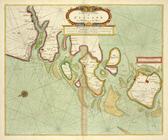
A chart of the
Sea
-Coast of ZEALAND from
… of the NORTHERN
SEAS
. Describing the
sea
coast and Islands
The Coast of NORWAY and Lap Land from
North
… to
North
-Kyn or
North
point
A chart of the Seacoasts of E…
collection:
The
sea
A chart of the
NORTH
SEA
A new chart of the
sea
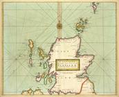
coast of SCOTLAND
… and Shetland with the
north
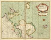
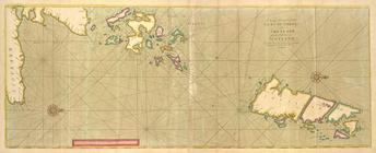
A chart of the
NORTH
-WEST coast
collection:
A chart of the
NORTH
-WEST coast of IRELAND
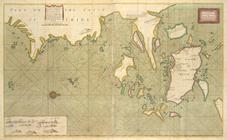
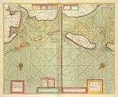
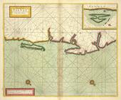
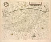
Pascaart van de Noort zee.
Pascaart van de Noord Zee, va…
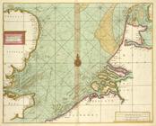
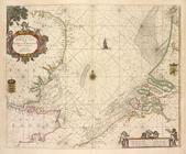
Cust van Hollant tusschen de …
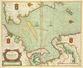
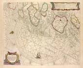
De Texel Stroom met de gaten …
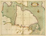
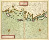
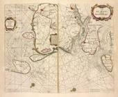
De cust van Zeelandt, begrype…
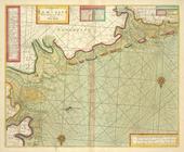
Pascaarte van Engelant, van't…
Pas-caart va Canaal vertoonen…
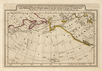
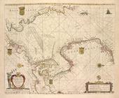
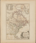
A new map of the United States of
North
note:
London, Printed for Rob[er]t Sayer, Map &
Sea
End of results
|
Top