Click to visit the main New York Public Library Homepage
The New York Public Library
Digital Collections
About Digital Collections
Browse
Search only public domain materials
Items
Collections
Divisions
Home
Search
Browse
About
Search only public domain materials
Items
Collections
Divisions
Digital Collections
Using Images
Using Data
Search
Filtered keyword search
Show filters
Hide filters
Show Only Public Domain
topic
Landowners
2
Real property
2
Fortification
1
Pictorial maps
1
name
Brink, P. Henry (Peter Henry)
2
Tillson, Oliver J
2
C.W. & R.A. Chipp (Firm)
1
Century Company
1
Matthews-Northrup Company
1
More
Less
collection
x
Maps of New York City and State
place
Kingston
3
Kingston (N.Y.)
3
New York (State)
3
New York (N.Y.)
2
Saugerties
2
More
Less
genre
Maps
6
Cadastral maps
2
publisher
s.n
2
Century Co
1
Matthews-Northrup Co
1
P.H. Brink & O.J. Tillson
1
P.H. Brink & O.J. Tillson, publishers
1
More
Less
division
Map Division
6
type
cartographic
6
Date Range
to
6 results found for:
x
Kingston (N.Y.)
Filtering on:
x
Collection
: Maps of New York City and State
For more collection details, visit the
Maps of New York City and State collection page
.
Sort by:
Relevance
Title
Date created
Date digitized
Sequence
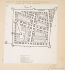
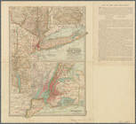
Kingstone
.
Map of part of
Kingston
,
N
.
Y
., on Rondout
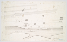
note:
… the city of
Kingston
.
m
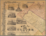
Map of Ulster County, New York
note:
…. Red in
Kingston
.
m
Map of Ulster County, New York
note:
…. Red in
Kingston
.
… to
Kingston
.
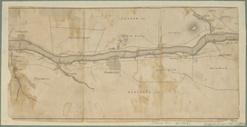
The Century atlas, New York, …
note:
… Yonkers to
Kingston
.