Click to visit the main New York Public Library Homepage
The New York Public Library
Digital Collections
About Digital Collections
Browse
Search only public domain materials
Items
Collections
Divisions
Home
Search
Browse
About
Search only public domain materials
Items
Collections
Divisions
Digital Collections
Using Images
Using Data
Search
Filtered keyword search
Show filters
Hide filters
Show Only Public Domain
topic
Zoning
220
City planning
77
Social conditions
77
Maps
37
Real property
5
More
Less
name
New York (N.Y.). Board of Estimate and Apportionment
331
M.B. Brown Printing and Binding Co
111
M.I.T. Press
77
New York (N.Y.). City Planning Commission
77
G.W. Bromley & Co
3
More
Less
collection
x
Atlases of New York City
place
New York (N.Y.)
302
New York (State)
302
New York
300
Maps
109
Brooklyn (New York, N.Y.)
2
More
Less
genre
Maps
519
Book covers
9
Index maps
3
Indexes
2
Illustrations
1
More
Less
publisher
New York (N.Y.). Board of Estimate and Apportionment
185
M.B. Brown Printing & Binding Co.,
111
MIT Press
77
The Board
72
Board of Estimate and Apportionment
37
More
Less
division
Map Division
532
type
cartographic
447
still image
78
text
11
Date Range
to
532 results found for:
x
Abbotsford (House : Roxburgh District, Scotland)
Filtering on:
x
Collection
: Atlases of New York City
For more collection details, visit the
Atlases of New York City collection page
.
Sort by:
Relevance
Title
Date created
Date digitized
Sequence
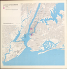
Landmarks and Historic
Districts
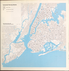
Community Planning
Districts
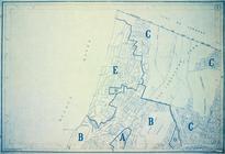
… planning
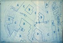
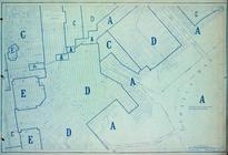
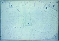
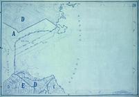
District
4
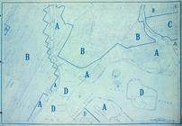
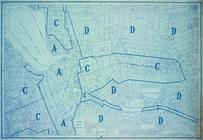
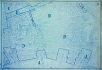
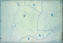
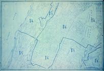
Area
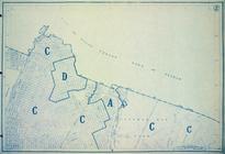
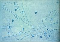
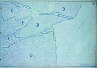
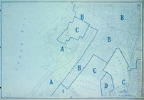
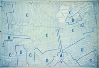
District
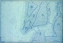
Map Section No. 1
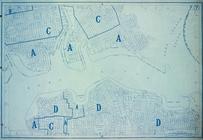
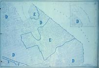
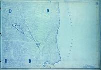
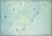
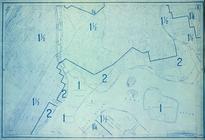
Area
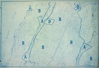
District
Map Section No. 2
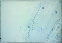
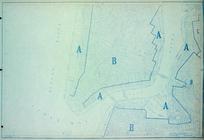
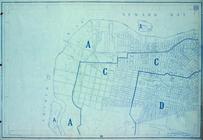
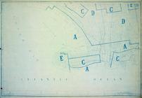
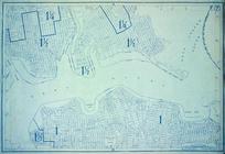
Area
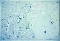
District
Map Section No. 3
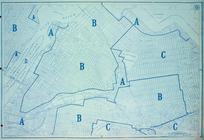
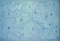
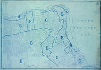
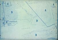
Area
District
Map Section No. 4
Area
District
Map Section No. 5
Area
District
Map Section No. 6
Area
District
Map Section No. 7
Area
District
Map Section No. 8
Area
District
Map Section No. 9
Area
District
Map Section No. 10
Area
District
Map Section No. 11
Area
District
Map Section No. 12
Area
District
Map Section No. 13
Area
District
Map Section No. 14
Area
District
Map Section No. 15
Area
District
Map Section No. 16
Area
District
Map Section No. 17
Area
District
Map Section No. 18
Area
District
Map Section No. 19
Area
District
Map Section No. 20
Area
District
Map Section No. 21
Area
District
Map Section No. 22
Area
District
Map Section No. 23
Area
District
Map Section No. 24
Area
District
Map Section No. 25
Area
District
Map Section No. 26
Area
District
Map Section No. 27
Area
District
Map Section No. 28
Area
District
Map Section No. 29
Area
District
Map Section No. 30
Area
District
Map Section No. 31
Area
District
Map Section No. 32
Area
District
Map Section No. 33
Area
District
Map Section No. 34
Area
District
Map Section No. 35
Height
District
Map Section No. 1
Height
District
Map Section No. 2
Height
District
Map Section No. 3
Height
District
Map Section No. 4
Height
District
Map Section No. 5
Height
District
Map Section No. 6
Height
District
Map Section No. 7
Height
District
Map Section No. 8
Height
District
Map Section No. 9
Height
District
Map Section No. 10
Height
District
Map Section No. 11
Height
District
Map Section No. 12
1
2
3
Previous
Next
1
2
3
Previous
Next