Click to visit the main New York Public Library Homepage
The New York Public Library
Digital Collections
About Digital Collections
Browse
Search only public domain materials
Items
Collections
Divisions
Home
Search
Browse
About
Search only public domain materials
Items
Collections
Divisions
Digital Collections
Using Images
Using Data
Search
Filtered keyword search
Show filters
Hide filters
Show Only Public Domain
topic
Real property
6
name
Perris & Browne
6
Perris, William
6
collection
x
Atlases of New York City
place
Manhattan (New York, N.Y.)
6
New York
6
New York (State)
6
genre
Maps
12
publisher
Perris & Browne
6
Perris & Browne
6
division
Map Division
6
type
cartographic
12
Date Range
to
12 results found for:
x
bowery 1862
Filtering on:
x
Collection
: Atlases of New York City
For more collection details, visit the
Atlases of New York City collection page
.
Sort by:
Relevance
Title
Date created
Date digitized
Sequence
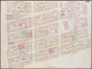
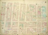
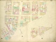
Map bounded by Broome Street,
Bowery
collection:
Maps of the city of New York [1857-
1862
]
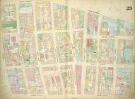
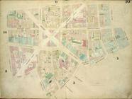
Map bounded by Houston Street,
Bowery
collection:
Maps of the city of New York [1857-
1862
]
…,
Bowery
collection:
Maps of the city of New York [1857-
1862
]
…, Houston Street,
Bowery
collection:
Maps of the city of New York [1857-
1862
]
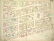
Map bounded by 4th Street,
Bowery
, Houston
collection:
Maps of the city of New York [1857-
1862
]
…,
Bowery
collection:
Maps of the city of New York [1857-
1862
]
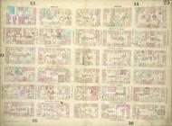
Plate 25: Map bounded by
Bowery
collection:
Maps of the city of New-York [1857-
1862
]
…,
Bowery
, Broome Street
collection:
Maps of the city of New-York [1857-
1862
]
…,
Bowery
; Including Hester
collection:
Maps of the city of New-York [1857-
1862
]
…,
Bowery
, Henry Street
collection:
Maps of the city of New-York [1857-
1862
]
…, Catherine Street,
Bowery
collection:
Maps of the city of New-York [1857-
1862
]
…, Franklin Square,
Bowery
collection:
Maps of the city of New-York [1857-
1862
]
End of results
|
Top