Click to visit the main New York Public Library Homepage
The New York Public Library
Digital Collections
About Digital Collections
Browse
Search only public domain materials
Items
Collections
Divisions
Home
Search
Browse
About
Search only public domain materials
Items
Collections
Divisions
Digital Collections
Using Images
Using Data
Search
Filtered keyword search
Show filters
Hide filters
Show Only Public Domain
topic
x
Railroads
Administrative and political divisions
21
Canals
20
New England
2
Altitudes
1
More
Less
name
Weed, Parsons & Co
9
New York (State). Board of Railroad Commissioners
5
Sweet, S. H. (Sylvanus Howe), 1830-1899
5
Smalley, Edward D., approximately 1843-
4
Vaughan, David, active 1849-1864
4
More
Less
collection
Maps of New York City and State
28
Atlases of the United States
2
place
New York (State)
29
New Jersey
8
Connecticut
7
Massachusetts
7
Pennsylvania
7
More
Less
genre
Maps
30
Atlases
2
Tourist maps
1
publisher
publisher not identified
5
Lith. by Weed, Parsons & Co
3
Asher & Adams
2
Board of Railroad Commissioners of the State of New York
2
New York State Board of Railroad Commissioners?
2
More
Less
division
Map Division
30
type
cartographic
30
Date Range
to
30 results found for:
x
Albany County (N.Y.)
Filtering on:
x
Topic
: Railroads
Sort by:
Relevance
Title
Date created
Date digitized
Sequence
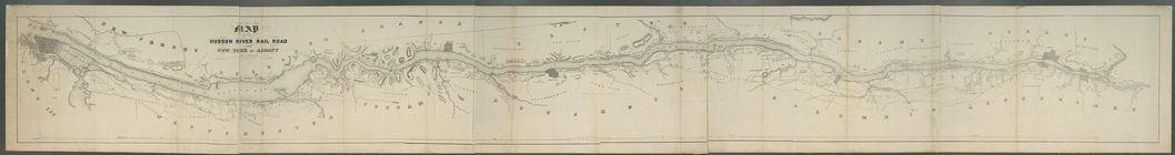
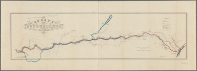
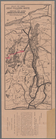
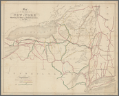
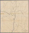
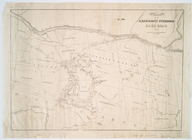
Albany
and Susquehanna Railroad, 1854
note:
…
Albany
, May 1854.
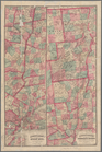
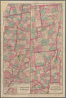
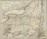
Asher & Adams' new map of the…
note:
Also shows natural features,
counties
Asher & Adams' new map of the…
note:
Also shows natural features,
counties
Engineers map of the state of…
note:
Also shows canals, drainage and
county
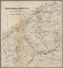
Map of Chautauqua
County
,
N
.
Y
note:
…
County
,
N.Y
., for 1873-4, Syracuse,
N.Y
., 1873.
Map of the great pleasure rou…
note:
… and
county
boundaries as well
m
… York to
Albany
note:
engraved by Robt. Haering,
N.Y
. ; W.C. Moore
Map of the rail roads and can…
note:
Also shows
counties
, principal cities and towns
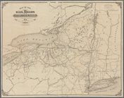
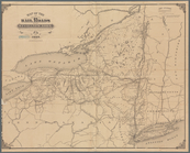
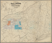
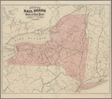
Map of the rail roads of the …
note:
Also shows
counties
, principal cities and towns
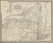
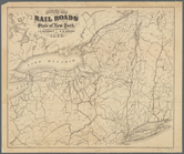
Map of the rail roads of the …
note:
Also shows
counties
, principal cities and towns
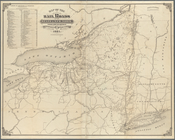
Map of the rail roads of the …
note:
Also shows
counties
, principal cities and towns
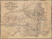
Map of the rail roads of the …
note:
Shows
counties
, principal cities and towns
Map of the rail roads of the …
note:
… 80°20ʹ--W 71°20ʹ/
N
45°42ʹ--
N
40°19ʹ).
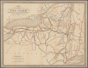
Map of the rail roads of the …
note:
Also shows canals, drainage and
county
Map of the rail-roads of the …
note:
Also shows canals, drainage and
county
Map of the rail-roads of the …
note:
Also shows canals and
county
boundaries as well
Map of the rail-roads of the …
note:
… and
county
boundaries as well
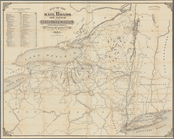
Map of the railroads of the S…
note:
Also shows canals, drainage and
county
Map of the reservoirs, feeder…
note:
… to Oneida
County
,
N.Y
.
Map of the Sacketts Harbor an…
note:
Also shows
county
and town boundaries.
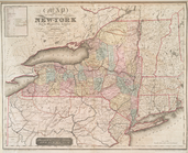
Map of the State of New-York:…
note:
… and
county
boundaries as well
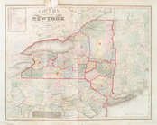
Map of the state of New-York …
note:
…"Published by Stone & Clark, Ithaca,
N.Y
. 1839."…
Map of the state of New-York …
note:
…"Published by Stone & Clark, Ithaca,
N.Y
. 1841."…
Map of the state of New-York …
note:
… and
county
boundaries as well
… in the city of
Albany
,
N
.
Y
.
note:
Also shows
counties
, cities and towns
Railroad map of the State of …
note:
… Warren St., New York,
N.Y
.
Revised map of the rail roads…
note:
Also shows canals, drainage and
county
Revised map of the rail roads…
note:
Shows
counties
, principal cities and towns
Revised map of the rail roads…
note:
Shows canals, drainage and
county
Route of the
Albany
& West Stockbridge Rail
note:
… of
Albany
,
N.Y
. and West
End of results
|
Top