Click to visit the main New York Public Library Homepage
The New York Public Library
Digital Collections
About Digital Collections
Browse
Search only public domain materials
Items
Collections
Divisions
Home
Search
Browse
About
Search only public domain materials
Items
Collections
Divisions
Digital Collections
Using Images
Using Data
Search
Filtered keyword search
Show filters
Hide filters
Show Only Public Domain
topic
x
Real property
Fire insurance
9
Cities & towns
6
name
Perris, William
6
Sanborn Map Company
6
Perris & Browne
3
E. Robinson Co
2
Pidgeon, R. H. (Roger H.)
2
More
Less
collection
Atlases of New York City
14
place
New York (State)
14
New York
8
Manhattan (New York, N.Y.)
6
New York (N.Y.)
2
genre
Maps
14
publisher
Sanborn Map Company
6
William Perris
3
Perris & Browne
3
E. Robinson Co
2
division
Map Division
11
type
x
cartographic
Date Range
to
14 results found for:
x
canal broadway
Filtering on:
x
Topic
: Real property
x
Type
: cartographic
Sort by:
Relevance
Title
Date created
Date digitized
Sequence
m
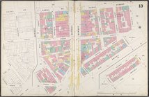
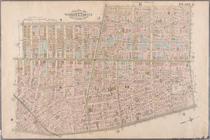
… [Map bounded by
Canal
St., East
Broadway
….,
Broadway
,
Canal
St.]
….,
Canal
St.,
Broadway
]
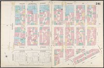
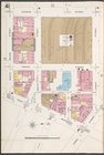
m
…., Rutgers St., E.
Broadway
, Pike St.,
Canal
St
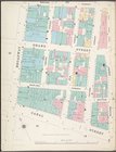
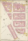
… Street,
Canal
Street, W.
Broadway
and Reade Street
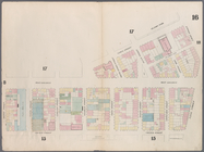
…
Broadway
,
Canal
Street
…., Laight St.,
Canal
St., W.
Broadway
, N. Moore St.]
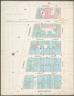
… bounded by Bowery,
Canal
… by Laight Street,
Canal
… by Spring Street,
Broadway
,
Canal
Street, Thompson
…,
Canal
Street,
Broadway
… by
Canal
Street, Centre
… by Vestry Street,
Canal
… Street,
Canal
Street
End of results
|
Top