Click to visit the main New York Public Library Homepage
The New York Public Library
Digital Collections
About Digital Collections
Browse
Search only public domain materials
Items
Collections
Divisions
Home
Search
Browse
About
Search only public domain materials
Items
Collections
Divisions
Digital Collections
Using Images
Using Data
Search
Filtered search
Show filters
Hide filters
Show Only Public Domain
topic
x
Nautical charts
Harbors
70
Coasts
60
Navigation
31
Rivers
8
More
Less
name
United States Coast Survey
198
Bache, A. D. (Alexander Dallas), 1806-1867
170
Mathiot, G
47
Alden, James, 1810-1877
31
Maffitt, John Newland, 1819-1886
24
More
Less
collection
Maps of North America
252
Lawrence H. Slaughter Collection of English maps, charts, globes, books and atlases
68
Maps of New York City and State
30
Maps of the Oceans
12
I. N. Phelps Stokes Collection of American Historical Prints
7
More
Less
place
Atlantic Ocean
39
New Jersey
33
New York (N.Y.)
32
Massachusetts
31
Virginia
31
More
Less
genre
Maps
381
Nautical charts
218
Bathymetric maps
100
Prints
9
Illustrations
3
More
Less
publisher
U.S. Coast Survey
95
U.S. Coast Survey Office
51
United States Coast Survey
21
publisher not identified
9
The Survey
6
More
Less
division
Map Division
374
Wallach Division: Print Collection
7
type
x
cartographic
still image
10
text
2
Date Range
to
381 results found
Filtering on:
x
Topic
: Nautical charts
x
Type
: cartographic
Sort by:
Title
Date created
Date digitized
Sequence
Results 251 - 300
To the independent mariners o…
A Generall chart of the Weste…
A Generall chart for the West…
Ocean Atlantique, ou, Mer du …
A new generall chart for the …
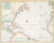
The Western Ocean.
A chart of the Atlantic Ocean…
Terra nova, ac maris tractus …
A New and correct chart of th…
A New generall chart for the …
A chart of Delaware Bay and R…
A chart of Delaware Bay and R…
A chart of Delaware Bay and R…
Baye de la Delaware avec les …
A Chart of ye coast of New En…
A chart of the sea coast of N…
Pas-Kaart vande zee kusten va…
Carte reduite des costes orie…
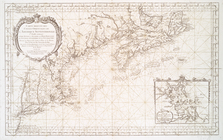
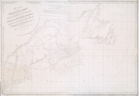
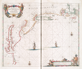
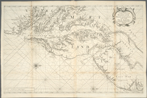
The coast of Nova Scotia, New…
A chart of Delawar River from…
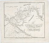
The bay and river of Delaware
The coast of Nova Scotia, New…
A chart of the bar of Sandy H…
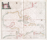
A general chart of the West I…
A new generall chart for the …
Chart of Long Island Sound, 1…
Entrance to New York Bay from…
Nautical chart of Little Egg …
The Bay and river of Delaware
Chart of the entrance to Ches…
A chart of Delawar Bay : with…
A new chart of the Atlantic o…
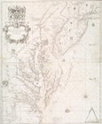
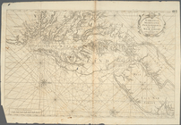
A new map of Virginia, Maryla…
A chart of the sea coasts of …
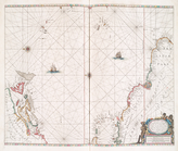
A chart of the West Indies fr…
A chart of Delaware Bay and R…
Pascaerte vande Vlaemsche, So…
Pas caerte van Nieu Nederland…
Pascaerte van Westindien : de…
Ocean Atlantique, ou, Mer du …
Virginia, Maryland, Pennsilva…
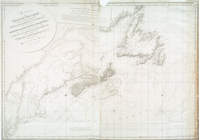
A chart of the coast of New Y…
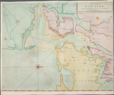
A draught of New York from th…
A new and accurate chart of t…
Virginia, Maryland, Pennsilva…
A chart of the Atlantick Ocea…
Paskaert waer in de graden de…
Cours de la rivière d'Hudson …
Bowles's new pocket map of th…
m
The provinces of New York, an…
1
2
Previous
Next
1
2
Previous
Next