Click to visit the main New York Public Library Homepage
The New York Public Library
Digital Collections
About Digital Collections
Browse
Search only public domain materials
Items
Collections
Divisions
Home
Search
Browse
About
Search only public domain materials
Items
Collections
Divisions
Digital Collections
Using Images
Using Data
Search
Filtered search
Show filters
Hide filters
Show Only Public Domain
topic
x
Administrative and political divisions
Railroads
244
Real property
103
Landowners
96
Description and travel
62
More
Less
name
Bulychev, Ivan Dem'ianovich
62
United States. General Land Office
52
G.W. & C.B. Colton & Co
43
Rand McNally and Company
41
Roeser, C. (Charles)
26
More
Less
collection
Maps of North America
561
Maps of New York City and State
334
Puteshestvie po vostochnoi Sibiri I. Bulychova, Ch. 1, IAkutskaia oblast, Okhotskii krai
62
Lawrence H. Slaughter Collection of English maps, charts, globes, books and atlases
6
Maps of Asia
4
More
Less
place
New York (State)
294
New York (N.Y.)
119
Manhattan (New York, N.Y.)
88
Massachusetts
81
New York
68
More
Less
genre
Maps
907
Cadastral maps
72
Prints
63
Drawings
62
Road maps
17
More
Less
publisher
V Tip. imperatorskoĭ Akdemīĭ Nauk
62
publisher not identified
51
G.W. & C.B. Colton & Co
26
General Land Office
24
Department of the Interior, General Land Office
20
More
Less
division
Map Division
905
General Research Division
62
Manuscripts and Archives Division
1
Wallach Division: Print Collection
1
type
cartographic
906
still image
78
text
17
Date Range
to
969 results found
Filtering on:
x
Topic
: Administrative and political divisions
Sort by:
Title
Date created
Date digitized
Sequence
Results 751 - 800
New-York city and county map …
Connecticut
Connecticut: with portions of…
m
Norman's plan of New Orleans …
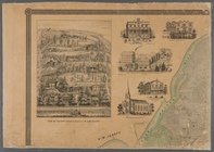
The city of Chicago, Cook Co.…
Map of the city of Chicago
Map of the Sacketts Harbor an…
Topographical map of New York…
A plat exhibiting the state o…
A map of a tract of land in t…
m
Map of Loudoun County, Virgin…
m
Map of Staten Island, or Rich…
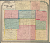
Colton's railroad & township …
Colton's railroad & township …
Map of the surveyed portions …
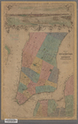
Map of Orleans County, New Yo…
Plan of the city of Philadelp…
Map of the state of New York …
m
Map of the City of New York w…
m
Map of the state of New-York:…
m
Map of Oswego, Oswego Co., N.…
Plan von New-York, 1851
The state of Connecticut: inc…
Map of the City of New York w…
m
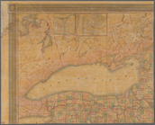
Map of the vicinity of Albany…
Plan of Boston comprising a p…
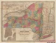
Map of the State of New-York …
Map of the City of New York w…
Map of the village of Taunton…
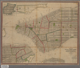
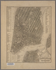
Map of the city of New York :…
Map of the state of New York …
Map of the state of New York …
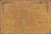
Map of the state of New York
Map of the state of New York …
Map of Massachusetts
A new map of the state of Ohio
Southern New England
Indiana, 1820
Map of the states of Missouri…
A chorographical map of the p…
m
Bonner's pocket map of the st…
m
Sidney's map of twelve miles …
m
Map of the city of Brooklyn, …
Sidney's map of twelve miles …
A chorographical map of the p…
A map of the city of Providen…
Map of the vicinity of Boston…
Map of the state of New York …
City of New-York
A map of the City of Worcester
1
2
3
4
Previous
Next
1
2
3
4
Previous
Next