Click to visit the main New York Public Library Homepage
The New York Public Library
Digital Collections
About Digital Collections
Browse
Search only public domain materials
Items
Collections
Divisions
Home
Search
Browse
About
Search only public domain materials
Items
Collections
Divisions
Digital Collections
Using Images
Using Data
Search
Filtered search
Show filters
Hide filters
Show Only Public Domain
topic
x
Atlases
Geography
119
Historical geography
61
Maps in education
60
Geography, Ancient
29
More
Less
name
Society for the Diffusion of Useful Knowledge (Great Britain)
115
J. & C. Walker (Firm)
104
W. T. Davies & Sons
96
Faden, William, 1749-1836
60
Palmer, W. (William), 1739-1812
30
More
Less
collection
Lawrence H. Slaughter Collection of English maps, charts, globes, books and atlases
181
Cigarette cards
96
Atlases of the United States
21
Atlases, gazetteers, guidebooks and other books
4
Atlas eclipticalis 1950.0
1
More
Less
place
Great Britain
178
England
61
New York (State)
21
Suffolk County
20
Italy
6
More
Less
genre
Maps
196
Prints
98
Advertisements
96
Advertising cards
96
Cards
96
More
Less
publisher
Chapman and Hall
115
Published by Wm. Faden, geographer to His Majesty, and His R.H. the Prince of Wales
58
And are to be sold at his shopps in Wapping at the Hermitage and in Exchange-Alley near the Royall-Exchange ..
3
Printed for Tho. Basset ... and Ric. Chiswell ...,
2
W. Faden
2
More
Less
division
Map Division
207
George Arents Collection
96
Rare Book Division
1
Wallach Division: Print Collection
1
type
cartographic
196
text
104
still image
103
Date Range
to
305 results found
Filtering on:
x
Topic
: Atlases
Sort by:
Title
Date created
Date digitized
Sequence
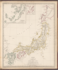
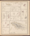
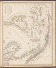
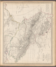
Empire of Japan
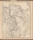
Turkey I: containing the nort…
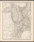
Asia
Turkey containing the provinc…
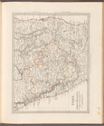
Syria
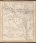
Arabia with Egypt, Nubia and …
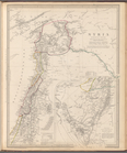
Persia with part of the Ottom…
Western Siberia, Independent …
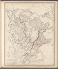
Siberia and Chinese Tartary
Bokhara, Cabool, Beloochistan…
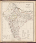
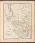
India XII: Index map
India I and Ceylon
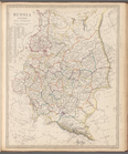
India III: Bombay Presidency
India IV
India VI
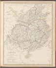
China: the interior, chiefly …
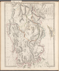
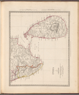
Islands in the Indian Ocean
India IX
India XI
China and the Birman Empire: …
m
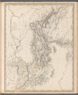
Maps of the Society for the D…
Eastern Islands or Malay Arch…
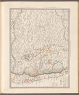
The southern provinces of Swe…
Russia in Europe, Part X, gen…
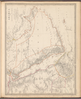
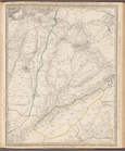
Russia, Part III
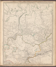
Russia in Europe, Part VI
Turkey II: containing the Nor…
Turkey III: containing the So…
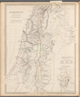
Palestine in the time of our …
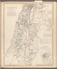
Palestine with the Hauran and…
Russia in Europe, Part IX and…
The Turkish Empire in Europe …
Ancient Macedonia, Thracia, I…
Eastern Siberia
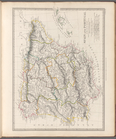
The Panjab with part of Afgha…
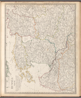
India II : Madras Presidency
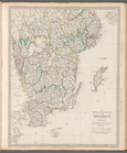
India: Bengal Presidency
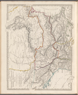
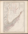
Spain and Portugal
Spain (Espana) II
Spain (Espana) III
Portugal
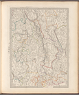
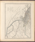
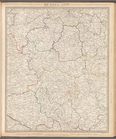
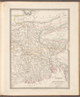
Germany (Deutschland) I: Hols…
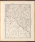
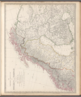
Austrian Dominions III: Croat…
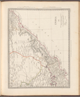
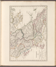
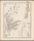
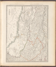
The northern provinces of Swe…
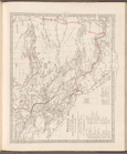
Russia, Part IV
Ancient Greece: Southern part
India V
India X
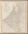
The Netherlands and Belgium
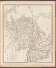
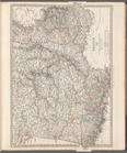
France III
1
2
Previous
Next
1
2
Previous
Next