Click to visit the main New York Public Library Homepage
The New York Public Library
Digital Collections
About Digital Collections
Browse
Search only public domain materials
Items
Collections
Divisions
Home
Search
Browse
About
Search only public domain materials
Items
Collections
Divisions
Digital Collections
Using Images
Using Data
Search
Filtered search
Show filters
Hide filters
Show Only Public Domain
topic
x
Coal
Storage
53
Piers & wharves
12
Coal mining
8
Coal trade
8
More
Less
name
Sperr, Percy Loomis, 1890-1964
51
Hart, Lane S
4
Geological Survey of Pennsylvania
3
Julius Bien & Co
3
Knight, Charles, 1791-1873
3
More
Less
collection
Photographic views of New York City, 1870's-1970's, from the collections of the New York Public Library
57
Maps of North America
17
"The Pageant of America" Collection
12
Wallach Division Picture Collection
4
Knight's pictorial gallery of arts
3
More
Less
place
New York (N.Y.)
57
New York (State)
30
New York
28
East River (N.Y.)
15
Manhattan (New York, N.Y.)
12
More
Less
genre
Photographs
74
Maps
17
Prints
7
Diagrams
4
Illustrations
4
More
Less
publisher
Second Geological Survey of Pennsylvania
3
The London Printing and Publishing Company, Limited
3
Benjamin Smith Lyman?
2
publisher not identified
2
Board of Commissioners for the Second Geological Survey
1
More
Less
division
Milstein Division
57
Map Division
17
Wallach Division: Photography Collection
15
Wallach Division: Picture Collection
6
General Research Division
4
More
Less
type
still image
88
cartographic
17
text
3
Date Range
to
105 results found
Filtering on:
x
Topic
: Coal
Sort by:
Title
Date created
Date digitized
Sequence
m
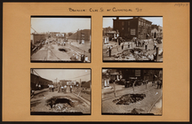
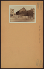
Brooklyn: Clay Street - Comme…
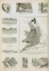
Coal : coal stratifications, …
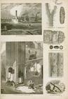
Coal : fossil plants in coal,…
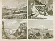
Coal : quality screeing, rail…
m
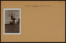
Bridges - Brooklyn Bridge - […
Topographical map of lands be…
m
Geology of Ohio, vol. VII, Ma…
Plan of a mineral estate situ…
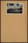
St. Lucia; "There is a contin…
A geological and topographica…
A geological and topographica…
Geological and sectional map …
m
Map and geological cross-sect…
Map of the Cahaba coal field …
m
Title map of the coal field o…
Map of Beaver County showing …
Map of southern Butler County…
Map of North Allegheny, showi…
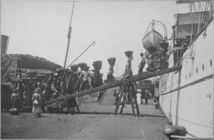
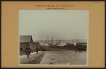
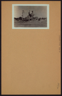
[The Army also had men statio…
Map of the Valley Furnace Est…
Railroad, canal, iron and coa…
Topographical map in thirty-f…
m
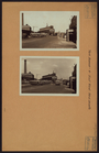
Bronx: Unionport Road - Tremo…
m
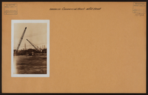
Brooklyn: Commercial Street -…
m
Manhattan: 13th Avenue - 29th…
m
Manhattan: 5th Street (East) …
m
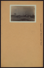
Celebrations - Parades - Muni…
m
Bronx: Exterior Street - 150t…
m
Bronx: Ferris Place - 177th S…
m
Bronx: West Farms Road - No. …
m
Brooklyn: Flatbush Avenue - N…
m
Manhattan: 12th Avenue - 28th…
m
Manhattan: 19th Street (East)…
m
Manhattan: Avenue B - 19th St…
m
Manhattan: 19th Street (West)…
m
Manhattan: Lexington Avenue -…
m
Manhattan: Lexington Avenue -…
m
Manhattan: Marie Curie Avenue…
m
Manhattan: Park Avenue - 133r…
m
Manhattan: York Avenue - 91st…
m
Manhattan: York Avenue - 92nd…
m
Queens: 6th Road - 151st Stre…
m
Queens: 33rd Street - 20th Ro…
m
Queens: Corona Avenue - Newma…
m
Richmond: Giffords Lane - Lam…
m
Richmond: Murray Hulbert Aven…
m
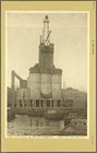
Bridges - Flushing River Brid…
m
Occupations - Peddlers - Ice …
m
Occupations - Peddlers - Ice …
m
Bronx River - Westchester Ave…