Click to visit the main New York Public Library Homepage
The New York Public Library
Digital Collections
About Digital Collections
Browse
Search only public domain materials
Items
Collections
Divisions
Home
Search
Browse
About
Search only public domain materials
Items
Collections
Divisions
Digital Collections
Using Images
Using Data
Search
Filtered search
Show filters
Hide filters
Show Only Public Domain
topic
x
Nautical charts
Coasts
2
Description and travel
1
Harbors
1
name
United States Coast Survey
6
Alden, James, 1810-1877
5
Bache, A. D. (Alexander Dallas), 1806-1867
4
McMurtrie, W. B. (William Birch)
3
Fairfax, Wilson M. C
2
More
Less
collection
Maps of North America
7
Atlases, gazetteers, guidebooks and other books
2
I. N. Phelps Stokes Collection of American Historical Prints
2
place
California
5
Pacific Coast
2
Washington (State)
2
Africa, North
1
Anacapa Island (Calif.)
1
More
Less
genre
Maps
10
Nautical charts
7
Illustrations
4
Prints
4
Bathymetric maps
1
More
Less
publisher
U.S. Coast Survey
3
Coast Survey Office
1
R. Sayer and J. Bennett
1
The Survey
1
U.S. Coast Survey Office
1
More
Less
division
Map Division
9
Wallach Division: Print Collection
2
type
x
still image
cartographic
10
text
1
Date Range
to
11 results found
Filtering on:
x
Topic
: Nautical charts
x
Type
: still image
Sort by:
Title
Date created
Date digitized
Sequence
Chart of the Columbia River f…
Reconnaissance of the western…
Reconnaissance of Smith's or …
Reconnaissance of Trinidad Ba…
Preliminary chart of Tomales …
Reconnaissance of the western…
Reconnaissance of the S.E. en…
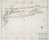
Part of New England New York …
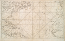
Nieuwe wassende Graade Zee ka…
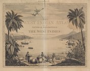
The West-India atlas..., [Fro…
m
Sable Island
End of results
|
Top