Click to visit the main New York Public Library Homepage
The New York Public Library
Digital Collections
About Digital Collections
Browse
Search only public domain materials
Items
Collections
Divisions
Home
Search
Browse
About
Search only public domain materials
Items
Collections
Divisions
Digital Collections
Using Images
Using Data
Search
Filtered search
Show filters
Hide filters
Show Only Public Domain
topic
x
Roads
Railroads
88
Mountains
70
Administrative and political divisions
56
Passes (Landforms)
26
More
Less
name
National Highways Association
215
Sperr, Percy Loomis, 1890-1964
64
Kilburn Brothers
34
Pease, N. W. (Nathan W.), 1836-1918
20
Rand McNally and Company
16
More
Less
collection
National Highways Association: Photographs
215
Robert N. Dennis collection of stereoscopic views
178
Maps of North America
93
Photographic views of New York City, 1870's-1970's, from the collections of the New York Public Library
89
Maps of New York City and State
84
More
Less
place
United States
267
New York (State)
198
New York
128
New Hampshire
102
New York (N.Y.)
102
More
Less
genre
Photographs
578
Maps
212
Stereographs
179
Postcards
79
Road maps
42
More
Less
publisher
Detroit Publishing Company
62
M. Carey
15
G.W. & C.B. Colton & Co
14
L. Prang & Co
9
publisher not identified
9
More
Less
division
Wallach Division: Photography Collection
313
General Research Division
229
Map Division
210
Milstein Division
94
Wallach Division: Picture Collection
31
More
Less
type
still image
711
cartographic
211
text
20
notated music
1
Date Range
to
921 results found
Filtering on:
x
Topic
: Roads
Sort by:
Title
Date created
Date digitized
Sequence
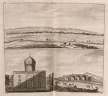
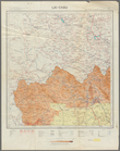
Ardevil
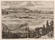
Gesicht van 't Lant Zji-raes …
m
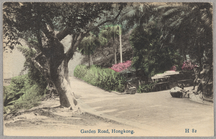
Garden Road, Hongkong
View of Chambersburg Turnpike…
Map of New York City and vici…
Rand, McNally & Co.'s new aut…
m
Metropolitan district local a…
m
The John Wanamaker automobile…
New York and vicinity roads a…
Road map of the New York dist…
Birdseye view of greater New …
m
Map showing 100 miles around …
Rand McNally official 1921 au…
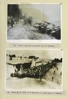
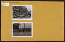
Two Photographs Polish roads …
m
Map showing 50 miles around N…
m
The five boroughs of the city…
Hagstrom's map of 50 mile rad…
American Automobile Associati…
Rand McNally standard map of …
m
Map of New York City : showin…
Map showing location of propo…
Plan of the great meadows of …
Rand McNally & Co.'s new hand…
Map of the City of New York a…
Hammond's new guide map of Ma…
m
Hammond's new guide map of Ma…
m
Map of New York : showing Leh…
Plan of Bay Ridge Parkway
m
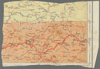
Driving road chart of the cou…
m
Rand McNally & Co.'s road map…
Map of New York City and vici…
m
Vicinity of New York
m
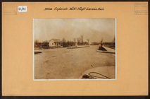
Bronx: Fieldston Road - 256th…
m
Bronx: Bronx and Pelham Par -…
m
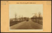
Bronx: Pelham Parkway North -…
m
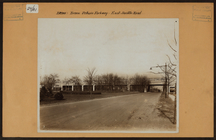
Bronx: Esplanade - Haight Ave…
m
Bronx: Cross Bronx Expressw -…
Verona.
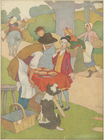
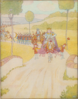
Says the pieman to Simple Sim…
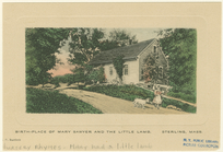
Birth-place of Mary Sawyer an…
m
This is the cock that crowed …
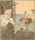
All the king's horses, and al…
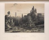
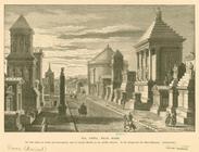
Via Appia, near Rome
Lower right section of a shee…
Carte routière de l'Indochine…
Carte routière de l'Indochine…
Carte routière de l'Indochine…
Carte routière de l'Indochine…
Carte routière de l'Indochine…
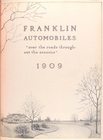
Franklin automobiles "over th…
1
2
3
4
Previous
Next
1
2
3
4
Previous
Next