Click to visit the main New York Public Library Homepage
The New York Public Library
Digital Collections
About Digital Collections
Browse
Search only public domain materials
Items
Collections
Divisions
Home
Search
Browse
About
Search only public domain materials
Items
Collections
Divisions
Digital Collections
Using Images
Using Data
Search
Filtered keyword search
Show filters
Hide filters
Show Only Public Domain
topic
Geography
123
Real property
94
Landowners
65
Administrative and political divisions
60
Railroads
31
More
Less
name
Coignet, Michel, 1549-1623
123
Ortelius, Abraham, 1527-1598
123
Shawe, James
123
G.M. Hopkins & Co
75
O.W. Gray & Son
73
More
Less
collection
Atlases of the United States
259
Maps of North America
258
Lawrence H. Slaughter Collection of English maps, charts, globes, books and atlases
147
Maps of New York City and State
26
I. N. Phelps Stokes Collection of American Historical Prints
11
More
Less
place
Pennsylvania
149
Jersey City (N.J.)
76
Philadelphia (Pa.)
76
Hudson County (N.J.)
75
Dutchess County (N.Y.)
72
More
Less
genre
Maps
727
Atlases
254
Cadastral maps
78
Topographic maps
18
Prints
16
More
Less
publisher
Printed for Ieames Shawe, and are to be solde at his shoppe nigh Ludgate,
123
G.M. Hopkins Co.,
75
Reading Publishing House
72
G.W. Bromley and Co.,
69
A.H. Mueller
35
More
Less
division
Map Division
678
Milstein Division
30
Wallach Division: Print Collection
11
General Research Division
3
Manuscripts and Archives Division
3
More
Less
type
x
cartographic
still image
19
text
8
Date Range
to
730 results found for:
x
Waa-Pa-Shaw
Filtering on:
x
Type
: cartographic
Sort by:
Relevance
Title
Date created
Date digitized
Sequence
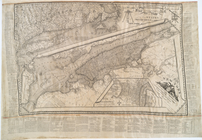
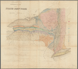
A plan of part of the provin…
A chart of Delaware Bay and R…
note:
… to Philadelphia,
Pa
.
A chart of Delaware Bay and R…
note:
… to Philadelphia,
Pa
.
A chorographical map of the c…
A general chart of all the co…
A geological and topographica…
…., Westm'd Co.,
Pa
. …
A map of Kentucky from actual…
A map of New England & ye cou…
A map of part of Rhode Island…
A map of part of the Province…
A map of Philadelphia and par…
A map of Philadelphia and par…
A map of Philadelphia and par…
m
A map of Schuylkill County, P…
note:
… Pottsville,
Pa
., April 1855.
A map of that part of Pensylv…
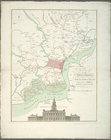
A Map of the country round Ph…
A map of the roads leading to…
note:
Covers
Pa
. east of the Susquehanna River and most
A map of the state of New Jer…
… with
pa
[rt of] New-York
A mapp of ye improved part of…
A New and accurate map of the…
note:
Covers eastern
Pa
.
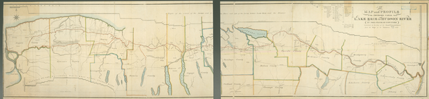
A new map and profile of the …
A new map of Pennsylvania : w…
A new sectional map of the st…
A plan of Greenville, Norwich…
m
A plan of the boundary lines …
A plan of the city and enviro…
A plan of the city and enviro…
m
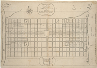
A plan of the city of Philade…
A plan of the land belonging …
A plan of the operations of t…
A plan of the operations of t…
topic:
Brandywine, Battle of,
Pa
., 1777
A Plan of the Straits of St. …
A portraiture of the city of …
A series of columnar sections…
A Tracing of parts of the sta…
abstract:
Covers northeastern Ohio, northwestern
Pa
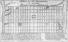
Abris der Stadt Philadelphia …
m
… of Chester County,
Pa
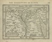
Aegyptus.
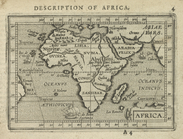
Africa ; Delta of The Nile; I…
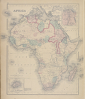
Africa.
Agricultural and geological m…
note:
…, N.Y. to Blossburg,
Pa
.
Agricultural Productions in t…
Alabama
Alaska
m
Alaska; United States of Amer…
Albertson's map of the city o…
note:
…, Philadelphia,
Pa
.
m
Amenia Union [Village]; Clint…
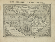
America.
1
2
3
Previous
Next
1
2
3
Previous
Next