Click to visit the main New York Public Library Homepage
The New York Public Library
Digital Collections
About Digital Collections
Browse
Search only public domain materials
Items
Collections
Divisions
Home
Search
Browse
About
Search only public domain materials
Items
Collections
Divisions
Digital Collections
Using Images
Using Data
Search
Filtered keyword search
Show filters
Hide filters
Show Only Public Domain
topic
Historical geography
56
Atlases
55
Maps in education
55
History
32
Administrative and political divisions
21
More
Less
name
Faden, William, 1749-1836
110
Palmer, W. (William), 1739-1812
29
Hatchett, J. (John)
15
J.H. Colton & Co
10
S. Stiles & Co
9
More
Less
collection
Maps of North America
72
Lawrence H. Slaughter Collection of English maps, charts, globes, books and atlases
66
Maps of New York City and State
43
Atlante del basso ed alto Egitto
8
The Eno collection of New York City views
8
More
Less
place
Great Britain
58
England
56
New York (State)
39
New York (N.Y.)
30
United States
23
More
Less
genre
Maps
221
Prints
26
Cadastral maps
12
Illustrations
8
Nautical charts
5
More
Less
publisher
Published by Wm. Faden, geographer to His Majesty, and His R.H. the Prince of Wales
53
publisher not identified
14
nello stabilimento posto nei Fondacci di S. Spirito N. 1993
8
Published by J.H. Colton & Co
5
Ten Brink & De Vries
5
More
Less
division
Map Division
195
General Research Division
16
Wallach Division: Print Collection
12
Rare Book Division
4
Manuscripts and Archives Division
2
More
Less
type
x
cartographic
text
7
still image
3
Date Range
to
232 results found for:
x
1836 "new york"
Filtering on:
x
Type
: cartographic
Sort by:
Relevance
Title
Date created
Date digitized
Sequence
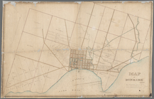
Map of the village of Waterto…
use:
… partner (e.g.,
New
York
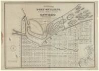
Village of Port Ontario, in t…
use:
… partner (e.g.,
New
York
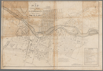
Map of the upper part of the …
use:
… partner (e.g.,
New
York
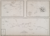
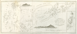
Chart of Lake Ontario
use:
… partner (e.g.,
New
York
Map of property at Van Buren …
use:
… partner (e.g.,
New
York
m
Map of Dunkirk
use:
… partner (e.g.,
New
York
Map of parts of Escambia and …
use:
… partner (e.g.,
New
York
… June
1836
, at 12 o
use:
… partner (e.g.,
New
York
City of Apalachicola and its …
use:
… partner (e.g.,
New
York
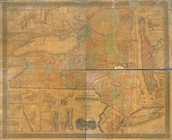
The states of Ohio, Indiana &…
use:
… partner (e.g.,
New
York
m
Map of the United States
use:
… partner (e.g.,
New
York
Plan of the Tunnel with refer…
use:
… partner (e.g.,
New
York
m
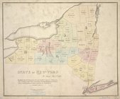
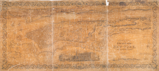
Map of the state of
New
-
York
: with parts
use:
… partner (e.g.,
New
York
New sectional map of the stat…
use:
… partner (e.g.,
New
York
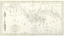
Map of the Indian Tribes of N…
use:
… partner (e.g.,
New
York
Map showing the lands assigne…
use:
… partner (e.g.,
New
York
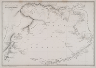
Chart of the mouth of Susqueh…
use:
… partner (e.g.,
New
York
Chart of the mouth of Susqueh…
use:
… partner (e.g.,
New
York
… on Thursday, 24th March,
1836
use:
… partner (e.g.,
New
York
City of Washington
use:
… partner (e.g.,
New
York
Map of the town of Needham, M…
use:
… partner (e.g.,
New
York
m
Map of the first and second a…
use:
… partner (e.g.,
New
York
… of the city of
New
York
use:
… partner (e.g.,
New
York
…., on Satuday the 28th May,
1836
use:
… partner (e.g.,
New
York
Improved map of the territori…
use:
… partner (e.g.,
New
York
State of
New
York
: in Senate Jany. 7th,
1836
use:
… partner (e.g.,
New
York
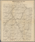
Allegany Co., N. Y. to accomp…
use:
… partner (e.g.,
New
York
180 lots on the Marsellis Tra…
use:
… partner (e.g.,
New
York
The tourist's guide through t…
use:
… partner (e.g.,
New
York
A new map of Arkansas
use:
… partner (e.g.,
New
York
A map of part of Alabama & Fl…
use:
… partner (e.g.,
New
York
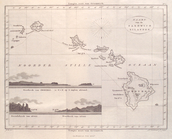
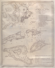
Kaart van de Sandwich Eilande…
use:
… partner (e.g.,
New
York
Mappe-Monde
A map of part of Alabama & Fl…
use:
… partner (e.g.,
New
York
Plan du groupe oulleay
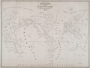
Carte generale de la mer de B…
… plan of the city of
New
York
use:
… partner (e.g.,
New
York
…, Wisconsin,
1836
…
use:
… partner (e.g.,
New
York
Kaart ter aanwijzing der reiz…
use:
… partner (e.g.,
New
York
Kaart van een gedeelte van de…
use:
… partner (e.g.,
New
York
De rivier Tigres of Choo-Kean…
use:
… partner (e.g.,
New
York
Schets van het Schier Eiland …
use:
… partner (e.g.,
New
York
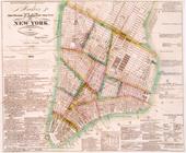
… of the city and county of
New
-
York
, and the adjacent
use:
… partner (e.g.,
New
York
The travellers guide, or, Map…
use:
… partner (e.g.,
New
York
m
An improved edition of a map …
use:
… partner (e.g.,
New
York
Windham County, Vt.: To accom…
use:
… partner (e.g.,
New
York
Map of Illinois with parts of…
use:
… partner (e.g.,
New
York
A map of the extremity of Cap…
use:
… partner (e.g.,
New
York
A map of a portion of the Ind…
use:
… partner (e.g.,
New
York
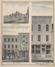
…, Established in
1836
. Dry Goods
use:
… partner (e.g.,
New
York