Click to visit the main New York Public Library Homepage
The New York Public Library
Digital Collections
About Digital Collections
Browse
Search only public domain materials
Items
Collections
Divisions
Home
Search
Browse
About
Search only public domain materials
Items
Collections
Divisions
Digital Collections
Using Images
Using Data
Search
Filtered keyword search
Show filters
Hide filters
Show Only Public Domain
topic
Atlases, British
5
Estate
1
Landowners
1
Real property
1
name
Seller, John, active 1658-1698
5
Burr family
1
Burr, Isaac
1
Lea, Philip, active 1683-1700
1
Ludlam, Isaac T
1
More
Less
collection
Lawrence H. Slaughter Collection of English maps, charts, globes, books and atlases
6
Maps of New York City and State
1
Maps of North America
1
place
America -- Maps -- Early works to 1800
1
Canada
1
Caribbean Area
1
Central America -- Maps -- Early works to 1800
1
Great Britain -- Colonies -- America -- Maps -- Early works to 1800
1
More
Less
genre
Maps
8
Manuscript maps
1
publisher
J. Seller
5
Sold by Geo: Willdey
1
T. Morrison
1
division
Map Division
8
type
x
cartographic
Date Range
to
8 results found for:
x
490
Filtering on:
x
Type
: cartographic
Sort by:
Relevance
Title
Date created
Date digitized
Sequence
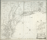
A new map of New England, New…
America.
note:
Phillips
490
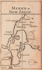
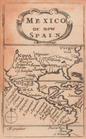
Mexico, or, New Spain
note:
Phillips
490
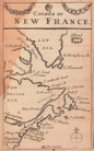
Canada, or, New France
note:
Phillips
490
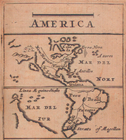
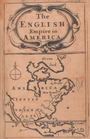
The English Empire in America.
note:
Phillips
490
Mexico, or, New Spain.
note:
Phillips
490
The Philadelphia visiter's [s…
Map of property in the 19th w…
note:
Scale [ca. 1:
490
].