Click to visit the main New York Public Library Homepage
The New York Public Library
Digital Collections
About Digital Collections
Browse
Search only public domain materials
Items
Collections
Divisions
Home
Search
Browse
About
Search only public domain materials
Items
Collections
Divisions
Digital Collections
Using Images
Using Data
Search
Filtered keyword search
Show filters
Hide filters
Show Only Public Domain
topic
Antiquities
66
Description and travel
51
Archaeological sites
23
History
17
Manuscripts, Italian
15
More
Less
name
Norden, Frederik Ludvig, 1708-1742
40
Tuscher, Markus, 1705-1751
40
Agnese, Battista, 16th cent
15
Agnese, Battista, active 16th century
15
Bridges
14
More
Less
collection
The antiquities, natural history, ruins and other curiosities of Egypt, Nubia and Thebes. Exemplified in near two hundred drawings taken on the spot
40
Maps of North America
23
Lawrence H. Slaughter Collection of English maps, charts, globes, books and atlases
18
I. N. Phelps Stokes Collection of American Historical Prints
17
Portolan atlas
15
More
Less
place
Egypt
60
Nile River
30
New York (N.Y.)
20
New York (State)
18
New Jersey
17
More
Less
genre
Maps
153
Prints
105
Illustrations
56
Manuscripts
16
Atlases
14
More
Less
publisher
Printed for Lockyer Davis
40
Published by A.T. Goodrich, 124 Broad Way
14
Izd. Ministerstvom vnutrennikh del
9
Nicolaische Buchhandlung
6
Chez l'auteur, aux Galeries du Louvre
5
More
Less
division
Map Division
72
General Research Division
63
Rare Book Division
28
Wallach Division: Print Collection
22
Spencer Collection
16
More
Less
type
x
cartographic
text
29
still image
28
Date Range
to
215 results found for:
x
Artists
Filtering on:
x
Type
: cartographic
Sort by:
Relevance
Title
Date created
Date digitized
Sequence
m
Hagstrom's map of upper New Y…
note:
…,
Artists
and Map Makers 116
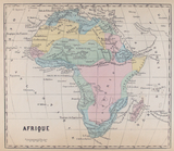
Afrique
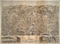
City of Taunton, Mass.
note:
Artist
is an unnamed employee of O.H
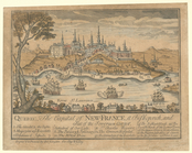
Quebec, the capital of New-Fr…
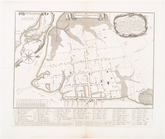
The ichnography of Charles-to…
m
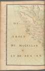
Detroit du Magellan et de ses…
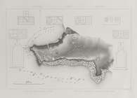
Land map of Cyprus in the por…
Planographic land map of the …
A sight-seers map of Manhatta…
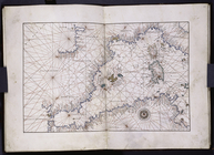
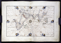
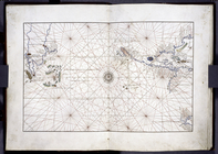
Portolan map with some featur…
Portolan map showing the West…
Portolan map showing the Cent…
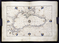
Portolan map of the Black Sea…
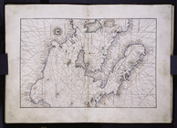
Map of Scandinavia, not in po…
Land map in the portolan styl…
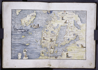
Portolan map of the Grecian A…
Old-fashioned map portraying …
Khersones. Plan goroda
Plan goroda Liublina.
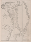
Orenburg Province (six of Hea…
m
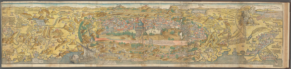
View of Jerusalem
Geology of the Genesee River
Portolan map showing the East…
Troitskoe ili Koblevka. Mestn…
Lusdorf. Plan kolonii i eia o…
Dnestr.Plan chasti imeniia gr…
Kartal. Plan drevniago posele…
Temriuk. Plan okrestnostei Su…
Mappa tsarstv Galitskago I Vl…
Map showing the distribution …
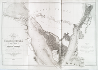
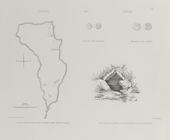
A map of Carolina, Florida an…
m
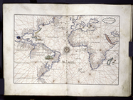
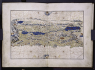
America and Europe, Atlantic …
Eastern section of three-part…
Land map of Palestine in the …
Odessa i Dofinovka. Plan goro…
Balaklava. Plan Genuzzskoi kr…
Dnepr. Plan drevniago poselen…
Ol'viia. Plan goroda Ol'vii
Ol'viia. Plan Akropolia i nar…
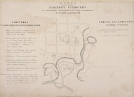
Plan chasti goroda Vladimira …
Plan chasti goroda Lutska s p…
Plan chasti goroda Ostroga s …
Plan chasti goroda Ovrucha s …
m
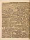
Urbis Romae prospectus 1593
Plan of the city and fortific…
Carte de l'Arabie Pétrée levé…
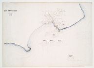
San Francisco September 1848
Western section of a three-pa…
Berezan'. Ostrov Berezan': ob…
Map to illustrate the sketche…