Click to visit the main New York Public Library Homepage
The New York Public Library
Digital Collections
About Digital Collections
Browse
Search only public domain materials
Items
Collections
Divisions
Home
Search
Browse
About
Search only public domain materials
Items
Collections
Divisions
Digital Collections
Using Images
Using Data
Search
Filtered keyword search
Show filters
Hide filters
Show Only Public Domain
topic
Nautical charts
25
Real property
19
Harbors
12
Maps
7
Insurance, Fire
5
More
Less
name
United States Coast Survey
17
Bache, A. D. (Alexander Dallas), 1806-1867
16
Thornton, Samuel
16
Ullitz, Hugo
9
Whiting, Henry L
8
More
Less
collection
Maps of North America
38
Atlases of New York City
28
Atlases, gazetteers, guidebooks and other books
21
Lawrence H. Slaughter Collection of English maps, charts, globes, books and atlases
8
Maps of New York City and State
8
More
Less
place
New York (State)
25
English Channel
21
New York
18
Brooklyn (New York, N.Y.)
14
New York (N.Y.)
11
More
Less
genre
Maps
112
Nautical charts
28
Bathymetric maps
5
Atlases
3
Cadastral maps
3
More
Less
publisher
E. Belcher Hyde
9
U.S. Coast Survey
9
William Perris
5
P. Goos
4
publisher not identified
4
More
Less
division
Map Division
111
Manuscripts and Archives Division
1
type
x
cartographic
still image
2
text
1
Date Range
to
112 results found for:
x
Channels
Filtering on:
x
Type
: cartographic
Sort by:
Relevance
Title
Date created
Date digitized
Sequence
… with the
channels
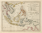
between India
The ancient
channel
system between San
topic:
Channels
(Hydraulic engineering)…
Map showing ancient
channel
system
topic:
Channels
(Hydraulic engineering)…
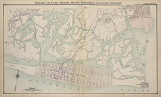
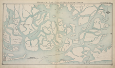
Estate of Long Beach, Bay's
Channels
Merrick Bay -
Channels
- Jones' Inlet
A chart of Delaware Bay and R…
note:
Shows various ship
channels
from the mouth
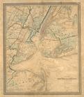
Map of New-York and its vicin…
note:
…
channels
into the Lower Bay
Map showing relative geograph…
abstract:
… and proposed
channels
Reconnaissance of the Pamunky…
abstract:
…. Includes note on
channels
.
Map of the mouth of St. Clair…
abstract:
…, and river
channels
. Includes
A topographical map of Hudson…
A chart of Delaware Bay and R…
note:
Shows ship
channels
.
A chart of Delaware Bay and R…
note:
Shows ship
channels
.
San Bernard River, Texas: sho…
topic:
Channels
(Hydraulic engineering)…
m
… the shoals,
channels
, islands
… : showing the
channels
Map of the various
channels
for conveying
A chart of Delaware Bay and R…
note:
Shows various ship
channels
from the mouth
A chart of Delaware Bay and R…
note:
Shows various ship
channels
from the mouth
Map of Presqu'ile Bay or Erie…
topic:
Channels
(Hydraulic engineering)…
An accurate map of the Distri…
New map of Charleston Harbor:…
abstract:
….
Channels
, water depths
Carte de la baye et riviere d…
abstract:
… ship
channels
from
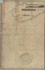
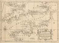
A chart of the English
Channel
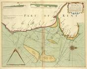
A new and correct draught of the
CHANNELL
m
H.M.S. Aeolus and H.M.S. Norw…
abstract:
… to the
Channel
Islands, the Isle
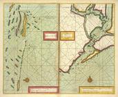
The coast of NORMANDIE from c…
Revised design for the improvement of the
channel
abstract:
…
channel
& sewers
Preliminary chart of Muskeget
Channel
note:
… to Muskeget
Channel
" at bottom
Muskeget
Channel
, Massachusetts
note:
… to Muskeget
Channel
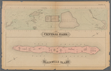
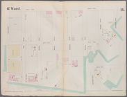
Plate 41:: [Central Park boun…
m
A chart of the discoveries of…
note:
… the Parry
Channel
.
… by The Raunt, Broad
Channel
m
Mercator projection exhibitin…
note:
…, Kennedy
Channel
, Baffin
m
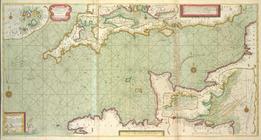
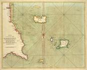
A chart of the British
Channel
The
channell
of ABBO or UTTOY; A chart
A Large Draught of the DOWNES
…
Channel
…, Buttermilk
Channel
…
Channel
…
Channel
, Clinton Wharf
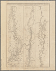
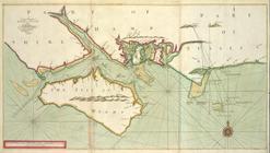
A large draught of the ISLE o…
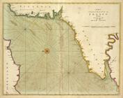
The sea-coasts of FRANCE from…
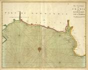
The sea-coast of FRANCE from …
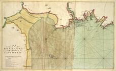
The coast of BRETAGNE from GR…
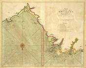
The coast of BRETAGNE from Pl…
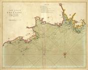
The coast of BRETAGNE from I …
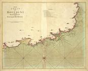
The coast of BRETAGNE from Pl…
The coast of BRETAGNE includi…
A chart of the sea coast from…