Click to visit the main New York Public Library Homepage
The New York Public Library
Digital Collections
About Digital Collections
Browse
Search only public domain materials
Items
Collections
Divisions
Home
Search
Browse
About
Search only public domain materials
Items
Collections
Divisions
Digital Collections
Using Images
Using Data
Search
Filtered search
Show filters
Hide filters
Show Only Public Domain
topic
Real property
10812
Fire insurance
5289
Cities & towns
5001
Administrative and political divisions
906
Railroads
784
More
Less
name
Sanborn Map Company
5093
G.W. Bromley & Co
2471
Bromley, George Washington
797
Bromley, Walter Scott
797
Austro-Hungarian Monarchy. Militärgeographisches Institut
773
More
Less
collection
Atlases of New York City
10577
Atlases of the United States
3749
Maps of North America
3345
Maps of New York City and State
2046
Lawrence H. Slaughter Collection of English maps, charts, globes, books and atlases
1101
More
Less
place
New York (State)
12155
New York
3979
New York (N.Y.)
2427
Manhattan (New York, N.Y.)
2373
Brooklyn (New York, N.Y.)
1166
More
Less
genre
Maps
24593
Atlases
3680
Topographic maps
1062
Surveys
1032
land surveys
849
More
Less
publisher
Sanborn Map Company
5129
G.W. Bromley & Co
2294
E. Belcher Hyde
780
K.u.K. Militargeographisches Institut
773
publisher not identified
452
More
Less
division
Map Division
22270
Manuscripts and Archives Division
1082
General Research Division
510
Rare Book Division
337
Schomburg Jean Blackwell Hutson Research and Reference Division
195
More
Less
type
x
cartographic
text
656
still image
329
three dimensional object
12
Date Range
to
24,955 results found
Filtering on:
x
Type
: cartographic
Sort by:
Title
Date created
Date digitized
Sequence
Results 22751 - 22800
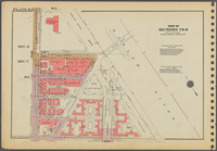
Plate 25: [Bounded by Clinton…
Plate 33: [Bounded by Barrow …
Plate 19: [Bounded by E. Hous…
Plate 39: Plan of Hudson Rive…
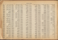
Street Index: [Water Street -…
Outline and Index Map of Volu…
Plate 3: [Bounded by Vesey St…
Plate 13: [Bounded by East Br…
Plate 5: [Bounded by Reade St…
Plate 1: [Bounded by Beaver S…
Street Index: [80th Street E.…
Outline and Index Map of Volu…
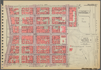
Plate 11: [Bounded by Grand S…
Plate 8: [Bounded by Franklin…
Plate 14: [Bounded by East Br…
Outline and Index Map of Volu…
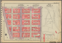
Plate 2: [Bounded by Carlisle…
Plate 6: [Bounded by Reade St…
Plate 9: [Bounded by N. Moore…
Outline and Index Map of Volu…
Plate 15: [Bounded by Stanton…
Outline and Index Map of Volu…
Plate 7: [Bounded by East Bro…
Street Index: [Haven Avenue -…
Plate 4: [Bounded by William …
Plate 12: [Bounded by Hester …
Plate 10: [Bounded by Watts S…
Street Index: [Abington Squar…
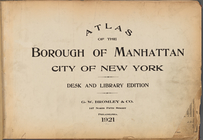
Atlas of the Borough of Manha…
Table for Corrections
Notice of Corrections and Sup…
Part of United States west of…
m
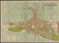
Plan général d'Alexandrie ave…
Paris à Tobolsk ... avec les …
Coupe de la route de Solikams…
Coupe de la route de Brest à …
Manhattan, first city in Amer…
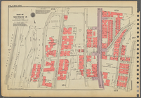
Plate 162, Part of Sections 7…
Plate 173, Part of Section 8:…
Plate 171, Part of Section 8:…
Plate 176, Part of Section 8:…
Plate 163, Part of Section 8:…
Plate 167, Part of Section 8:…
Plate 185, Part of Section 8:…
Plate 188, Part of Section 8:…
Plate 182, Part of Section 8:…
Plate 170, Part of Section 8:…
Plate 180, Part of Section 8:…
Plate 172, Part of Section 8:…
Plate 164, Part of Section 8:…
1
2
…
89
90
91
92
93
94
95
96
…
99
100
Previous
Next
1
2
…
89
90
91
92
93
94
95
96
…
99
100
Previous
Next