Click to visit the main New York Public Library Homepage
The New York Public Library
Digital Collections
About Digital Collections
Browse
Search only public domain materials
Items
Collections
Divisions
Home
Search
Browse
About
Search only public domain materials
Items
Collections
Divisions
Digital Collections
Using Images
Using Data
Search
Filtered search
Show filters
Hide filters
Show Only Public Domain
topic
Public figures
351
Dance
179
South Sea Bubble, Great Britain, 1720
170
Political satire
168
Voyages and travels
159
More
Less
name
Della Bella, Stefano, 1610-1664
190
Thornton, Samuel
182
Bruyn, Cornelis de, 1652-1727
142
Van Vechten, Carl, 1880-1964
132
Sturt, John, 1658-1730
106
More
Less
collection
Italian old master prints
378
Print Collection portrait file
351
Thomas Addis Emmet collection, [legacy collection]
219
Atlases, gazetteers, guidebooks and other books
183
Lawrence H. Slaughter Collection of English maps, charts, globes, books and atlases
174
More
Less
place
United States
317
New York (N.Y.)
148
Turkey
107
New York (State)
91
Maps
67
More
Less
genre
Prints
1862
Illustrations
502
Maps
472
Documents
447
Portraits
442
More
Less
publisher
R. en G. Wetstein, J. Oosterwyk, H. van de Gaete, boekverkopers
140
L. Cars
104
Printed by B. Motte, sold by J. Sturt
104
Lugduni Batavorum, apud P. van der Aa,
63
Wilhelm König
52
More
Less
division
Wallach Division: Print Collection
1154
Manuscripts and Archives Division
640
Jerome Robbins Dance Division
484
Map Division
419
Rare Book Division
394
More
Less
type
still image
3418
text
1749
cartographic
470
moving image
162
sound recording
81
More
Less
Date Range
to
5,237 results found
Filtering on:
x
Date
: 1690 - 1725
Sort by:
Title
Date created
Date digitized
Sequence
Results 4751 - 4800
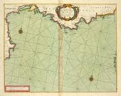
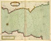
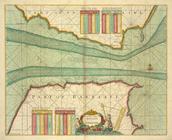
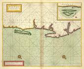
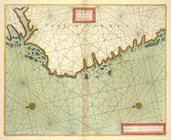
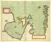
The sea coast of LANGUEDOC PR…
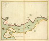
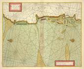
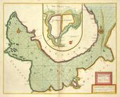
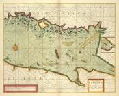
A large chart of PORT MAON on…
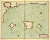
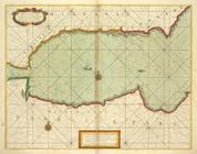
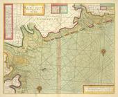
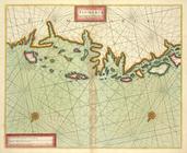
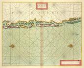
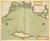
The sea coast of VALENCIA and…
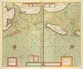
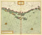
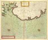
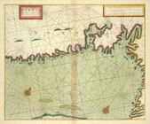
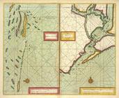
A chart of the sea coast of S…
A chart of the sea coast of S…
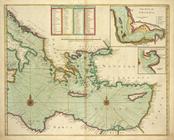
[Eastern Mediterranean Sea] ;…
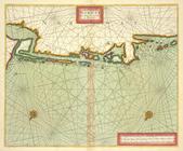
A new chart of the coast of t…
A chart of the STRAITS of GIB…
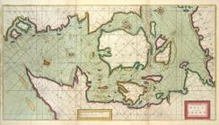
A chart of JUTLAND and the Is…
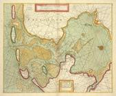
A chart of EEMS ELVE, Wefer, …
A chart of the Eems of Old We…
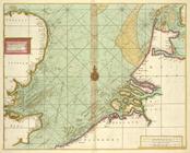
A chart of the SOUTH SEA Texe…
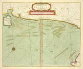
A description of the coast FL…
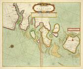
A chart of the Sea-Coast of Z…
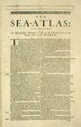
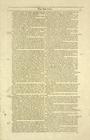
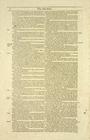
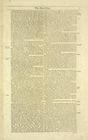
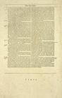
The Sea-Atlas.
The Sea-Atlas: Containing an …
The Sea-Atlas
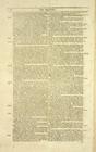
The Sea-Atlas, [page] 3
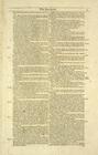
The Sea-Atlas, p. 4
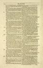
The Sea-Atlas, p. 5
The Sea-Atlas, p. 6
The Sea-Atlas.
The Sea-Atlas, p. 8
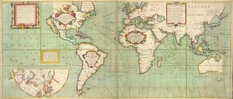
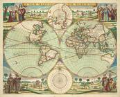
A new mapp of the world.
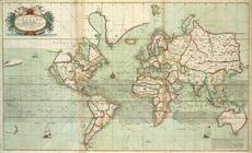
A new and correct Mapp of the…
m
No va & accuratissima totius …
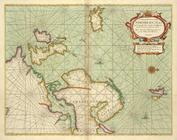
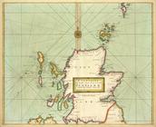
A Generall chart of the NORTH…
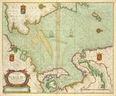
A chart of the WHITE SEA with…
the Island of Keduyn; the Riv…
The Coast of NORWAY and Lap L…
The Chart of FINMARCK from Sa…
The Chart of FINMARCK from Dr…
A chart of NORWAY from High L…
The coast of NORWAY from Berg…
The chart of the Leeth of BER…
The coast of NORWAY; between …
The coast of NORWAY from Naze…
A chart of the BELT and SOUND
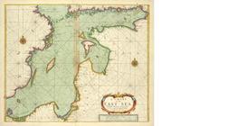
A chart of the EAST-SEA
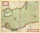
The coast of DENMARCK and Swe…
A chart of PRUSSIA and Coerla…
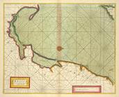
A chart of LYF LAND and East …
The coast of LYF LAND and Eas…
A chart of coast SWEDEN from …
The channell of ABBO or UTTOY…
A chart of the Seacoasts of E…
A chart of the NORTH SEA
A new and correct chart of th…
A new chart of the sea coast …
A large draught of the Isle o…
1
2
…
11
12
13
14
15
16
17
18
19
20
21
Previous
Next
1
2
…
11
12
13
14
15
16
17
18
19
20
21
Previous
Next