Click to visit the main New York Public Library Homepage
The New York Public Library
Digital Collections
About Digital Collections
Browse
Search only public domain materials
Items
Collections
Divisions
Home
Search
Browse
About
Search only public domain materials
Items
Collections
Divisions
Digital Collections
Using Images
Using Data
Search
Keyword search
Show filters
Hide filters
Show Only Public Domain
topic
Real property
262
Fire insurance
105
Insurance, Fire
38
Maps
38
Musicals
21
More
Less
name
Perris, William
311
O'Connor, William Douglas, 1832-1889
162
Whitman, Walt, 1819-1892
145
Perris & Browne
142
Swope, Martha
22
More
Less
collection
Atlases of New York City
315
Walt Whitman papers, 1854-1892
164
Martha Swope photographs
22
Friedman-Abeles photographs: [legacy collection]
16
Wallach Division Picture Collection
10
More
Less
place
New York
275
New York (State)
275
Manhattan (New York, N.Y.)
260
Brooklyn (New York, N.Y.)
52
United States
7
More
Less
genre
Maps
318
Correspondence
169
Photographs
44
Title pages
17
Filmed dance
15
More
Less
publisher
William Perris
143
Perris & Browne
124
Lith. by Korff Brothers
23
William Perris, Civil Engineer
23
Perris & Browne
13
More
Less
division
Map Division
190
Berg Collection
166
Billy Rose Theatre Division
39
Jerome Robbins Dance Division
15
Wallach Division: Print Collection
9
More
Less
type
cartographic
317
text
187
still image
65
moving image
15
sound recording
1
Date Range
to
571 results found for:
Perris, William
Sort by:
Relevance
Title
Date created
Date digitized
Sequence
Results 251 - 300
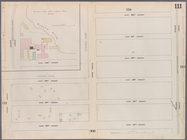
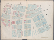
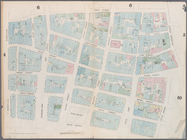
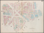
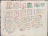
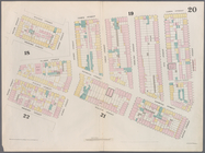
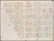
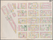
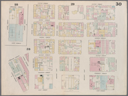
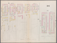
Map bounded by East 62nd Stre…
Map bounded by West 59th Stre…
Map bounded by West 62nd Stre…
Map bounded by West 64th Stre…
Map bounded by West 72nd Stre…
Map bounded by West 67th Stre…
Map bounded by West 72nd Stre…
Map bounded by East 67th Stre…
Map bounded by East 67th Stre…
Map bounded by East 72nd Stre…
Map bounded by East 72nd Stre…
Map bounded by East 72nd Stre…
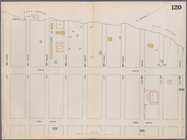
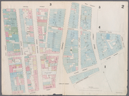
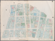
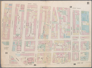
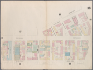
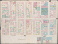
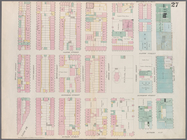
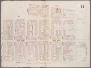
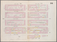
Map bounded by Battery Place,…
…,
William
Street, Beaver
Map bounded by Dey Street, Br…
…, Old Slip,
William
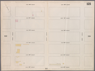
Map bounded by Frankfort Stre…
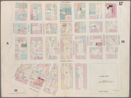
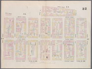
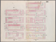
Map bounded by City Hall Squa…
Map bounded by Murray Street,…
Map bounded by Duane Street, …
Map bounded by Pearl Street, …
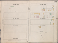
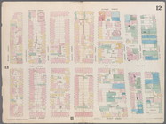
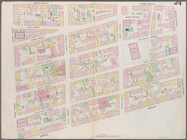
Map bounded by Chatham Street…
Map bounded by Chatham Square…
Map bounded by Division Stree…
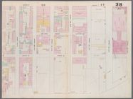
Map bounded by Canal Street, …
Map bounded by Canal Street, …
Map bounded by Canal Street, …
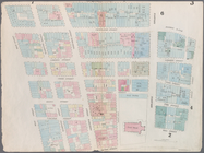
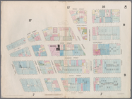
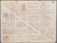
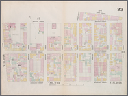
Map bounded by Laight Street,…
Map bounded by Laight Street,…
Map bounded by Spring Street,…
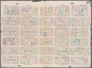
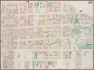
Map bounded by Hamersley Stre…
Map bounded by Hamersley Stre…
Map bounded by Houston Street…
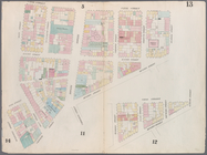
Map bounded by Spring Street,…
Map bounded by Broome Street,…
Map bounded by Houston Street…
Map bounded by Rivington Stre…
Map bounded by Rivington Stre…
Map bounded by Division Stree…
Map bounded by Henry Street, …
Map bounded by Rivington Stre…
Map bounded by Rivington Stre…
Map bounded by Houston Street…
Map bounded by Houston Street…
Map bounded by Houston Street…
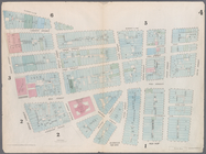
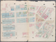
Map bounded by 8th Street, Ea…
Map bounded by 6th Street, Av…
Map bounded by 5th Street, Av…
Map bounded by 5th Street, Fi…
Map bounded by East 15th Stre…
1
2
3
Previous
Next
1
2
3
Previous
Next