Click to visit the main New York Public Library Homepage
The New York Public Library
Digital Collections
About Digital Collections
Browse
Search only public domain materials
Items
Collections
Divisions
Home
Search
Browse
About
Search only public domain materials
Items
Collections
Divisions
Digital Collections
Using Images
Using Data
Search
Keyword search
Show filters
Hide filters
Show Only Public Domain
topic
Real property
11050
Fire insurance
5305
Cities & towns
5016
City planning
1101
Social conditions
946
More
Less
name
Sanborn Map Company
5108
G.W. Bromley & Co
2551
New York (N.Y.). City Planning Commission
980
M.I.T. Press
942
Bromley, George Washington
857
More
Less
collection
Atlases of New York City
11722
Atlases of the United States
3868
Maps of North America
3345
Maps of New York City and State
2059
Lawrence H. Slaughter Collection of English maps, charts, globes, books and atlases
1252
More
Less
place
New York (State)
14041
New York
5623
New York (N.Y.)
3512
Manhattan (New York, N.Y.)
2386
Brooklyn (New York, N.Y.)
1222
More
Less
genre
Maps
25787
Atlases
3791
Prints
1428
Topographic maps
1062
Surveys
1034
More
Less
publisher
Sanborn Map Company
5145
G.W. Bromley & Co
2371
MIT Press
942
E. Belcher Hyde
807
K.u.K. Militargeographisches Institut
774
More
Less
division
Map Division
23798
Manuscripts and Archives Division
1281
Wallach Division: Print Collection
746
Rare Book Division
518
Dorot Jewish Division
477
More
Less
type
cartographic
24808
still image
3785
text
2063
notated music
10
sound recording
3
More
Less
Date Range
to
Looking for one of these collections?
Atlases of New York City
11,722 items
Atlases of the United States
3,868 items
Maps of North America
3,345 items
Maps of New York City and State
2,059 items
Lawrence H. Slaughter Collection of English maps, charts, globes, books and atlases
1,252 items
Bancker plans
1,080 items
28,779 results found for:
maps
Sort by:
Relevance
Title
Date created
Date digitized
Sequence
Results 25751 - 25800
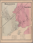
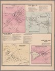
Plate 43: Mamaroneck, Westche…
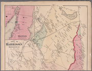
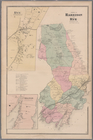
Plate 29: Towns of Harrison a…
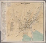
Plate 47: Port Chester, Westc…
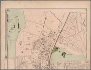
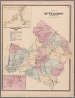
Plate 48: Town of Mt. Pleasan…
Plate 50: Ossining, Westchest…
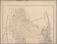
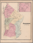
Plate 52: Sing Sing, Town of …
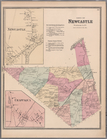
Plate 53: Town of Newcastle, …
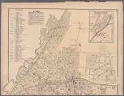
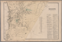
Plate 54: Mount Kisco - Bedfo…
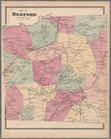
Plate 55: Town of Bedford, We…
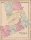
Plate 56: Town of Poundridge,…
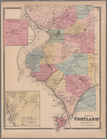
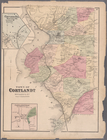
Plate 58: Town of Cortlandt, …
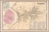
Plate 60: Peekskill, Westches…
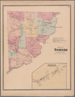
Plate 62: Town of Somers, Wes…
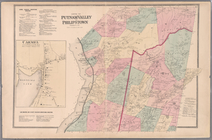
Plate 65: Towns of Putnam Val…
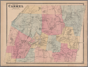
Plate 68: Town of Carmel, Put…
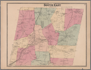
Plate 69: Town of South East,…
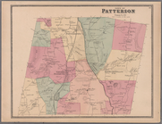
Plate 71: Town of Patterson, …
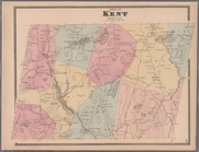
Plate 72: Town of Kent, Putna…
m
Plates 17 & 18: Fordham, Town…
m
Plates 19 & 20: West Farms, W…
m
Plates 30 & 31: Mount Vernon,…
m
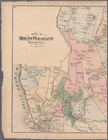
Plates 40 & 41: Town of Mount…
Plate 47: Town of Cortlandt, …
m
Plates 61 & 62: Town of Harri…
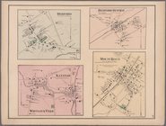
Plate 77: Bedford. - Bedford …
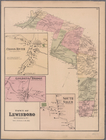
Plate 79: Town of Lewisboro, …
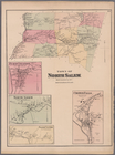
Plate 80: Town of North Salem…
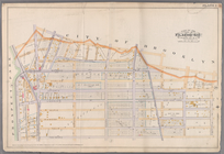
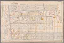
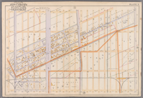
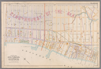
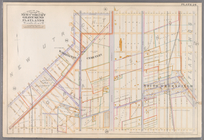
Plate 1: [Bounded by Montgome…
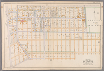
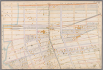
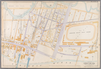
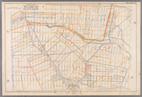
Plate 2: [Bounded by Fenimore…
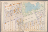
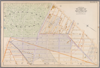
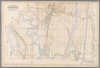
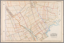
Plate 3: [Bounded by Grant St…
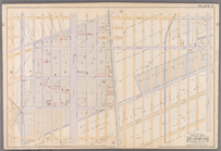
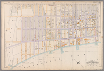
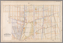
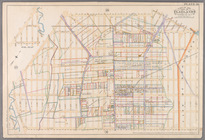
Plate 4:[Bounded by Terrace P…
Plate 5: [Bounded by Avenue A…
Plate 6: [Bounded by Avenue E…
Plate 7: [Bounded by 60th Str…
Plate 13: [Bounded by West St…
Plate 17: [Bounded by 86th St…
Plate 18:[Bounded by 86th Str…
Plate 21: [Bounded by Canal A…
Plate 22: [Bounded by Avenue …
Plate23: [Bounded by Avenue P…
Plate 24: [Bounded by Avenue …
Plate 25: Bounded by Avenue C…
Plate 26: [Bounded by Avenue …
Plate 30: [Bounded by Ditmas …
Plate 4: [Bounded by Pomeroy …
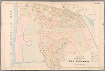
Plate 9: [Bounded by Lawrence…
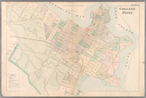
Plate 10: [Bounded by Interse…
Plate 11: [Bounded by Bay Ave…
Plate 12: [Bounded by Central…
Plate 22: [Bounded by Tenth S…
1
2
…
101
102
103
104
105
106
107
108
…
115
116
Previous
Next
1
2
…
101
102
103
104
105
106
107
108
…
115
116
Previous
Next