Click to visit the main New York Public Library Homepage
The New York Public Library
Digital Collections
About Digital Collections
Browse
Search only public domain materials
Items
Collections
Divisions
Home
Search
Browse
About
Search only public domain materials
Items
Collections
Divisions
Digital Collections
Using Images
Using Data
Collections
Charting America: Maps from the Lawrence H. Slaughter Collection and Others
Charting America: Maps from the Lawrence H. Slaughter Collection and Others
Navigation
Filters
Charting America: Maps from the Lawrence H. Slaughter Collection and Others
Previous
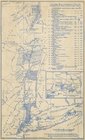
The south part of Virginia, now the north part of Carolina
0
Atlases, gazetteers, guidebooks and other books
377
Maps of the World
16
Maps of the Oceans
24
Maps of North and South America
23
Maps of North America.
551
Maps of New York City and State
1340
Lawrence H. Slaughter Collection of English maps, charts, globes, books and atlases
1020
John H. Levine Collection
60
More
Show filters
Hide filters
Show Only Public Domain
topic
History
149
Road maps
53
Nautical charts
50
Geography
46
Indians of North America
27
More
Less
name
Montanus, Arnoldus, 1625?-1683
118
Ogilby, John, 1600-1676
116
Colles, Christopher, 1738-1816
54
Tiebout, Cornelius, 1777-1832
54
Morse, Jedidiah, 1761-1826
30
More
Less
collection
Lawrence H. Slaughter Collection of English maps, charts, globes, books and atlases
538
Maps of New York City and State
84
John H. Levine Collection
47
Maps of North and South America
40
Atlases, gazetteers, guidebooks and other books
20
More
Less
place
America
220
North America
139
United States
117
West Indies, British
116
Middle Atlantic States
65
More
Less
genre
Maps
735
Early maps
9
Facsimiles
7
Early works to 1800
5
Nautical charts
5
More
Less
publisher
Printed by the author, and are to be had at his house
116
Printed for J. Stockdale
26
s.n
18
Museum of the American Indian, Heye Foundation
12
Presso Antonio Zatta
12
More
Less
division
Map Division
739
type
cartographic
637
still image
102
text
13
Date Range
to
741 results found for:
America?tab=filter
Sort by:
Relevance
Title
Date created
Date digitized
Sequence
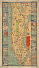
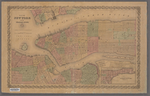
Manhattan, first city in
America
Patroonships, manors and seig…
m
Military map of Cuba
collection:
Maps of North
America
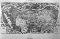
Universalis cosmographia secu…
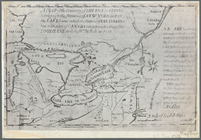
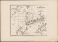
Transportation routes between…
note:
… in South
America
" (scale
Hydrographic map of the Ocono…
collection:
Maps of North
America
A map of the countrey of the …
abstract:
…
America
, from the eastern
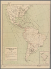
Trade of the United States wi…
note:
Shows North and South
America
.
Map of historic Niagara: show…
Map of Niagara Falls, suspens…
New York to New Rochelle: fro…
note:
… States of
America
m
Post route map of the State o…
note:
… of
America
].
m
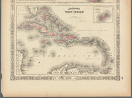
Johnson's West Indies, Plate …
collection:
… of the Civil War in
America
m
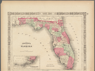
Johnson's Florida, Plate 43
collection:
… of the Civil War in
America
Map of North
America
. Showing its
… of the United States of
America
.
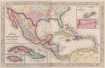
Map of Mexico, Central
America
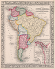
Map of South
America
, showing its
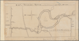
Map of Niagara River or the s…
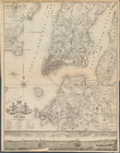
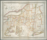
Map of New York, New England,…
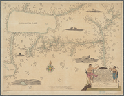
A chart of the coast of
America
: from
Map of New York and the adjac…
note:
… of
America
, and Colton
…
America
. Surveyed
Map of New Netherland: accord…
topic:
Indians of North
America
m
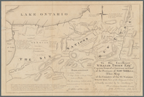
To his excellency William Try…
topic:
Indians of North
America
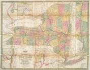
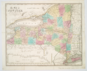
Map of the state of New York …
note:
Phillips. Maps of
America
, p. 513
…
America
…
America
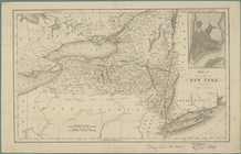
Map of the state of New York …
note:
Phillips. Maps of
America
, p. 513
m
Map of New-York Bay and Harbo…
note:
Phillips. Maps of
America
, p. 543
Carte de l'Amerique
note:
Shows North American, South
America
World on gnomonic projection …
America
Karte von Amerika: zum gebrau…
note:
… of the
Americas
.
Map of New Netherland
topic:
Indians of North
America
Ticonderoga and its dependenc…
note:
… and critical history of
america
Map of New Netherland which w…
topic:
Indians of North
America
Map of Niagara Falls, and gui…
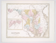
Maryland
note:
Phillips. Maps of
America
, p. 396
Map of the River Niagara and …
topic:
Indians of North
America
New-York
note:
Phillips. Maps of
America
, p. 511
Survey for a ship canal aroun…
m
An improved map of the Hudson…
note:
Variant of Phillips. Maps of
America
, 325
A mappe of Colonel Römers voy…
topic:
Indians of North
America
A mappe of Colonel Römers voy…
topic:
Indians of North
America
The state of New York from th…
note:
Phillips. Maps of
America
, p. 511
A chart of the bar of Sandy H…
note:
LC Maps of North
America
, 1750-1789, 1293
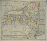
Map of the state of New York …
note:
Phillips. Maps of
America
, p. 510
The tourist's map of the stat…
note:
Phillips. Maps of
America
, p. 511
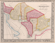
District Columbia.
note:
From C.F. Weiland's [Atlas von
America
].
1
2
3
Previous
Next
1
2
3
Previous
Next