Click to visit the main New York Public Library Homepage
The New York Public Library
Digital Collections
About Digital Collections
Browse
Search only public domain materials
Items
Collections
Divisions
Home
Search
Browse
About
Search only public domain materials
Items
Collections
Divisions
Digital Collections
Using Images
Using Data
Collections
Charting America: Maps from the Lawrence H. Slaughter Collection and Others
Charting America: Maps from the Lawrence H. Slaughter Collection and Others
Navigation
Filters
Charting America: Maps from the Lawrence H. Slaughter Collection and Others
Previous
The south part of Virginia, now the north part of Carolina
0
Atlases, gazetteers, guidebooks and other books
377
Maps of the World
16
Maps of the Oceans
24
Maps of North and South America
23
Maps of North America.
551
Maps of New York City and State
1340
Lawrence H. Slaughter Collection of English maps, charts, globes, books and atlases
1020
John H. Levine Collection
60
More
Show filters
Hide filters
Show Only Public Domain
topic
Atlases, British
144
History
122
Geography
78
Maps in education
43
Geography, Ancient
42
More
Less
name
Montanus, Arnoldus, 1625?-1683
116
Ogilby, John, 1600-1676
116
Sayer, Robert, 1725-1794
77
Dunn, Samuel, d. 1794
76
Sheldonian Theatre
41
More
Less
collection
Lawrence H. Slaughter Collection of English maps, charts, globes, books and atlases
218
Atlases, gazetteers, guidebooks and other books
80
place
America
125
West Indies, British
116
Maps
64
England
44
North America
15
More
Less
genre
Maps
264
preliminaries
24
Charts
4
Prints
2
Tables (Data)
2
More
Less
publisher
Printed by the author, and are to be had at his house
116
Printed for Robert Sayer, No. 53, Fleet-Street
76
Printed at the Theater,
41
Printed by A. Godbid and J. Playford, for John Seller ...,
7
Printed for Robert Morden and Thomas Cockeril, at the Atlas in Cornhill, and at the Three Legs in the Poultrey, over against the Stocks-Market
6
More
Less
division
Map Division
297
type
cartographic
161
still image
105
text
36
Date Range
to
298 results found for:
Atlases, British?tab=filter
Sort by:
Relevance
Title
Date created
Date digitized
Sequence
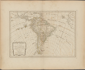
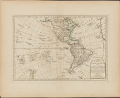
South America as divided amon…
topic:
Atlases
,
British
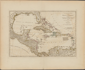
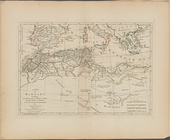
A compleat map of the West In…
topic:
Atlases
,
British
… America with the
British
topic:
Atlases
,
British
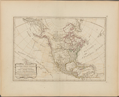
North America, with the West …
topic:
Atlases
,
British
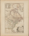
America North and South and t…
topic:
Atlases
,
British
A map of Barbary, containing …
topic:
Atlases
,
British
A map of Abyssinia and Nubia
topic:
Atlases
,
British
Ancient and modern Egypt
topic:
Atlases
,
British
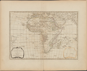
Africa and its several regions
topic:
Atlases
,
British
A map of the countries and pl…
topic:
Atlases
,
British
Part IId. of the compleat map…
topic:
Atlases
,
British
A compleat map of the Holy La…
topic:
Atlases
,
British
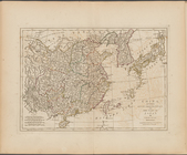
A map of Chinese Tartary, wit…
topic:
Atlases
,
British
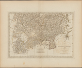
China, divided into its great…
topic:
Atlases
,
British
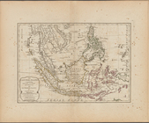
The East India Islands, compr…
topic:
Atlases
,
British
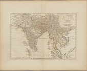
A complete map of the East In…
topic:
Atlases
,
British
A map of independent Tartary,…
topic:
Atlases
,
British
Persia, divided into its grea…
topic:
Atlases
,
British
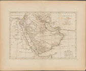
Arabia, according to its mode…
topic:
Atlases
,
British
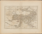
A map of Turkey in Asia, cont…
topic:
Atlases
,
British
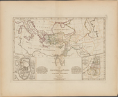
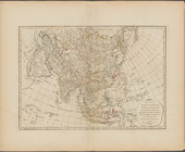
Asia, divided into its princi…
topic:
Atlases
,
British
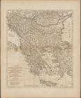
Second part of Turkey in Euro…
topic:
Atlases
,
British
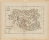
First part of Turkey in Europ…
topic:
Atlases
,
British
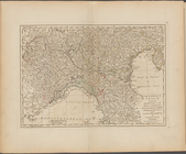
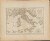
The North part of Italy ...
topic:
Atlases
,
British
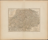
Italy, divided into its state…
topic:
Atlases
,
British
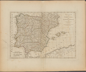
Spain and Portugal, with thei…
topic:
Atlases
,
British
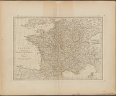
France, divided into military…
topic:
Atlases
,
British
Switzerland divided into thir…
topic:
Atlases
,
British
The Empire of Germany divided…
topic:
Atlases
,
British
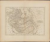
Hungary, and Transylvania; wi…
topic:
Atlases
,
British
A new map of the Kingdom of P…
topic:
Atlases
,
British
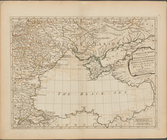
Russia, divided into its gove…
topic:
Atlases
,
British
The Northern States, comprehe…
topic:
Atlases
,
British
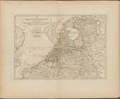
The Seven United Provinces co…
topic:
Atlases
,
British
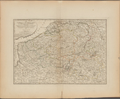
The Catholic Netherlands, or …
topic:
Atlases
,
British
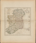
Ireland, divided into its fou…
topic:
Atlases
,
British
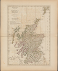
Scotland, and its islands ; o…
topic:
Atlases
,
British
A new and compendious map of …
topic:
Atlases
,
British
The
British
Isles, comprehending Great Britain
topic:
Atlases
,
British
Europe divided into its princ…
topic:
Atlases
,
British
A new chart of the world on M…
topic:
Atlases
,
British
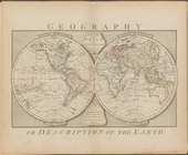
Geography, or description of …
topic:
Atlases
,
British
Geography, &c. [p. 4]
topic:
Atlases
,
British
Geography, &c. [p. 3]
topic:
Atlases
,
British
Geography, &c. [p. 2]
topic:
Atlases
,
British
Geography
topic:
Atlases
,
British
A map exhibiting the dark sha…
topic:
Atlases
,
British
The Solar System
topic:
Atlases
,
British
An analemma, shewing by inspe…
topic:
Atlases
,
British
The principal fixed stars of …
topic:
Atlases
,
British
1
2
Previous
Next
1
2
Previous
Next