Click to visit the main New York Public Library Homepage
The New York Public Library
Digital Collections
About Digital Collections
Browse
Search only public domain materials
Items
Collections
Divisions
Home
Search
Browse
About
Search only public domain materials
Items
Collections
Divisions
Digital Collections
Using Images
Using Data
Collections
Charting America: Maps from the Lawrence H. Slaughter Collection and Others
Charting America: Maps from the Lawrence H. Slaughter Collection and Others
Navigation
Filters
Charting America: Maps from the Lawrence H. Slaughter Collection and Others
Previous
The south part of Virginia, now the north part of Carolina
0
Atlases, gazetteers, guidebooks and other books
377
Maps of the World
16
Maps of the Oceans
24
Maps of North and South America
23
Maps of North America.
551
Maps of New York City and State
1340
Lawrence H. Slaughter Collection of English maps, charts, globes, books and atlases
1020
John H. Levine Collection
60
More
Show filters
Hide filters
Show Only Public Domain
topic
x
World maps
Religions
3
Magnetic declination
2
Atmospheric temperature
1
Cartography
1
More
Less
name
Burr, David H., 1803-1875
2
Woodbridge, William C. (William Channing), 1794-1845
2
Bassett, Thomas
1
Blaeu, Willem Janszoon, 1571-1638
1
Blome, Richard, -1705
1
More
Less
collection
Maps of the World
11
Lawrence H. Slaughter Collection of English maps, charts, globes, books and atlases
3
Atlases, gazetteers, guidebooks and other books
2
John H. Levine Collection
1
place
x
Maps
Early works to 1800
2
Eastern Hemisphere
2
Western Hemisphere
2
America
1
More
Less
genre
Maps
17
Nautical charts
1
publisher
William C. Woodbridge
2
Are to be sold by Tho. Bassett in Fleet Street and Ric. Chiswell in St. Pauls Church yard,
1
Chez Pierre Mortier
1
Chez l'auteur, rue du Sentier, pres [du] Boulevard ..
1
Printed for R. Baldwin],
1
More
Less
division
Map Division
17
type
cartographic
17
Date Range
to
17 results found for:
x
World maps?tab=filter
Filtering on:
x
Place
: Maps
x
Topic
: World maps
Sort by:
Relevance
Title
Date created
Date digitized
Sequence
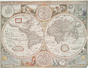
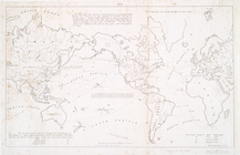
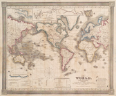
A chart of the
world
: exhibiting
note:
… to Early
Maps
of the Middle
A
map
of the
world
from the best
note:
… to Early
Maps
of the Middle
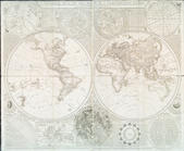
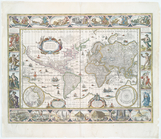
A new and accurat
map
of the
world
note:
Shirley, R.W.
Mapping
of the
World
, 317
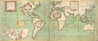
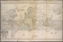
Carte generale de la terre : …
note:
… to Early
Maps
of the Middle
Chart of the
world
on Mercators projection
note:
… to Early
Maps
of the Middle
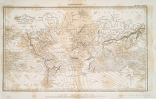
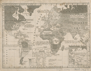
Isothermal chart, or, View of…
note:
Covers most of the
world
; does not cover
…
world
: exhibiting
note:
… to Early
Maps
of the Middle
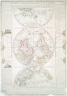
No. 1: [This
map
shows the position
note:
… to Early
Maps
of the Middle
The
world
, on Mercator's projection
note:
… to Early
Maps
of the Middle
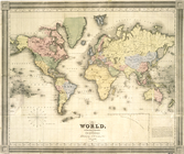
A general
map
of the
world
, or terraqueous
note:
… to Early
Maps
of the Middle
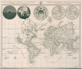
The
world
, on Mercator's projection
image:
ps_
map
_205
Nova totius terrarum orbis ge…
note:
… to Early
Maps
of the Middle
A new
map
of the
world
according
note:
… to Early
Maps
of the Middle
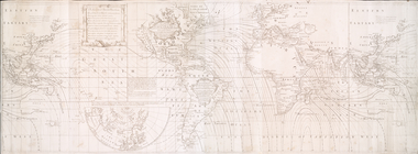
Accuratissima totius terrarum…
note:
… to Early
Maps
of the Middle
m
No va & accuratissima totius …
topic:
World
maps
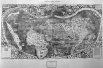
Universalis cosmographia secu…
image:
ps_
map
_cd1_11
Carte generale du monde, ou, …
note:
Shirley, R.W.
Mapping
of the
world
, 622
End of results
|
Top