Click to visit the main New York Public Library Homepage
The New York Public Library
Digital Collections
About Digital Collections
Browse
Search only public domain materials
Items
Collections
Divisions
Home
Search
Browse
About
Search only public domain materials
Items
Collections
Divisions
Digital Collections
Using Images
Using Data
Collections
Charting America: Maps from the Lawrence H. Slaughter Collection and Others
Charting America: Maps from the Lawrence H. Slaughter Collection and Others
Navigation
Filters
Charting America: Maps from the Lawrence H. Slaughter Collection and Others
Previous
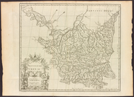
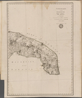
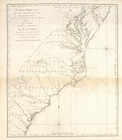
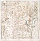
The south part of Virginia, now the north part of Carolina
0
Atlases, gazetteers, guidebooks and other books
377
Maps of the World
16
Maps of the Oceans
24
Maps of North and South America
23
Maps of North America.
551
Maps of New York City and State
1340
Lawrence H. Slaughter Collection of English maps, charts, globes, books and atlases
1020
John H. Levine Collection
60
More
Show filters
Hide filters
Show Only Public Domain
topic
Geography
450
Atlases
173
Atlases, British
106
Maps in education
96
Nautical charts
72
More
Less
name
Thornton, Samuel
174
Ortelius, Abraham, 1527-1598
124
Coignet, Michel, 1549-1623
123
Shawe, James
123
Society for the Diffusion of Useful Knowledge (Great Britain)
109
More
Less
collection
Lawrence H. Slaughter Collection of English maps, charts, globes, books and atlases
1101
Atlases, gazetteers, guidebooks and other books
458
Maps of New York City and State
1
place
Great Britain
231
United States
145
North America
113
Maps
108
England
102
More
Less
genre
Maps
1559
Nautical charts
175
Atlases
3
Illustrations
2
Facsimiles
1
More
Less
publisher
Printed for Ieames Shawe, and are to be solde at his shoppe nigh Ludgate,
123
Chapman and Hall
109
M. Carey
58
Published by Wm. Faden, geographer to His Majesty, and His R.H. the Prince of Wales
53
Printed by A. Godbid and J. Playford, for R. Scott, bookseller
52
More
Less
division
Map Division
1560
type
x
cartographic
text
46
still image
3
Date Range
to
1,560 results found for:
x
Atlases
Filtering on:
x
Type
: cartographic
Sort by:
Relevance
Title
Date created
Date digitized
Sequence
Results 501 - 550
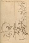
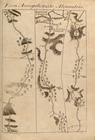
From Annapolis (62) to Bladen…
collection:
Atlases
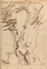
From Annapolis (63) to Bladen…
collection:
Atlases
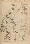
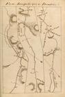
From Annapolis (64) to Alexan…
collection:
Atlases
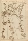
From Annapolis (65) to Alexan…
collection:
Atlases
From Annapolis (64) to Dumfri…
collection:
Atlases
From Annapolis (67) to Freder…
collection:
Atlases
Generalkarte von dem Koenigre…
collection:
Atlases
, gazetteers, guidebooks and other books
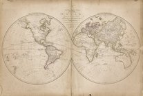
Map of the world drawn and en…
collection:
Atlases
, gazetteers, guidebooks and other books
The marches of Lord Cornwalli…
collection:
…, globes, books and
atlases
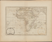
Africa and its several regions
topic:
Atlases
, British
Carte réduite du Nord des Eta…
collection:
Atlases
Carte réduite du Sud des État…
collection:
Atlases
Carte d'une partie de l'Améri…
collection:
Atlases
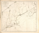
Côte de York-town à Boston : …
collection:
Atlases
Plan d'York en Virginie, avec…
collection:
Atlases
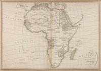
A Map of Africa drawn & engra…
collection:
Atlases
, gazetteers, guidebooks and other books
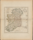
Ireland, divided into its fou…
topic:
Atlases
, British
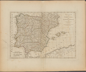
Spain and Portugal, with thei…
topic:
Atlases
, British
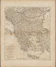
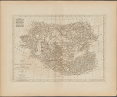
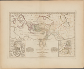
Second part of Turkey in Euro…
topic:
Atlases
, British
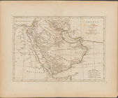
Arabia, according to its mode…
topic:
Atlases
, British
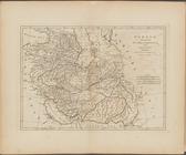
Persia, divided into its grea…
topic:
Atlases
, British
A map of independent Tartary,…
topic:
Atlases
, British
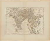
A complete map of the East In…
topic:
Atlases
, British
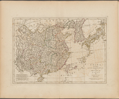
China, divided into its great…
topic:
Atlases
, British
A map of Chinese Tartary, wit…
topic:
Atlases
, British
A compleat map of the Holy La…
topic:
Atlases
, British
Part IId. of the compleat map…
topic:
Atlases
, British
A map of the countries and pl…
topic:
Atlases
, British
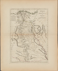
Ancient and modern Egypt
topic:
Atlases
, British
A map of Abyssinia and Nubia
topic:
Atlases
, British
Annual passage of the herring…
collection:
…, globes, books and
atlases
Guyane, Terra ferme, Isles an…
collection:
…, globes, books and
atlases
Mappe-monde : dressee pour l'…
collection:
…, globes, books and
atlases
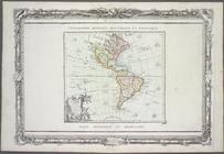
L'Amérique : dressée pour l'é…
collection:
…, globes, books and
atlases
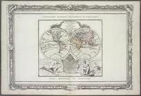
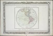
Hémisphère occidental.
collection:
…, globes, books and
atlases
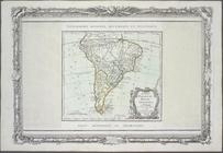
Chili, Paraguay, Bresil, Amaz…
collection:
…, globes, books and
atlases
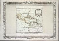
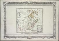
Nouveau Mexique, Louisiane, C…
collection:
…, globes, books and
atlases
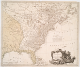
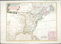
The United States of North Am…
collection:
…, globes, books and
atlases
Die vereinigten Staaten von N…
collection:
Atlases
A map of the country between …
collection:
Atlases
Ètats-Unis de l'Amérique sept…
collection:
…, globes, books and
atlases
m
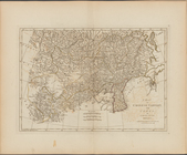
Province de Chen-si, no. 16
collection:
Atlases
, gazetteers, guidebooks and other books
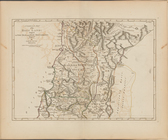
m
Province de Chen-si, no. 16
collection:
Atlases
, gazetteers, guidebooks and other books
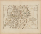
Bowles's new pocket map of th…
collection:
…, globes, books and
atlases
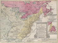
A chart of New York Harbour :…
collection:
…, globes, books and
atlases
A new and correct map of Nort…
collection:
…, globes, books and
atlases
A new and correct map of Nort…
collection:
…, globes, books and
atlases
A new map of North America wi…
collection:
…, globes, books and
atlases
Map of the United States in N…
collection:
…, globes, books and
atlases
A general map of North Americ…
collection:
Atlases
1
2
3
4
5
6
7
Previous
Next
1
2
3
4
5
6
7
Previous
Next