Click to visit the main New York Public Library Homepage
The New York Public Library
Digital Collections
About Digital Collections
Browse
Search only public domain materials
Items
Collections
Divisions
Home
Search
Browse
About
Search only public domain materials
Items
Collections
Divisions
Digital Collections
Using Images
Using Data
Collections
Charting America: Maps from the Lawrence H. Slaughter Collection and Others
Charting America: Maps from the Lawrence H. Slaughter Collection and Others
Navigation
Filters
Charting America: Maps from the Lawrence H. Slaughter Collection and Others
Previous
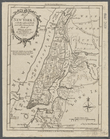
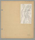
The south part of Virginia, now the north part of Carolina
0
Atlases, gazetteers, guidebooks and other books
377
Maps of the World
16
Maps of the Oceans
24
Maps of North and South America
23
Maps of North America.
551
Maps of New York City and State
1340
Lawrence H. Slaughter Collection of English maps, charts, globes, books and atlases
1020
John H. Levine Collection
60
More
Show filters
Hide filters
Show Only Public Domain
topic
Administrative and political divisions
340
Railroads
316
Real property
301
Landowners
215
Geography
157
More
Less
name
New York (N.Y.). Common Council
99
Moll, Herman, -1732
81
Sayer, Robert, 1725-1794
80
Dunn, Samuel, d. 1794
76
Colles, Christopher, 1738-1816
54
More
Less
collection
Maps of New York City and State
2004
Lawrence H. Slaughter Collection of English maps, charts, globes, books and atlases
382
Atlases, gazetteers, guidebooks and other books
124
John H. Levine Collection
28
Maps of North and South America
8
More
Less
place
New York (State)
1295
New York (N.Y.)
628
New York
524
Manhattan (New York, N.Y.)
341
Brooklyn (New York, N.Y.)
266
More
Less
genre
Maps
2488
Cadastral maps
183
Manuscript maps
71
Aerial views
30
Topographic maps
29
More
Less
publisher
publisher not identified
118
Printed for Robert Sayer, No. 53, Fleet-Street
76
Printed for Timothy Childe at the White Hart at the West-end of St. Paul's Church-yard
46
s.n
41
S. A. Mitchell, jr
34
More
Less
division
Map Division
2552
Manuscripts and Archives Division
2
type
cartographic
2478
text
83
still image
36
Date Range
to
2,554 results found for:
New York (State)?tab=filter
Sort by:
Relevance
Title
Date created
Date digitized
Sequence
Results 1501 - 1550
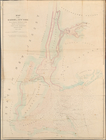
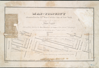
Map of the Harbor of
New
York
to accompany
use:
… partner (e.g.,
New
York
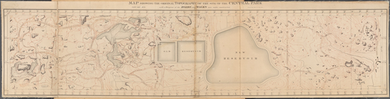
Map Showing the Original Topo…
use:
… partner (e.g.,
New
York
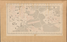
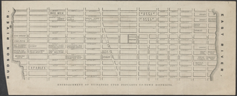
Map of Drainage System on Low…
use:
… partner (e.g.,
New
York
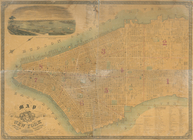
m
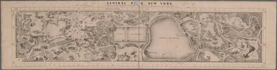
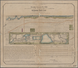
Central Park
use:
… partner (e.g.,
New
York
Central Park,
New
York
- A picturesque
use:
… partner (e.g.,
New
York
64 Central Park Lots,
New
York
City.
use:
… partner (e.g.,
New
York
City & county map of
New
-
York
, Brooklyn
use:
… partner (e.g.,
New
York
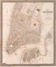
City of
New
Manhattan : proposed May
use:
… partner (e.g.,
New
York
City of
New
York
use:
… partner (e.g.,
New
York
City of
New
York
.
use:
… partner (e.g.,
New
York
City of
New
-
York
use:
… partner (e.g.,
New
York
City of
New
-
York
use:
… partner (e.g.,
New
York
City of
New
-
York
use:
… partner (e.g.,
New
York
City of
New
-
York
use:
… partner (e.g.,
New
York
City of
New
-
York
use:
… partner (e.g.,
New
York
City of
New
-
York
use:
… partner (e.g.,
New
York
City of
New
-
York
use:
… partner (e.g.,
New
York
City of
New
-
York
use:
… partner (e.g.,
New
York
m
City of
New
-
York
, and,
New
-
York
and its
use:
… partner (e.g.,
New
York
City of
New
-
York
.
use:
… partner (e.g.,
New
York
… : a map of the City of
New
-
York
, showing the fire
use:
… partner (e.g.,
New
York
The Fort in
New
Yorke
use:
… partner (e.g.,
New
York
Fort Washington and the north part of
New
York
use:
… partner (e.g.,
New
York
m
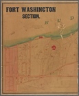
Fort Washington section.
use:
… partner (e.g.,
New
York
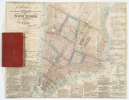
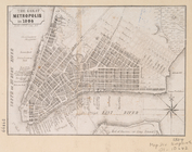
The Great metropolis in 1804.
use:
… partner (e.g.,
New
York
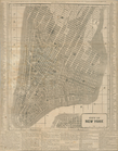
Hooker's
new
pocket plan of the city of
New
use:
… partner (e.g.,
New
York
Hooker's
new
pocket plan of the city of
New
use:
… partner (e.g.,
New
York
Hooker's
new
pocket plan of the city of
New
use:
… partner (e.g.,
New
York
Hooker's
new
pocket plan of the city of
New
use:
… partner (e.g.,
New
York
m
Hooker's
new
pocket plan of the city of
New
use:
… partner (e.g.,
New
York
Hooker's
new
pocket plan of the city of
New
use:
… partner (e.g.,
New
York
m
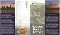
Hudson River Park, Hudson Riv…
use:
… partner (e.g.,
New
York
… in the eleventh ward of
New
York
use:
… partner (e.g.,
New
York
… of
New
York
: being part
use:
… partner (e.g.,
New
York
Map of lands in the city of
New
York
, lying
use:
… partner (e.g.,
New
York
… at the Merchants' Exchange : [
New
York
City].
use:
… partner (e.g.,
New
York
…, and
New
Jersey
use:
… partner (e.g.,
New
York
Map of
New
York
I. : with the adjacent rocks and other
use:
… partner (e.g.,
New
York
m
Map of
New
York
I. …
use:
… partner (e.g.,
New
York
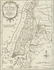
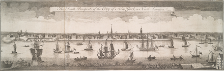
The south prospect of the City of
New
York
use:
… partner (e.g.,
New
York
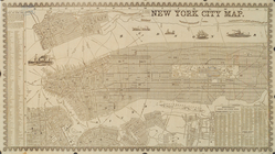
New
York
city map.
use:
… partner (e.g.,
New
York
m
Map of original grants and fa…
use:
… partner (e.g.,
New
York
… of
New
York
belonging
use:
… partner (e.g.,
New
York
… of the city of
New
York
use:
… partner (e.g.,
New
York
Map of real estate to be sold…
use:
… partner (e.g.,
New
York
Map of that part of
New
York
City between
use:
… partner (e.g.,
New
York
Map of the City of
New
York
.
use:
… partner (e.g.,
New
York
Map of the City of
New
York
use:
… partner (e.g.,
New
York
Map of the City of
New
-
York
with part
use:
… partner (e.g.,
New
York
Map of the City of
New
-
York
with part
use:
… partner (e.g.,
New
York
1
2
3
4
5
6
7
8
9
10
11
Previous
Next
1
2
3
4
5
6
7
8
9
10
11
Previous
Next