Click to visit the main New York Public Library Homepage
The New York Public Library
Digital Collections
About Digital Collections
Browse
Search only public domain materials
Items
Collections
Divisions
Home
Search
Browse
About
Search only public domain materials
Items
Collections
Divisions
Digital Collections
Using Images
Using Data
Collections
Charting America: Maps from the Lawrence H. Slaughter Collection and Others
Charting America: Maps from the Lawrence H. Slaughter Collection and Others
Navigation
Filters
Charting America: Maps from the Lawrence H. Slaughter Collection and Others
Previous
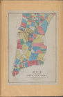
The south part of Virginia, now the north part of Carolina
0
Atlases, gazetteers, guidebooks and other books
377
Maps of the World
16
Maps of the Oceans
24
Maps of North and South America
23
Maps of North America.
551
Maps of New York City and State
1340
Lawrence H. Slaughter Collection of English maps, charts, globes, books and atlases
1020
John H. Levine Collection
60
More
Show filters
Hide filters
Show Only Public Domain
topic
Administrative and political divisions
280
Railroads
268
Real property
243
Landowners
175
City planning
107
More
Less
name
New York (N.Y.). Common Council
83
Mitchell, S. Augustus (Samuel Augustus), 1792-1868
48
Moll, Herman, -1732
40
Wells, Edward, 1667-1727
40
Dripps, M. (Matthew)
39
More
Less
collection
Maps of New York City and State
1389
Lawrence H. Slaughter Collection of English maps, charts, globes, books and atlases
216
Atlases, gazetteers, guidebooks and other books
74
John H. Levine Collection
10
Maps of the World
5
More
Less
place
New York (State)
936
New York (N.Y.)
458
New York
363
Manhattan (New York, N.Y.)
249
Brooklyn (New York, N.Y.)
201
More
Less
genre
Maps
1687
Cadastral maps
148
Manuscript maps
53
Topographic maps
24
Road maps
23
More
Less
publisher
publisher not identified
72
S. A. Mitchell, jr
42
Printed at the Theater,
37
G.W. & C.B. Colton & Co
33
... Sold ... by Tho. Bowles, print and map-seller in St. Paul's-Churchyard
28
More
Less
division
Map Division
1698
Manuscripts and Archives Division
2
type
cartographic
1682
text
18
still image
16
Date Range
to
1,700 results found for:
Niagara Canal (N.Y. : Proposed) -- Maps?tab=filter
Sort by:
Relevance
Title
Date created
Date digitized
Sequence
Results 1001 - 1050
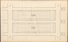
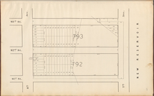
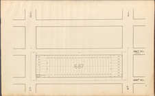
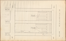
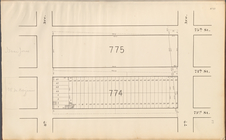
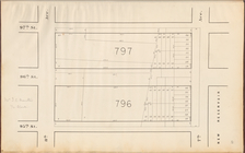
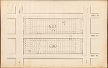
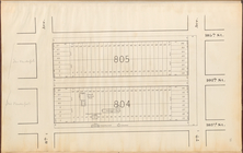
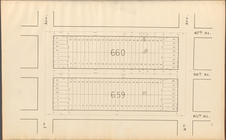
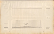
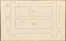
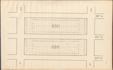
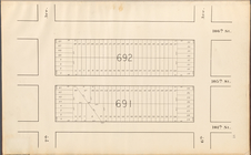
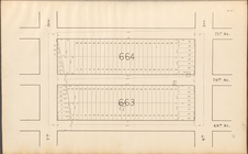
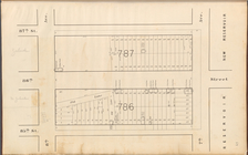
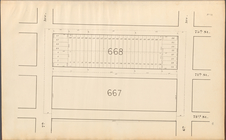
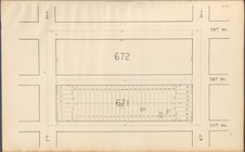
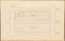
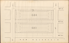
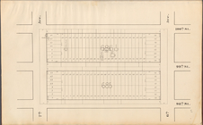
Central Park Planning
Map
: Bounded
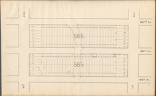
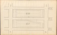
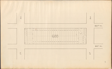
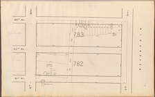
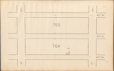
Central Park Planning
Map
: Bounded
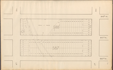
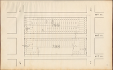
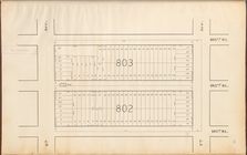
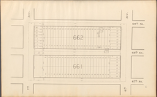
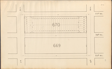
Central Park Planning
Map
: Bounded
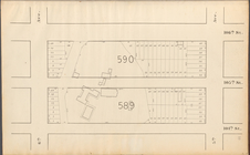
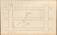
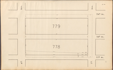
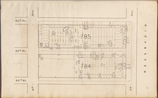
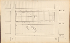
Central Park Planning
Map
: Bounded
Central Park Planning
Map
No. 5: Bounded
Central Park Planning
Map
No. 2: Bounded
Central Park Planning
Map
: Bounded
collection:
Central Park Planning
Map
: Bounded by 91
Central Park Planning
Map
No. 19
Central Park Planning
Map
: Bounded
collection:
Central Park Planning
Map
: Bounded by 93
Central Park Planning
Map
: Bounded
Central Park Planning
Map
: Bounded
collection:
Central Park Planning
Map
: Bounded by 95
Central Park Planning
Map
No. 22
Central Park Planning
Map
: Bounded
collection:
Central Park Planning
Map
: Bounded by 97
Central Park Planning
Map
: Bounded
collection:
Central Park Planning
Map
: Bounded by 65
Central Park Planning
Map
: Bounded
collection:
Central Park Planning
Map
: Bounded by 99
Central Park Planning
Map
: Bounded
collection:
Central Park Planning
Map
: Bounded by 77
Central Park Planning
Map
: Bounded
Central Park Planning
Map
: Bounded
Central Park Planning
Map
: Bounded
Central Park Planning
Map
No. 28
Central Park Planning
Map
: Bounded
Central Park Planning
Map
: Bounded
collection:
Central Park Planning
Map
: Bounded by 67
Central Park Planning
Map
: Bounded
Central Park Planning
Map
: Bounded
collection:
Central Park Planning
Map
: Bounded by 81
Central Park Planning
Map
: Bounded
Central Park Planning
Map
: Bounded
collection:
Central Park Planning
Map
: Bounded by 83
Central Park Planning
Map
: Bounded
collection:
Central Park Planning
Map
: Bounded by 69
Central Park Planning
Map
: Bounded
collection:
Central Park Planning
Map
: Bounded by 85
Central Park Planning
Map
: Bounded
Central Park Planning
Map
: Elevation
Central Park Planning
Map
No. 17
Central Park Planning
Map
: Bounded
collection:
Central Park Planning
Map
: Bounded by 87
Central Park Planning
Map
No. 1: Bounded
Central Park Planning
Map
: Bounded
collection:
Central Park Planning
Map
: Bounded by 89
Central Park Planning
Map
No. 20
Central Park Planning
Map
No. 4: Bounded
Central Park Planning
Map
No. 23
Central Park Planning
Map
No. 7: Bounded
Central Park Planning
Map
No. 26
Central Park Planning
Map
: Bounded
collection:
Central Park Planning
Map
: Bounded by 67
Central Park Planning
Map
No. 29
Central Park Planning
Map
: Bounded
collection:
Central Park Planning
Map
: Bounded by 69
Central Park Planning
Map
: Bounded
collection:
Central Park Planning
Map
: Bounded by 98
Central Park Planning
Map
: Bounded
collection:
Central Park Planning
Map
: Bounded by 71
Central Park Planning
Map
: Bounded
Map
of the City of New York showing
note:
…"Lith. by Geo. Hayward, 120 Water Str.
N
Key:
Map
of the City of New York
Key continued:
Map
of the City of New York
Key continued:
Map
of the City of New York
Key continued:
Map
of the City of New York
1
2
3
4
5
6
7
Previous
Next
1
2
3
4
5
6
7
Previous
Next