Click to visit the main New York Public Library Homepage
The New York Public Library
Digital Collections
About Digital Collections
Browse
Search only public domain materials
Items
Collections
Divisions
Home
Search
Browse
About
Search only public domain materials
Items
Collections
Divisions
Digital Collections
Using Images
Using Data
Collections
Charting America: Maps from the Lawrence H. Slaughter Collection and Others
Charting America: Maps from the Lawrence H. Slaughter Collection and Others
Navigation
Filters
Charting America: Maps from the Lawrence H. Slaughter Collection and Others
Previous
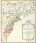
The south part of Virginia, now the north part of Carolina
0
Atlases, gazetteers, guidebooks and other books
377
Maps of the World
16
Maps of the Oceans
24
Maps of North and South America
23
Maps of North America.
551
Maps of New York City and State
1340
Lawrence H. Slaughter Collection of English maps, charts, globes, books and atlases
1020
John H. Levine Collection
60
More
Show filters
Hide filters
Show Only Public Domain
topic
Geography
516
Administrative and political divisions
340
Railroads
317
Real property
302
Landowners
216
More
Less
name
Thornton, Samuel
182
Ortelius, Abraham, 1527-1598
130
Coignet, Michel, 1549-1623
126
Shawe, James
126
Montanus, Arnoldus, 1625?-1683
118
More
Less
collection
Maps of New York City and State
2004
Lawrence H. Slaughter Collection of English maps, charts, globes, books and atlases
1252
Atlases, gazetteers, guidebooks and other books
543
John H. Levine Collection
60
Maps of North and South America
40
More
Less
place
New York (State)
1295
New York (N.Y.)
652
New York
524
Manhattan (New York, N.Y.)
347
Brooklyn (New York, N.Y.)
266
More
Less
genre
Maps
3810
Nautical charts
187
Cadastral maps
183
Manuscript maps
71
Aerial views
30
More
Less
publisher
Printed for Ieames Shawe, and are to be solde at his shoppe nigh Ludgate,
126
publisher not identified
119
Printed by the author, and are to be had at his house
116
Chapman and Hall
115
S. A. Mitchell, jr
79
More
Less
division
Map Division
3930
Manuscripts and Archives Division
2
type
cartographic
3687
text
191
still image
161
Date Range
to
3,936 results found
Sort by:
Title
Date created
Date digitized
Sequence
Results 3751 - 3800
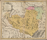
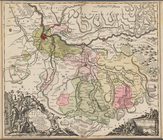
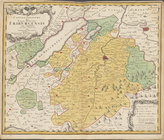
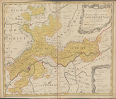
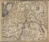
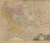
Canton Schweiz sive Pagus Hel…
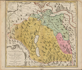
Canton Unterwalden sive Pagus…
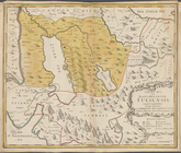
Canton Zug sive Pagus Helveti…
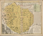
Canton Glarus sive Pagus Helv…
Pagi Basi-leensis, qui pars e…
Canton Freiburg sive Pagus He…
Canton Solothurn sive pagus H…
Ditionis pagi Scaphusiani, ...
Canton Appenzell sive pagus H…
Nova landgraviatus Turgovia c…
Der Furstliche Abt Von St. Ga…
Rhatia Foederata ...
Vallesia Superior
Novissima totius Lausonii siv…
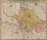
Italia in sous Status divisa …
Ducatus Sabaudia Principatus …
Ducatus Mediolani una cum Con…
Mappa Geographica Status Genu…
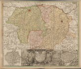
Ducatus Mantuani ceu Sedis b…
Status parmensis sive ducatus…
Status Mutinensis in suas dit…
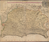
Dominii Veneti cum vicinis Pa…
Charte von Dalmatien
Status Ecclesiastici nec non …
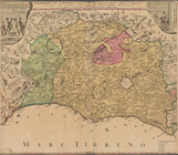
Il Lazio con le sue piu cospi…
Patrimonio di S. Pietro
Novissima & exactissima Totiu…
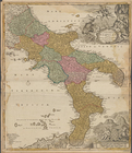
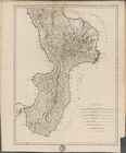
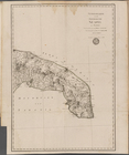
Calabria
Generalkarte von dem Koenigre…
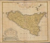
Regni & Insulae Siciliae Tabu…
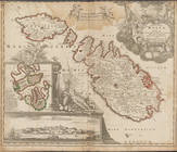
Insularum Maltae et Goza ...
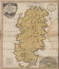
Sardiniae Regnum et Insula
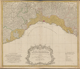
Carte nouvelle de l'Amerique …
Topographische Karte der Schw…
Blatt II: Belfort, Basel
Blatt III: Liestal, Schaffhau…
Blatt IV: Frauenfeld, St. Gal…
Blatt V: Rheineck
Blatt VI: Besancon, Le Locle
Blatt VII: Porrentruy, Soloth…
Blatt VIII: Aarau, Luzern, Zu…
Blatt IX: Schwyz, Glarus, App…
Blatt X: Feldkirch, Arlberg
Blatt XI: Pontarlier, Yverdon
Blatt XII: Freyburg, Bern
Blatt XIII: Interlaken, Sarne…
Blatt XIV: Altorf, Chur
Blatt XV: Davos, Martinsbruck
Blatt XVI: Geneve, Lausanne
Blatt XVII: Vevey, Sion
1
2
…
7
8
9
10
11
12
13
14
15
16
Previous
Next
1
2
…
7
8
9
10
11
12
13
14
15
16
Previous
Next