- The Library Shop
- Privacy Policy
- Rules and Regulations
- Using the Internet
- Website Terms and Conditions
- Gifts of Materials to NYPL
-
© The New York Public Library, 2024
The New York Public Library is a 501(c)(3) | EIN 13-1887440
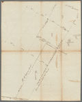
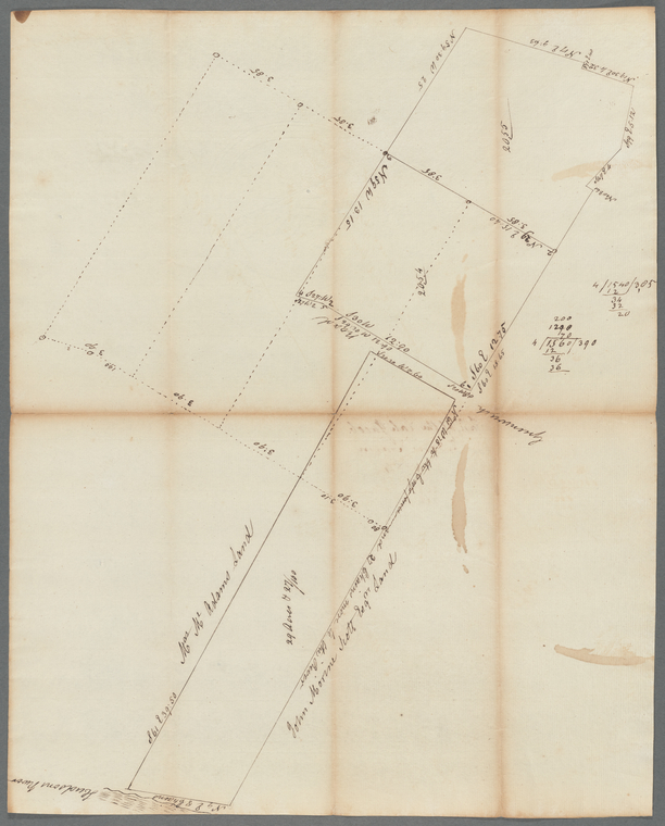
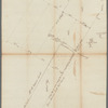
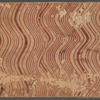
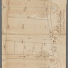
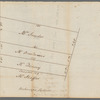
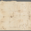
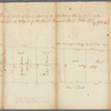
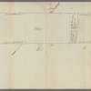
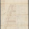
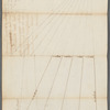
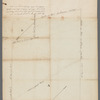
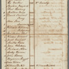
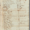
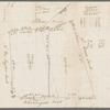
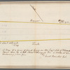
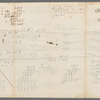
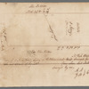
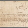
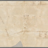
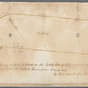
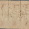
Manuscripts and Archives Division, The New York Public Library. "Map of part of the late Jacob Van Arden's farm" The New York Public Library Digital Collections. 1784. https://digitalcollections.nypl.org/items/311e5090-6a50-0135-b7f0-25a31fdc33cf
Manuscripts and Archives Division, The New York Public Library. "Map of part of the late Jacob Van Arden's farm" New York Public Library Digital Collections. Accessed April 28, 2024. https://digitalcollections.nypl.org/items/311e5090-6a50-0135-b7f0-25a31fdc33cf
Manuscripts and Archives Division, The New York Public Library. (1784). Map of part of the late Jacob Van Arden's farm Retrieved from https://digitalcollections.nypl.org/items/311e5090-6a50-0135-b7f0-25a31fdc33cf
<ref name=NYPL>{{cite web | url=https://digitalcollections.nypl.org/items/311e5090-6a50-0135-b7f0-25a31fdc33cf | title=
(cartographic)
Map of part of the late Jacob Van Arden's farm, (1784)|author=Digital Collections, The New York Public Library |accessdate=April 28, 2024 |publisher=The New York Public Library, Astor, Lenox, and Tilden Foundations}}</ref>