


- The Library Shop
- Privacy Policy
- Rules and Regulations
- Using the Internet
- Website Terms and Conditions
- Gifts of Materials to NYPL
-
© The New York Public Library, 2024
The New York Public Library is a 501(c)(3) | EIN 13-1887440
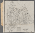
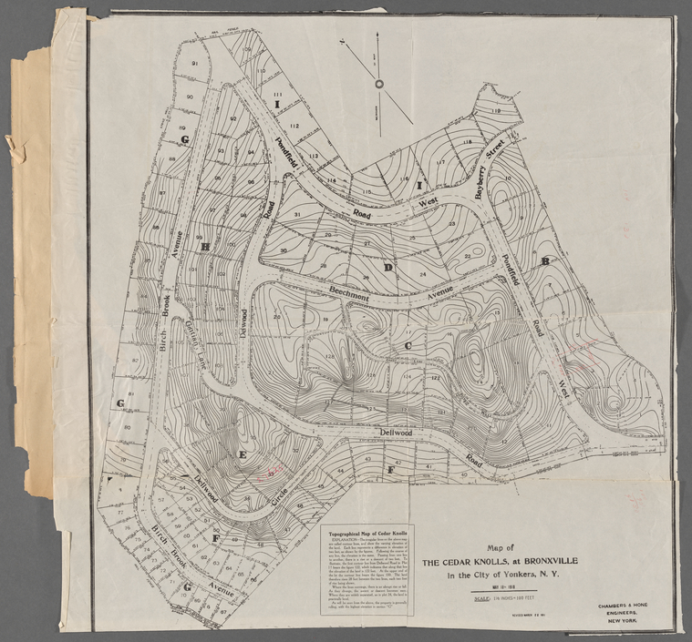
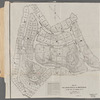
Lionel Pincus and Princess Firyal Map Division, The New York Public Library. "Map of the Cedar Knolls, at Bronxville in the City of Yonkers, N.Y. : May 18th, 1910 " The New York Public Library Digital Collections. 1911. https://digitalcollections.nypl.org/items/32807290-74f4-013c-bbfe-0242ac110003
Lionel Pincus and Princess Firyal Map Division, The New York Public Library. "Map of the Cedar Knolls, at Bronxville in the City of Yonkers, N.Y. : May 18th, 1910 " New York Public Library Digital Collections. Accessed April 27, 2024. https://digitalcollections.nypl.org/items/32807290-74f4-013c-bbfe-0242ac110003
Lionel Pincus and Princess Firyal Map Division, The New York Public Library. (1911). Map of the Cedar Knolls, at Bronxville in the City of Yonkers, N.Y. : May 18th, 1910 Retrieved from https://digitalcollections.nypl.org/items/32807290-74f4-013c-bbfe-0242ac110003
<ref name=NYPL>{{cite web | url=https://digitalcollections.nypl.org/items/32807290-74f4-013c-bbfe-0242ac110003 | title=
(cartographic)
Map of the Cedar Knolls, at Bronxville in the City of Yonkers, N.Y. : May 18th, 1910 , (1911)|author=Digital Collections, The New York Public Library |accessdate=April 27, 2024 |publisher=The New York Public Library, Astor, Lenox, and Tilden Foundations}}</ref>