Click to visit the main New York Public Library Homepage
The New York Public Library
Digital Collections
About Digital Collections
Browse
Search only public domain materials
Items
Collections
Divisions
Home
Search
Browse
About
Search only public domain materials
Items
Collections
Divisions
Digital Collections
Using Images
Using Data
Search
Filtered search
Show filters
Hide filters
Show Only Public Domain
topic
History
117
Geography
58
Mathematics
57
Astronomy, 1681
55
Atlases, British
21
More
Less
name
Montanus, Arnoldus, 1625?-1683
117
Ogilby, John, 1600-1676
116
Flamsteed, John, 1646-1719
55
Godbid, A
55
Hanway, William
55
More
Less
collection
x
Lawrence H. Slaughter Collection of English maps, charts, globes, books and atlases
place
America
131
West Indies, British
116
Maps
18
Virginia -- Maps -- Early works to 1800
16
America -- Maps -- Early works to 1800
13
More
Less
genre
Maps
263
Title pages
3
Nautical charts
1
publisher
Printed by the author, and are to be had at his house
116
Printed by A. Godbid and J. Playford, for R. Scott, bookseller
55
Printed by A. Godbid and J. Playford, for John Seller ...,
8
Printed for Robert Morden and Thomas Cockeril, at the Atlas in Cornhill, and at the Three Legs in the Poultrey, over against the Stocks-Market
6
J. Seller
5
More
Less
division
Map Division
266
type
cartographic
160
still image
102
text
7
Date Range
to
267 results found
Filtering on:
x
Date
: 1630 - 1699
x
Collection
: Lawrence H. Slaughter Collection of English maps, charts, globes, books and atlases
For more collection details, visit the
Lawrence H. Slaughter Collection of English maps, charts, globes, books and atlases collection page
.
Sort by:
Title
Date created
Date digitized
Sequence
Pas kaart van de zee kusten v…
The generall historie of Virg…
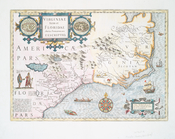
Virginiae partis australis, e…
Costes et rivieres de Virgini…
Pas kaart van West Indien : b…
Partie orientale du Canada ou…
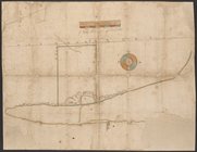
Map of West's patent on west …
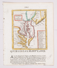
Noua Terrae-Mariae tabula.
Carta particolare della Virgi…
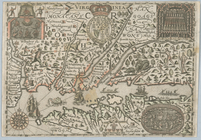
Virginia.
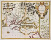
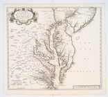
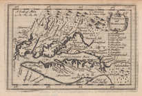
A new map of Virginia and Mar…
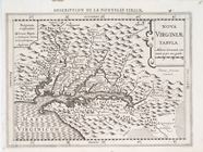
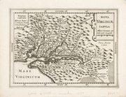
Nova Virginiae tabula.
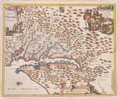
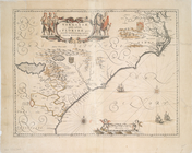
A map of Virginia and Maryland
Nova Virginiae tabvla
A new map of Virginia, Mary-l…
Virginia
Nova Virginiae tabvla
Virginiae partis australis et…
Nova Virginiae tabvla.
A new mapp of the Empire of M…
L'Ameriqve françoise, ou son …
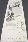
Mare del Nord
Carte d'un tres grand pais no…
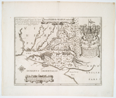
Nova Belgica et Anglia Nova.
Pas-Kaart vande zee kusten va…
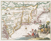
Novi Belgii Novaeque Angliae …
Novi Belgii, quod nunc Novi J…
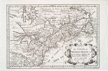
Le Canada, ou Nouvelle France…
L'Amerique septentrionale, ou…
m
Segments of 4 half globe gore…
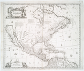
America Septentrionalis.
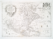
America septentrionalis.
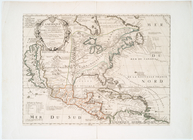
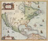
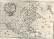
A new mapp of America Septent…
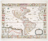
Americae nova descriptio
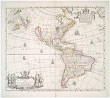
Americae descriptio nova
Americae descriptio nova
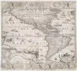
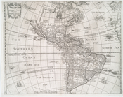
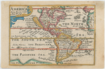
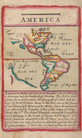
America
America noviter delineata
Virginiae item et Floridae Am…
A new and most exact map of A…
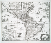
A new mapp of America: devid…
America, nouiter delineata.
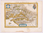
Virginia and Maryland.
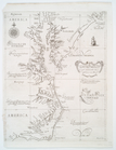
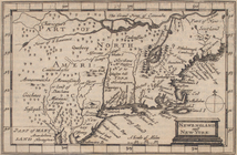
Newengland and New York.
A general chart of the West I…
m
A chart of the West Indias fr…
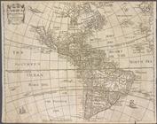
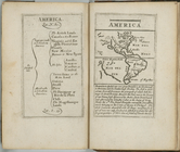
America.
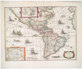
America.
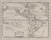
A new mapp of America Septent…
America.
1
2
Previous
Next
1
2
Previous
Next