Click to visit the main New York Public Library Homepage
The New York Public Library
Digital Collections
About Digital Collections
Browse
Search only public domain materials
Items
Collections
Divisions
Home
Search
Browse
About
Search only public domain materials
Items
Collections
Divisions
Digital Collections
Using Images
Using Data
Search
Filtered keyword search
Show filters
Hide filters
Show Only Public Domain
topic
x
Real property
Landowners
150
Administrative and political divisions
44
Railroads
18
Cities and towns
14
More
Less
name
Burr, David H., 1803-1875
16
Rawdon, Clark & Co
16
Rawdon, Wright & Co
16
Walling, Henry Francis, 1825-1888
15
Smith, Robert Pearsall, 1827-1898
13
More
Less
collection
Maps of North America
110
Maps of New York City and State
89
Atlases of the United States
16
Lawrence H. Slaughter Collection of English maps, charts, globes, books and atlases
2
Collection of property maps of parts of Westchester County, N.Y. : covering mostly Eastchester, Mount Vernon, and Yonkers
1
place
New York (State)
101
New York (N.Y.)
27
Massachusetts
21
New York
20
Pennsylvania
14
More
Less
genre
Maps
218
Cadastral maps
132
Atlases
16
Illustrations
7
Manuscript maps
7
More
Less
publisher
publisher not identified
29
M. Dripps
10
Stone and Clark,
8
H.G. Langley
6
J.B. Beers & Co
5
More
Less
division
x
Map Division
type
cartographic
217
still image
14
text
1
Date Range
to
218 results found for:
x
Reliefs
Filtering on:
x
Division
: Map Division
x
Topic
: Real property
Sort by:
Relevance
Title
Date created
Date digitized
Sequence
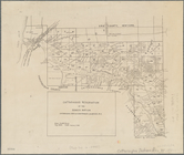
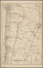
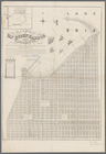
Pencil sketch of Rochester, N…
note:
Relief
shown by hachures.
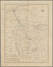
A map of the late Jackson Est…
note:
Relief
shown by rock drawings and spot
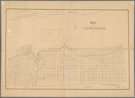
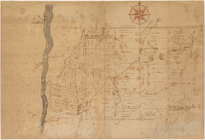
Map of Highbridgeville in the…
note:
Relief
shown by hachures.
m
Map of the Cedar Knolls, at B…
note:
….
Relief
by contour
m
Map of Kings and part of Quee…
note:
Relief
shown by hachures. Also shows
Map of Swanzey, 1890: [New Ha…
note:
Relief
shown by hachures.
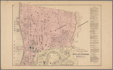
Map of the city of Rochester:…
note:
Relief
shown by hachures.
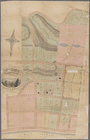
Plan of part of Weverton
note:
Relief
shown by hachures.
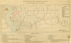
Cortlandt Manor map : prepare…
note:
Relief
shown pictorially.
Cattaraugus Reservation of th…
note:
Relief
shown by hachures.
Portions of 2nd, 3rd, and 4th…
note:
Relief
shown by hachures.
m
Map of the city of Poughkeeps…
note:
Relief
shown by hachures.
Map of property at New Bright…
note:
Relief
shown by shading and hachures.
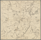
Map showing the Adirondack La…
note:
Relief
shown by hachures and spot heights.
Plat of the private claims at…
abstract:
… owner's names.
Relief
Map of the town of Ipswich, c…
note:
Relief
shown by hachures and spot heights.
Town of Greenburgh, Westchest…
note:
Relief
shown by hachures.
Plan of the Country Club Land…
note:
Relief
shown by hachures. Depths shown
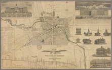
Map of the village of Auburn
abstract:
Relief
shown pictorially and by hachures
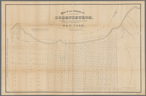
Map of Ogdensburgh
note:
Relief
shown by hachures. Depths shown
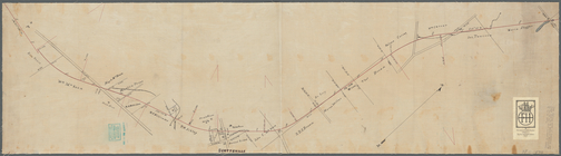
Plan showing route of Rochest…
note:
Relief
shown by spot heights.
Map of Marshfield, Mass.
abstract:
….
Relief
shown by hachures
Lands of the Ogden Mining & M…
abstract:
Relief
shown by hachures. Shows lots leased
Map of the town of Raynham, B…
abstract:
… and town districts.
Relief
Centennial map of Concord, 17…
note:
Relief
shown by hachures.
Map of Bristol County, Rhode …
note:
Relief
shown by hachures.
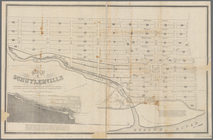
Map of Schuylerville: exhibit…
note:
Relief
shown pictorially and by hachures.
Map of the city of Erie : sho…
abstract:
Relief
shown by hachures. Oriented
North Berwick: [Maine]
note:
Relief
shown by hachures.
A map of the original allotme…
note:
Relief
shown by hachures.
Plan of the town of Concord, …
note:
Relief
shown by hachures.
Plan of an extension of the v…
note:
Relief
shown by hachures.
Map of the town of Blackstone…
abstract:
….
Relief
shown by hachures
Country-seat of Danl. P. Barn…
note:
Relief
shown by hachures, and land forms.
Portions of 1st, 2nd, and 3rd…
note:
Relief
shown by hachures.
Map of property at New Bright…
note:
Relief
shown by shading and hachures.
Map of the town of Needham, M…
note:
Relief
shown by hachures.
Plan of McLean Hospital lands…
note:
Relief
shown by hachures.
Trans-Flat-Top Land Associati…
abstract:
Relief
shown by hactures. Includes inset
Map of the manors erected wit…
note:
Relief
shown by hachures.
Plan of Charlestown peninsula…
note:
Relief
shown by hachures.
The principal parts of Norwal…
note:
Relief
shown by hachures, and land forms.
Map of property at Van Buren …
note:
Relief
shown by land forms and depths
Topographical map of the nort…
note:
Relief
shown by hachures.
m
Map of the highlands of the H…
note:
Relief
shown by hachures and spot heights.
m
Map of the southern part of W…
note:
Relief
shown by hachures.
Map of the eastern townships …
note:
Relief
shown by hachures.
Onondaga County & adjacent te…
note:
Relief
shown by hachures.
Untitled manuscript map of Gr…
note:
Relief
shown by single form lines
Map of the town of Natick, Mi…
note:
Relief
shown by hachures.