Click to visit the main New York Public Library Homepage
The New York Public Library
Digital Collections
About Digital Collections
Browse
Search only public domain materials
Items
Collections
Divisions
Home
Search
Browse
About
Search only public domain materials
Items
Collections
Divisions
Digital Collections
Using Images
Using Data
Search
Filtered keyword search
Show filters
Hide filters
Show Only Public Domain
topic
Real property
10889
Fire insurance
5305
Cities & towns
5007
City planning
1087
Social conditions
942
More
Less
name
Sanborn Map Company
5108
G.W. Bromley & Co
2551
New York (N.Y.). City Planning Commission
980
M.I.T. Press
942
Bromley, George Washington
857
More
Less
collection
Atlases of New York City
11592
Atlases of the United States
3839
Maps of North America
3345
Maps of New York City and State
2057
Lawrence H. Slaughter Collection of English maps, charts, globes, books and atlases
1248
More
Less
place
New York (State)
13151
New York
4862
New York (N.Y.)
3351
Manhattan (New York, N.Y.)
2239
Brooklyn (New York, N.Y.)
1212
More
Less
genre
Maps
23265
Atlases
3762
Topographic maps
1050
Cadastral maps
594
Nautical charts
394
More
Less
publisher
Sanborn Map Company
5145
G.W. Bromley & Co
2371
MIT Press
942
E. Belcher Hyde
807
K.u.K. Militargeographisches Institut
774
More
Less
division
x
Map Division
type
cartographic
22270
still image
1222
text
755
Date Range
to
Looking for one of these collections?
Atlases of New York City
11,722 items
Atlases of the United States
3,868 items
Maps of North America
3,345 items
Maps of New York City and State
2,059 items
Lawrence H. Slaughter Collection of English maps, charts, globes, books and atlases
1,252 items
Spezialkarte der Osterreichisch-Ungarischen Monarchie
774 items
23,798 results found for:
x
map
Filtering on:
x
Division
: Map Division
Sort by:
Relevance
Title
Date created
Date digitized
Sequence
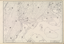
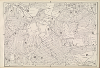
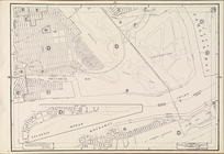
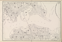
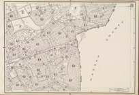
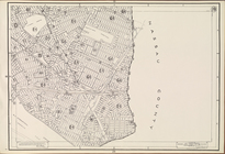
Map
of North America
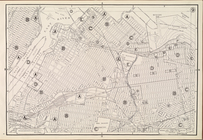
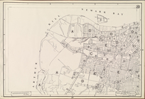
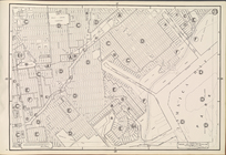
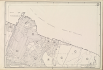
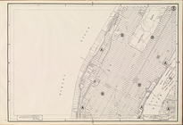
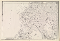
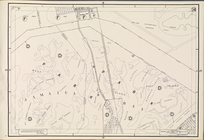
Area Zoning
Map
Section No. 1
note:
Scale of
maps
ca. 1:9,600.
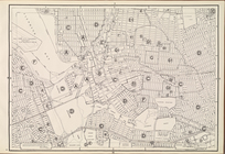
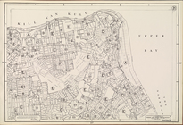
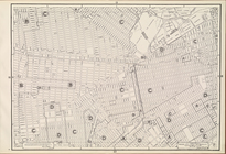
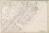
Area Zoning
Map
Section No. 3
note:
Scale of
maps
ca. 1:9,600.
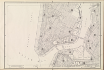
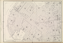
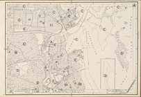
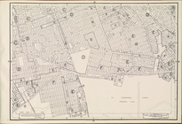
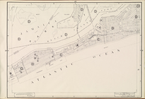
Area Zoning
Map
Section No. 5
note:
Scale of
maps
ca. 1:9,600.
Area Zoning
Map
Section No. 6
note:
Scale of
maps
ca. 1:9,600.
Area Zoning
Map
Section No. 9
note:
Scale of
maps
ca. 1:9,600.
Area Zoning
Map
Section No. 10
note:
Scale of
maps
ca. 1:9,600.
Area Zoning
Map
Section No. 12
note:
Scale of
maps
ca. 1:9,600.
Area Zoning
Map
Section No. 13
note:
Scale of
maps
ca. 1:9,600.
Area Zoning
Map
Section No. 20
note:
Scale of
maps
ca. 1:9,600.
Area Zoning
Map
Section No. 21
note:
Scale of
maps
ca. 1:9,600.
Area Zoning
Map
Section No. 22
note:
Scale of
maps
ca. 1:9,600.
Area Zoning
Map
Section No. 23
note:
Scale of
maps
ca. 1:9,600.
Area Zoning
Map
Section No. 25
note:
Scale of
maps
ca. 1:9,600.
Area Zoning
Map
Section No. 26
note:
Scale of
maps
ca. 1:9,600.
Area Zoning
Map
Section No. 28
note:
Scale of
maps
ca. 1:9,600.
Area Zoning
Map
Section No. 29
note:
Scale of
maps
ca. 1:9,600.
Area Zoning
Map
Section No. 31
note:
Scale of
maps
ca. 1:9,600.
Area Zoning
Map
Section No. 33
note:
Scale of
maps
ca. 1:9,600.
Area Zoning
Map
Section No. 34
note:
Scale of
maps
ca. 1:9,600.
… Plate [
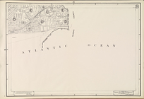
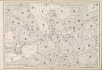
Map
of school district
map
of the city
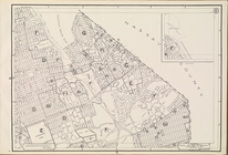
Map
of borough of Queens
note:
…
map
of Queens Borough
m
Cabinet
map
of Iowa
note:
Map
was originally
m
Iowa
note:
Map
was originally
An exact
map
of North America : from
note:
NYPL. Dictionary catalog of the
Map
A
map
of the world, with the latest discoveries
A new
map
of North America from the latest
m
Map
of lots near Prospect Park.
…, Right Page [
Map
of town of Venice,
Map
of Poplar
note:
Contains one loose folded
map
.
Maps
m
Petersen's
map
of Brooklyn
note:
…"A.R. Ohman
Map
Co.
Map
Publishers
Manhattan, first city in Amer…
collection:
Maps
of New York City and State
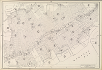
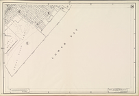
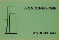
Area Zoning
Map
. City of New York
note:
Scale of
maps
ca. 1:9,600.
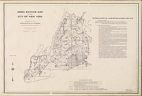
Area Zoning
Map
. City of New York. 1953
note:
Scale of
maps
ca. 1:9,600.
Area Zoning
Map
Section No. 2
note:
Scale of
maps
ca. 1:9,600.
Area Zoning
Map
Section No. 4
note:
Scale of
maps
ca. 1:9,600.
Area Zoning
Map
Section No. 7
note:
Scale of
maps
ca. 1:9,600.
Area Zoning
Map
Section No. 8
note:
Scale of
maps
ca. 1:9,600.
Area Zoning
Map
Section No. 11
note:
Scale of
maps
ca. 1:9,600.
Area Zoning
Map
Section No. 14
note:
Scale of
maps
ca. 1:9,600.
Area Zoning
Map
Section No. 15
note:
Scale of
maps
ca. 1:9,600.
Area Zoning
Map
Section No. 16
note:
Scale of
maps
ca. 1:9,600.
Area Zoning
Map
Section No. 17
note:
Scale of
maps
ca. 1:9,600.
Area Zoning
Map
Section No. 18
note:
Scale of
maps
ca. 1:9,600.
Area Zoning
Map
Section No. 19
note:
Scale of
maps
ca. 1:9,600.
Area Zoning
Map
Section No. 24
note:
Scale of
maps
ca. 1:9,600.
Area Zoning
Map
Section No. 27
note:
Scale of
maps
ca. 1:9,600.
Area Zoning
Map
Section No. 30
note:
Scale of
maps
ca. 1:9,600.
Area Zoning
Map
Section No. 32
note:
Scale of
maps
ca. 1:9,600.
Area Zoning
Map
Section No. 35
note:
Scale of
maps
ca. 1:9,600.
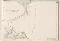
Map
of the Hudson River District[copy 1].
1
2
3
4
5
6
7
8
9
10
…
95
96
Previous
Next
1
2
3
4
5
6
7
8
9
10
…
95
96
Previous
Next