Click to visit the main New York Public Library Homepage
The New York Public Library
Digital Collections
About Digital Collections
Browse
Search only public domain materials
Items
Collections
Divisions
Home
Search
Browse
About
Search only public domain materials
Items
Collections
Divisions
Digital Collections
Using Images
Using Data
Search
Filtered keyword search
Show filters
Hide filters
Show Only Public Domain
topic
Real property
227
City planning
38
Social conditions
38
Railroads
10
Landowners
6
More
Less
name
G.W. Bromley & Co
109
Ullitz, Hugo
102
E. Belcher Hyde Map Company
90
E.B. Hyde & Co
67
M.I.T. Press
38
More
Less
collection
Atlases of New York City
269
Maps of New York City and State
27
Collection of broadside real estate maps announcing auctions of lots in early 19th century New York City
3
Robert Moses papers
2
place
x
New York
New York (State)
301
Bronx (New York, N.Y.)
118
Brooklyn (New York, N.Y.)
92
New York (N.Y.)
58
More
Less
genre
x
Maps
Cadastral maps
5
Index maps
4
Pamphlets
3
Plans
2
More
Less
publisher
G.W. Bromley & Co
100
E. Belcher Hyde
63
MIT Press
38
Hyde & Co
31
E. Robinson Co
9
More
Less
division
Map Division
298
Manuscripts and Archives Division
2
type
cartographic
263
still image
38
text
5
Date Range
to
301 results found for:
x
11
Filtering on:
x
Genre
: Maps
x
Place
: New York
Sort by:
Relevance
Title
Date created
Date digitized
Sequence
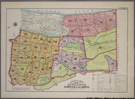
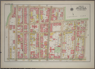
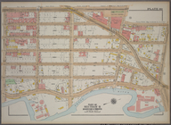
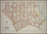
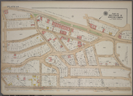
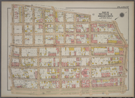
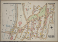
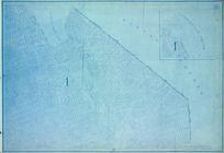
Outline & Index Map: Sections
11
, 12 and 13
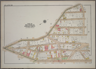
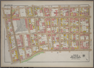
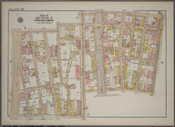
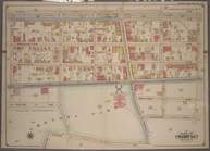
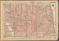
Plate 42, Part of Section
11
, Borough
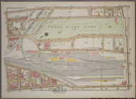
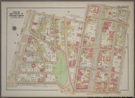
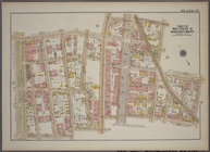
Plate
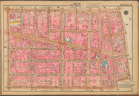
11
, Part of Section 9, Borough
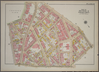
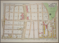
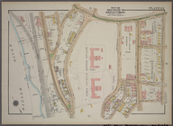
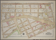
Plate 39, Part of Section
11
, Borough
Plate 40, Part of Section
11
, Borough
Plate 41, Part of Section
11
, Borough
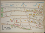
Plate 43, Part of Section
11
, Borough
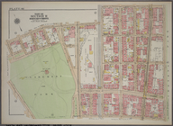
Plate 48, Part of Section
11
, Borough
Plate 49, Part of Section
11
, Borough
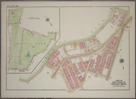
Plate 52, Part of Section
11
, Borough
Plate 53, Part of Section
11
, Borough
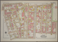
Plate 63, Part of Section
11
, Borough
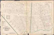
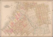
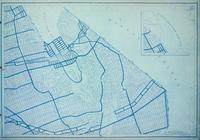
Manhattan community planning District
11
. East
Queens community planning District
11
Bronx community planning District
11
Plate 38, Part of Section
11
, Borough
Plate 44, Part of Section
11
, Borough
Plate 45, Part of Section
11
, Borough
Plate 46, Part of Section
11
, Borough
Plate 47, Part of Section
11
, Borough
Plate 50, Part of Section
11
, Borough
Plate 51, Part of Section
11
, Borough
Plate 54, Part of Section
11
, Borough
Plate 55, Part of Section
11
, Borough
Plate 56, Part of Section
11
, Borough
Plate 57, Part of Section
11
, Borough
Plate 58, Part of Section
11
, Borough
Plate 59, Part of Section
11
, Borough
Plate 61, Part of Section
11
, Borough
Brooklyn community planning District
11
Plate 62, Part of Section
11
, Borough
Plate
11
: Bounded by Park Place, Nostrand
Plate
11
: [Bounded by Noble Street, Manhattan
… No.
11
, Part of Ward 24, Section
11
…; Part of Wards 20 &
11
Brooklyn, Vol. 2, Double Page Plate No.
11
…. Wards 7,
11
, 20, 21, 23
…; Part of Ward
11
Height District Map Section No.
11
Use District Map Section No.
11
…; Part of Wards
11
& 20
Plate
11
, Part of Section 1
Plate
11
Area District Map Section No.
11
Outline & Index Map: Sections…
collection:
Atlas of borough of the Bronx, Sections 9 10
11
Plate 15, Part of Section 9, …
collection:
Atlas of borough of the Bronx, Sections 9 10
11
Plate 17, Part of Section 9, …
collection:
Atlas of borough of the Bronx, Sections 9 10
11
Plate 35, Part of Section 10,…
collection:
Atlas of borough of the Bronx, Sections 9 10
11
Plate 36, Part of Section 10,…
collection:
Atlas of borough of the Bronx, Sections 9 10
11
Plate 37, Part of Section 10,…
collection:
Atlas of borough of the Bronx, Sections 9 10
11
1
2
Previous
Next
1
2
Previous
Next