Click to visit the main New York Public Library Homepage
The New York Public Library
Digital Collections
About Digital Collections
Browse
Search only public domain materials
Items
Collections
Divisions
Home
Search
Browse
About
Search only public domain materials
Items
Collections
Divisions
Digital Collections
Using Images
Using Data
Search
Filtered keyword search
Show filters
Hide filters
Show Only Public Domain
topic
Real property
98
Administrative and political divisions
81
Nautical charts
75
Landowners
72
Railroads
64
More
Less
name
Mitchell, S. Augustus (Samuel Augustus), 1792-1868
69
United States Coast Survey
58
Bache, A. D. (Alexander Dallas), 1806-1867
53
Burr, David H., 1803-1875
32
New York (N.Y.). Department of Parks. Topographical Division
29
More
Less
collection
Maps of North America
299
Maps of New York City and State
99
Atlases of the United States
72
Atlases, gazetteers, guidebooks and other books
52
Lawrence H. Slaughter Collection of English maps, charts, globes, books and atlases
37
More
Less
place
New York (State)
120
United States
66
New York (N.Y.)
55
New York Metropolitan Area
39
New Jersey
32
More
Less
genre
x
Maps
Atlases
62
Nautical charts
49
Cadastral maps
45
Topographic maps
40
More
Less
publisher
S. A. Mitchell, jr
50
The Division
29
U.S. Coast Survey
28
Stone and Clark,
26
publisher not identified
16
More
Less
division
Map Division
604
Rare Book Division
2
George Arents Collection
1
Manuscripts and Archives Division
1
Wallach Division: Print Collection
1
type
cartographic
603
still image
21
text
14
Date Range
to
609 results found for:
x
Tables
Filtering on:
x
Genre
: Maps
Sort by:
Relevance
Title
Date created
Date digitized
Sequence
m
The languages and races of Da…
A chart of the world : exhibi…
note:
Includes notes,
table
of "Extent
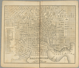
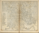
Baltimore.
collection:
…. ; with
tables
of distances
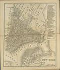
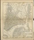
New-York.
collection:
…. ; with
tables
of distances
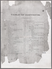
Table
of Contents
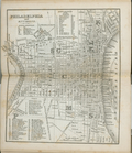
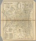
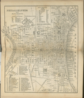
Philadelphia and environs.
collection:
…. ; with
tables
of distances
Baltimore.
collection:
…. ; with
tables
of distances
New-York.
collection:
…. ; with
tables
of distances
Philadelphia and environs.
collection:
…. ; with
tables
of distances
Baltimore.
collection:
…. With
tables
of distances
Philadelphia and environs.
collection:
…. With
tables
of distances
New-York.
collection:
…. With
tables
of distances
Carte generale de la terre : …
note:
Includes text, diagrams and
tables
.
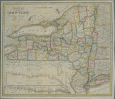
A map of the state of New Yor…
note:
Includes note,
table
of statistics
A general map of the world, o…
note:
Includes text, diagrams, and
tables
.
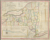
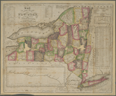
Map of the State of New York
note:
…
table
of cities
The world, on Mercator's proj…
note:
Includes historical notes, ship ill.,
tables
Map of the State of New York
note:
Includes statistical
table
.
Map of the State of New York …
note:
Includes text and statistical
tables
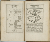
L'Amerique suivant le R.P. Ch…
note:
… divise" (
table
North America
collection:
… : with geographical
tables
, explaining
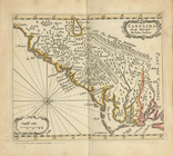
Carolina newly discribed
collection:
… : with geographical
tables
, explaining
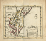
Virginia and Maryland
collection:
… : with geographical
tables
, explaining
Pensilvania
collection:
… : with geographical
tables
, explaining
New England and New York
collection:
… : with geographical
tables
, explaining
New Iarsey
collection:
… : with geographical
tables
, explaining
Table
of Contents
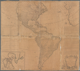
A map of the whole continent …
Tabula geographica universi t…
Map of the state of New York …
note:
Includes indexed
tables
of references
Map of the state of New York …
note:
…
tables
, statistical
tables
and elevation
Map of the state of New York …
note:
Includes inset statistical
tables
m
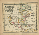
North America divided into it…
abstract:
Accompanied by: Geographical
tables
m
Map of the state of New-York …
note:
Includes indexed
tables
of references
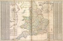
The south part of Great Brita…
note:
[Chart:] Use of the
tables
.
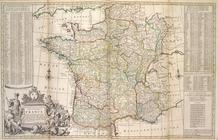
A new and exact map of France…
note:
[Includes: an alphabetical
table
Neueste Karte von New York : …
note:
Includes inset mileage
table
The Empire State, New York : …
note:
Includes notes and 3
tables
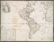
North America
collection:
… : with geographical
tables
, explaining
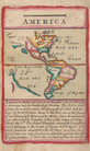
America.
note:
In this edition, the lunar
table
is dated
Map of the United States, the…
note:
… California and distance
table
.
The tourist's map of the stat…
note:
…. : statistical
tables
; 13 cm.
m
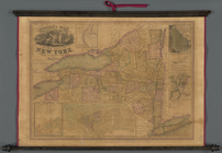
A new township map of the sta…
note:
… "Excelsior," 2
tables
of 1860
Distance map of the state of …
note:
… in the state [diagram and
table
Squire's map of the state of …
note:
… in the state [statistical
table
].
m
New map of that portion of No…
note:
… and county towns,
table
America.
note:
In this edition, the lunar
table
is dated
Colton's new illustrated & em…
note:
… of "Authorities,"
table
America.
note:
…. 97-6226 includes "A
table
Colton's railroad & township …
abstract:
… and includes
table
1
2
3
Previous
Next
1
2
3
Previous
Next