Click to visit the main New York Public Library Homepage
The New York Public Library
Digital Collections
About Digital Collections
Browse
Search only public domain materials
Items
Collections
Divisions
Home
Search
Browse
About
Search only public domain materials
Items
Collections
Divisions
Digital Collections
Using Images
Using Data
Search
Filtered keyword search
Show filters
Hide filters
Show Only Public Domain
topic
Insurance, Fire
38
Maps
38
Insurance
12
Warehouses
12
name
Perris, William
50
Perris & Browne
12
collection
x
Atlases of New York City
place
x
Brooklyn (New York, N.Y.)
New York
12
New York (State)
12
genre
Maps
49
Title pages
3
Indexes
1
publisher
William Perris
38
division
Map Division
50
type
cartographic
49
text
3
Date Range
to
50 results found for:
x
Perris, William
Filtering on:
x
Place
: Brooklyn (New York, N.Y.)
x
Collection
: Atlases of New York City
For more collection details, visit the
Atlases of New York City collection page
.
Sort by:
Relevance
Title
Date created
Date digitized
Sequence
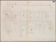
Plate 36: Maps Covering Vario…
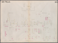
Plate 35: Map bounded by
William
Street
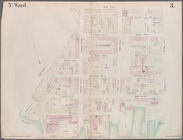
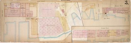
Plate 3: Map bounded by East …
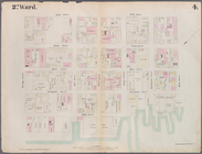
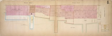
Plate 4: Map bounded by East …
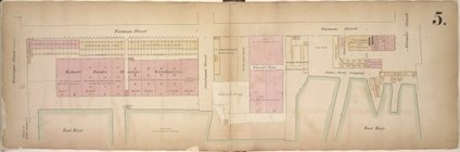
Plate 5: Map bounded by East …
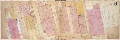
Plate 6: Map bounded by Popla…
Plate 7: Map bounded by Pierr…
Plate 8: Map bounded by Pacif…
Plate 10: Map bounded by Hami…
Plate 11: Map bounded by But…
Plate 12: Map bounded by York…
Plate 13: Map bounded by Conc…
Plate 16: Map bounded by Mont…
Plate 17: Map bounded by Atla…
Plate 18: Map bounded by Degr…
Plate 19: Map bounded by Conc…
Plate 21: Map bounded by Flus…
Plate 22: Map bounded by Myrt…
Plate 23: Map bounded by Lafa…
Plate 24: Map bounded by Myrt…
Plate 27: Map bounded by Sche…
Plate 30: Map bounded by Berg…
Plate 31: Map bounded by Warr…
Plate 32: Map bounded by Degr…
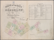
Maps of the City of Brooklyn,…
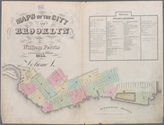
Maps of the City of Brooklyn,…
…,
William
Street, Van Brunt
Plate 9: Map bounded by Butte…
Plate 14: Map bounded by Mark…
Plate 15: Map bounded by Pine…
Plate 20: Map bounded by Flus…
Plate 25: Map bounded by Will…
Plate 26: Map bounded by Sche…
Plate 28: Map bounded by Will…
Plate 29: Map bounded by Jora…
Plate 33: Map bounded by Thir…
Plate 1: Map bounded by North…
Plate 2: Map bounded by South…
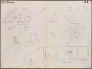
Page Plate No. 9; [Map bounde…
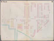
Double Page Plate No. 1; [Map…
Double Page Plate No. 2; [Map…
Double Page Plate No. 3; [Map…
Double Page Plate No. 4; [Map…
Double Page Plate No. 5; [Map…
Double Page Plate No. 6; [Map…
Page Plate No. 11; [Map bound…
Page Plate No. 12; [Map bound…
Double Page Plate No. 8; [Map…
Double Page Plate No. 10; [Ma…
Insurance maps of the Warehou…
note:
…, in the year 1860, by
William
End of results
|
Top