Click to visit the main New York Public Library Homepage
The New York Public Library
Digital Collections
About Digital Collections
Browse
Search only public domain materials
Items
Collections
Divisions
Home
Search
Browse
About
Search only public domain materials
Items
Collections
Divisions
Digital Collections
Using Images
Using Data
Search
Filtered keyword search
Show filters
Hide filters
Show Only Public Domain
topic
Real property
292
Fire insurance
105
Insurance
12
Warehouses
12
Streets
9
More
Less
name
Perris, William
272
Perris & Browne
142
G.W. Bromley & Co
22
Colmer, Roy, 1935-2014
8
Sperr, Percy Loomis, 1890-1964
8
More
Less
collection
Atlases of New York City
299
Photographic views of New York City, 1870's-1970's, from the collections of the New York Public Library
9
Doors, NYC
8
Collection of broadside real estate maps announcing auctions of lots in early 19th century New York City
5
Wallach Division Picture Collection
5
More
Less
place
x
New York
New York (State)
344
Manhattan (New York, N.Y.)
291
New York (N.Y.)
21
Brooklyn (New York, N.Y.)
15
More
Less
genre
Maps
306
Photographs
25
Title pages
14
Index maps
13
Prints
8
More
Less
publisher
Perris & Browne
124
William Perris
105
Lith. by Korff Brothers
23
William Perris, Civil Engineer
23
G.W. Bromley & Co
22
More
Less
division
Map Division
178
Milstein Division
9
Manuscripts and Archives Division
8
Wallach Division: Photography Collection
8
Wallach Division: Print Collection
5
More
Less
type
cartographic
305
still image
36
text
14
Date Range
to
344 results found for:
x
perris
Filtering on:
x
Place
: New York
Sort by:
Relevance
Title
Date created
Date digitized
Sequence
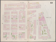
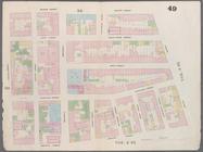
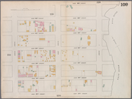
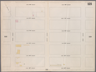
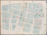
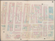
Map bounded by Murray Street,…
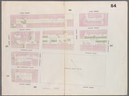
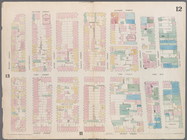
Map bounded by Canal Street, …
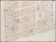
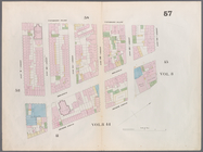
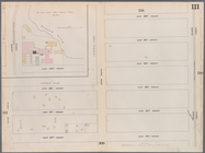
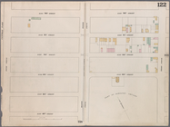
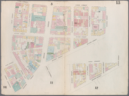
Map bounded by Hamersley Stre…
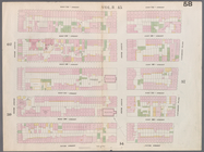
Map bounded by Spring Street,…
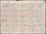
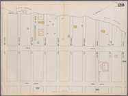
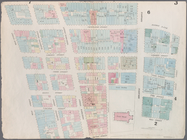
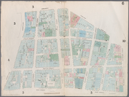
Map bounded by Broome Street,…
Map bounded by Houston Street…
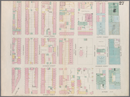
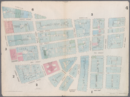
Map bounded by Rivington Stre…
Map bounded by Division Stree…
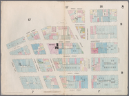
Map bounded by 5th Street, Fi…
Map bounded by 4th Street, Bo…
m
Map bounded by 9th Street, Fo…
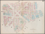
Map bounded by 9th Street, Un…
Map bounded by 14th Street, F…
Map bounded by 14th Street, U…
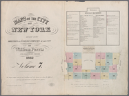
Maps of the city of New -York…
Map bounded by West 42nd Stre…
Map bounded by West 47th Stre…
Map bounded by West 47th Stre…
Map bounded by West 47th Stre…
Map bounded by West 52nd Stre…
Map bounded by West 52nd Stre…
Map bounded by West 52nd Stre…
Map bounded by West 57th Stre…
Map bounded by West 57th Stre…
Map bounded by West 57th Stre…
Map bounded by East 57th Stre…
Map bounded by East 57th Stre…
Map bounded by East 62nd Stre…
Map bounded by East 62nd Stre…
Map bounded by East 62nd Stre…
Map bounded by West 59th Stre…
Map bounded by West 62nd Stre…
Map bounded by West 64th Stre…
Map bounded by West 72nd Stre…
Map bounded by West 67th Stre…
Map bounded by West 72nd Stre…
Map bounded by East 67th Stre…
Map bounded by East 67th Stre…
Map bounded by East 72nd Stre…
Map bounded by East 72nd Stre…
Map bounded by East 72nd Stre…
Map bounded by Dey Street, Br…
Map bounded by Maiden Lane, S…
Map bounded by Frankfort Stre…
Map bounded by City Hall Squa…
Map bounded by Duane Street, …
Map bounded by Chatham Street…
Map bounded by Chatham Square…
Map bounded by Division Stree…
Map bounded by Canal Street, …
1
2
Previous
Next
1
2
Previous
Next