Click to visit the main New York Public Library Homepage
The New York Public Library
Digital Collections
About Digital Collections
Browse
Search only public domain materials
Items
Collections
Divisions
Home
Search
Browse
About
Search only public domain materials
Items
Collections
Divisions
Digital Collections
Using Images
Using Data
Search
Filtered keyword search
Show filters
Hide filters
Show Only Public Domain
topic
City planning
10
Social conditions
10
Real property
1
name
M.I.T. Press
10
New York (N.Y.). City Planning Commission
10
G.W. Bromley & Co
4
Bromley, George Washington
3
Bromley, Walter Scott
3
collection
x
Atlases of New York City
place
x
New York (N.Y.)
New York
10
New York (State)
10
Bronx (New York, N.Y.)
3
Queens (New York, N.Y.)
1
genre
Maps
17
Cadastral maps
1
publisher
MIT Press
10
G.W. Bromley & Co
3
Sanborn Map Company
3
G. W. Bromley & Co
1
division
Map Division
17
type
still image
10
cartographic
7
Date Range
to
17 results found for:
x
pelham bay
Filtering on:
x
Place
: New York (N.Y.)
x
Collection
: Atlases of New York City
For more collection details, visit the
Atlases of New York City collection page
.
Sort by:
Relevance
Title
Date created
Date digitized
Sequence
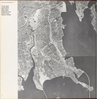
… by Eastern Boulevard,
Pelham
Bay
Park, Eastchester
… by Eastchester
Bay
, City Island Rd.,
Pelham
Bay
]
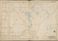
… by Boston Rd.,
Pelham
Bay
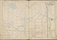
… Island,
Pelham
Bay
Park
… Island,
Pelham
Bay
Park
… Island,
Pelham
Bay
Park
… Island,
Pelham
Bay
Park
… Island,
Pelham
Bay
Park
… Island,
Pelham
Bay
Park
…, Silver Beach,
Pelham
Bay
…,
Pelham
Bay
, Edgewater
…,
Pelham
Bay
, Edgewater
…,
Pelham
Bay
, Edgewater
….,
Pelham
Bay
Park, Bartow
… River,
Pelham
Bay
Park
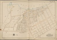
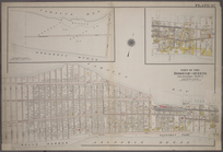
Plate 40 [Map bounded by
Pelham
Bay
…,
Pelham
Avenue, Washington
End of results
|
Top