Click to visit the main New York Public Library Homepage
The New York Public Library
Digital Collections
About Digital Collections
Browse
Search only public domain materials
Items
Collections
Divisions
Home
Search
Browse
About
Search only public domain materials
Items
Collections
Divisions
Digital Collections
Using Images
Using Data
Search
Filtered keyword search
Show filters
Hide filters
Show Only Public Domain
topic
Real property
8354
Fire insurance
5218
Cities & towns
5007
City planning
942
Social conditions
942
More
Less
name
Sanborn Map Company
5092
G.W. Bromley & Co
2090
M.I.T. Press
942
New York (N.Y.). City Planning Commission
942
Ullitz, Hugo
735
More
Less
collection
x
Atlases of New York City
place
x
New York (State)
New York
4362
Manhattan (New York, N.Y.)
1930
New York (N.Y.)
1668
Brooklyn (New York, N.Y.)
798
More
Less
genre
Maps
9643
Indexes
127
Title pages
71
Index maps
66
Outline maps
11
More
Less
publisher
Sanborn Map Company
5007
G.W. Bromley & Co
1962
MIT Press
942
E. Belcher Hyde
552
E. Robinson Co
246
More
Less
division
Map Division
9665
type
cartographic
8716
still image
944
text
221
Date Range
to
Looking for this collection?
Atlases of New York City
11,722 items
9,795 results found for:
x
Maps
Filtering on:
x
Place
: New York (State)
x
Collection
: Atlases of New York City
For more collection details, visit the
Atlases of New York City collection page
.
Sort by:
Relevance
Title
Date created
Date digitized
Sequence
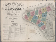
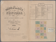
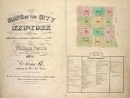
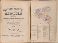
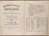
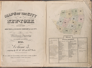
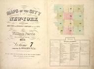
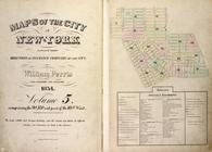
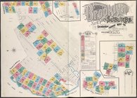
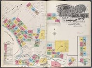
Maps
of the city of New York …
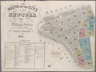
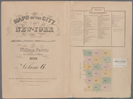
Maps
of the city of New-York
…
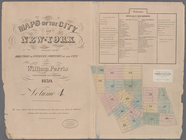
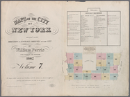
Maps
of the city of New-York
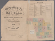
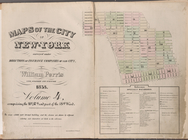
Maps
of the city of New-York
…
Maps
of the city of New-York
…
Maps
of the city of New-York
Maps
of the city of New -York
Maps
of the city of New York
…
Maps
of the city of New York …
…
Maps
of the city of New York …
…
Maps
of the city of New York
Maps
of the city of New York
Maps
of the city of New York …
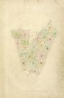
Index
Map
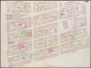
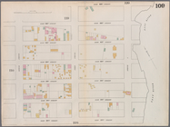
Map
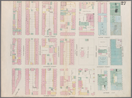
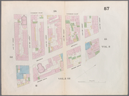
bounded by Murray Street, Broadway
Map
bounded by Canal Street, Elm Street
Map
bounded by Hamersley Street, Varick
Map
bounded by Spring Street, Broadway
Map
bounded by Broome Street, Bowery
Map
bounded by Houston Street, Bowery
Map
bounded by Rivington Street, Ludlow
Map
bounded by Division Street, Montgomery
Map
bounded by 5th Street, First Avenue
Map
bounded by 4th Street, Bowery, Houston
m
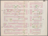
Map
bounded by 9th Street, Fourth Avenue
collection:
Map
bounded by 9th Street, Fourth Avenue, 4
Map
bounded by 9th Street, University Place
Map
bounded by 14th Street, Fourth Avenue
collection:
Map
bounded by 14th Street, Fourth Avenue, 9
Map
bounded by 14th Street, University Place
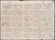
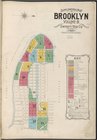
Maps
of the city of New York …
Supplemental
Map
Insurance
Maps
Insurance
Maps
Insurance
Maps
Map
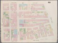
bounded by West 42nd Street, Tenth
Map
bounded by West 47th Street, Sixth
Map
bounded by West 47th Street, Eighth
Map
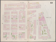
bounded by West 47th Street, Tenth
Map
bounded by West 52nd Street, Sixth
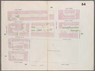
Map
bounded by West 52nd Street, Eighth
Map
bounded by West 52nd Street, Tenth
Map
bounded by West 57th Street, Tenth
Map
bounded by West 57th Street, Eighth
Map
bounded by West 57th Street, Sixth
Map
bounded by East 57th Street, Second
Map
bounded by East 57th Street, East River
collection:
Map
bounded by East 57th Street, East
Map
bounded by East 62nd Street, First
Map
bounded by East 62nd Street, Second
Map
bounded by East 62nd Street, Fourth
Map
bounded by West 59th Street, Sixth
Map
bounded by West 62nd Street, Eighth
1
2
3
4
5
6
7
8
9
10
…
39
40
Previous
Next
1
2
3
4
5
6
7
8
9
10
…
39
40
Previous
Next