Click to visit the main New York Public Library Homepage
The New York Public Library
Digital Collections
About Digital Collections
Browse
Search only public domain materials
Items
Collections
Divisions
Home
Search
Browse
About
Search only public domain materials
Items
Collections
Divisions
Digital Collections
Using Images
Using Data
Search
Filtered keyword search
Show filters
Hide filters
Show Only Public Domain
topic
City planning
943
Social conditions
942
Real property
705
Maps
225
Population
38
More
Less
name
New York (N.Y.). City Planning Commission
980
M.I.T. Press
942
G.W. Bromley & Co
723
Bromley, George Washington
230
Bromley, Walter Scott
230
More
Less
collection
Atlases of New York City
2577
Atlases of the United States
21
Lawrence H. Slaughter Collection of English maps, charts, globes, books and atlases
7
Atlases, gazetteers, guidebooks and other books
1
place
x
New York (N.Y.)
New York (State)
1673
New York
1243
Manhattan (New York, N.Y.)
373
Bronx (New York, N.Y.)
327
More
Less
genre
Maps
2551
Cadastral maps
52
Atlases
23
Index maps
23
Title pages
22
More
Less
publisher
MIT Press
942
G.W. Bromley & Co
673
E. Robinson Co
222
Sanborn Map Company
133
M.B. Brown Printing & Binding Co.,
111
More
Less
division
Map Division
2606
type
cartographic
1618
still image
945
text
97
Date Range
to
Looking for this collection?
Atlases of New York City
11,722 items
2,606 results found for:
x
atlases of new york city
Filtering on:
x
Place
: New York (N.Y.)
Sort by:
Relevance
Title
Date created
Date digitized
Sequence
Results 751 - 800
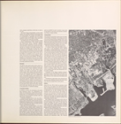
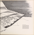
Spring Creek -- Linear
City
. (cont.)…
topic:
City
planning
Spring Creek -- Linear
City
. (cont.)…
topic:
City
planning
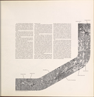
Spring Creek -- Linear
City
. (cont.)…
topic:
City
planning
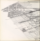
Spring Creek -- Linear
City
. (cont.)…
topic:
City
planning
Spring Creek -- Linear
City
. (cont.)…
topic:
City
planning
Spring Creek -- Linear
City
. (cont.)…
topic:
City
planning
… Incorporated,
New
York
,
New
York
, 1955
use:
… partner (e.g.,
New
York
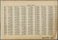
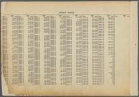
Street Index: [Third Street W…
use:
… partner (e.g.,
New
York
Street Index: [92nd Street E.…
use:
… partner (e.g.,
New
York
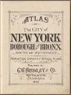
Atlas of the
City
of
New
York
, Borough
use:
… partner (e.g.,
New
York
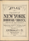
Atlas of the
City
of
New
York
, Borough
use:
… partner (e.g.,
New
York
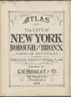
Atlas of the
City
of
New
York
, Borough
use:
… partner (e.g.,
New
York
Atlas of the
City
of
New
York
, Borough
use:
… partner (e.g.,
New
York
Insurance maps of the
City
of
New
York
use:
… partner (e.g.,
New
York
Insurance maps of the
City
of
New
York
use:
… partner (e.g.,
New
York
Statement of the surveyor Eug…
use:
… partner (e.g.,
New
York
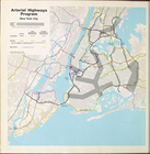
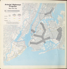
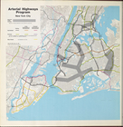
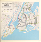
Arterial highways program
New
York
City
topic:
City
planning
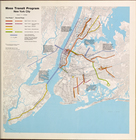
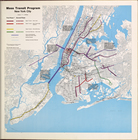
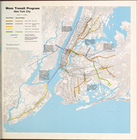
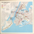
Mass Transit program
New
York
City
topic:
City
planning
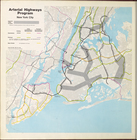
Arterial highways program
New
York
City
topic:
City
planning
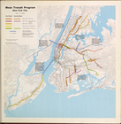
Mass Transit program
New
York
City
topic:
City
planning
Arterial highways program
New
York
City
topic:
City
planning
Mass Transit program
New
York
City
topic:
City
planning
Mass Transit program
New
York
City
topic:
City
planning
Mass Transit program
New
York
City
topic:
City
planning
Arterial highways program
New
York
City
topic:
City
planning
Mass Transit Program
New
York
City
topic:
City
planning
Arterial Highways Program
New
York
City
topic:
City
planning
Industry in
New
York
City
topic:
City
planning
Industry in
New
York
City
(cont.)…
topic:
City
planning
Industry in
New
York
City
topic:
City
planning
Industry in
New
York
City
(cont.)…
topic:
City
planning
City
planning commission
topic:
City
planning
City
facilities and services
topic:
City
planning
City
facilities and services (cont.)…
topic:
City
planning
The
City
Helps
topic:
City
planning
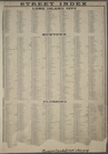
STREET INDEX: Long Island
City
-- Newtown
use:
… partner (e.g.,
New
York
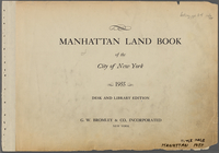
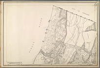
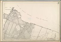
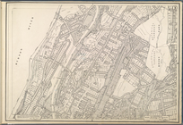
Manhattan Land Book of the
City
of
New
York
. Desk
use:
… partner (e.g.,
New
York
Use District Map Section No. 1
collection:
New
York
City
and Vicinity
Use District Map Section No. 2
collection:
New
York
City
and Vicinity
Use District Map Section No. 3
collection:
New
York
City
and Vicinity
Use District Map Section No. 4
collection:
New
York
City
and Vicinity
Use District Map Section No. 5
collection:
New
York
City
and Vicinity
Use District Map Section No. 6
collection:
New
York
City
and Vicinity
Use District Map Section No. 7
collection:
New
York
City
and Vicinity
Use District Map Section No. 8
collection:
New
York
City
and Vicinity
Use District Map Section No. 9
collection:
New
York
City
and Vicinity
Use District Map Section No. …
collection:
New
York
City
and Vicinity
Use District Map Section No. …
collection:
New
York
City
and Vicinity
Use District Map Section No. …
collection:
New
York
City
and Vicinity
Use District Map Section No. …
collection:
New
York
City
and Vicinity
1
2
3
4
5
6
7
8
9
10
11
Previous
Next
1
2
3
4
5
6
7
8
9
10
11
Previous
Next