Click to visit the main New York Public Library Homepage
The New York Public Library
Digital Collections
About Digital Collections
Browse
Search only public domain materials
Items
Collections
Divisions
Home
Search
Browse
About
Search only public domain materials
Items
Collections
Divisions
Digital Collections
Using Images
Using Data
Search
Filtered search
Show filters
Hide filters
Show Only Public Domain
topic
Streets
875
Street photography
869
Buildings, structures, etc
67
Documentary photography
67
Doors
67
More
Less
name
Stone, Dylan, 1967-
802
Colmer, Roy, 1935-2014
67
Sanborn Map Company
22
Sperr, Percy Loomis, 1890-1964
10
Abbott, Berenice, 1898-1991
8
More
Less
collection
Drugstore Photographs, Or, A Trip Along the Yangtze River, 1999, by Dylan Stone
802
Doors, NYC
67
Atlases of New York City
45
Photographic views of New York City, 1870's-1970's, from the collections of the New York Public Library
18
Changing New York
8
More
Less
place
x
New York (State)
New York
945
New York (N.Y.)
909
Manhattan (New York, N.Y.)
840
Brooklyn (New York, N.Y.)
19
More
Less
genre
Photographs
914
Maps
52
Prints
13
Atlases
5
Views
3
More
Less
publisher
Sanborn Map Company
22
G.M. Hopkins & Co
6
E. Belcher Hyde
4
E. Belcher-Hyde
4
Lith. by Korff Brothers
3
More
Less
division
Wallach Division: Photography Collection
879
Map Division
50
Milstein Division
32
Wallach Division: Print Collection
10
Wallach Division: Picture Collection
5
More
Less
type
still image
933
cartographic
52
Date Range
to
985 results found
Filtering on:
x
Place
: New York (State)
x
Title
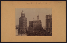
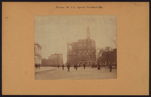
: LUNCHEON [held by] ROYAL VICTORIA HOTEL [at] "NASSAU, THE BAHAMAS" (FOR )
Sort by:
Title
Date created
Date digitized
Sequence
m
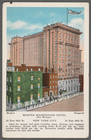
Martha Washington Hotel (for …
Rapid transit map of Kings, Q…
m
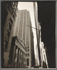
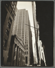
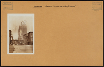
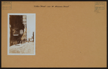
Pine Street: U. S. Treasury i…
m
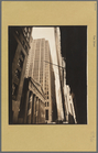
Pine Street: U. S. Treasury i…
m
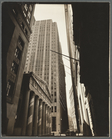
Pine Street: U. S. Treasury i…
m
Pine Street: U. S. Treasury i…
m
Pine Street: U. S. Treasury i…
m
Pine Street: U. S. Treasury i…
m
Pine Street: U. S. Treasury i…
m
Pine Street: U. S. Treasury i…
m
Brooklyn: Nassau Avenue - 14t…
m
Brooklyn: Nassau Street - Lib…
m
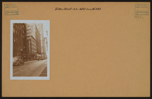
Manhattan: Fulton Street - Na…
m
Manhattan: Fulton Street - Na…
m
Brooklyn: Fulton Street - Nas…
m
Brooklyn: Kent Avenue - Littl…
m
Brooklyn: Liberty Street - Na…
m
Brooklyn: Liberty Street - Na…
m
Manhattan: John Street - Nass…
m
Manhattan: Maiden Lane - Nass…
m
Manhattan: Nassau Street - Sp…
m
Manhattan: Nassau Street - Sp…
m
Manhattan: Nassau Street - Sp…
m
Manhattan: Wall Street - Nass…
m
Manhattan: Wall Street - Nass…
m
Manhattan: Nassau Street - Wa…
m
Queens: Colonial Avenue - Nas…
m
Queens: Marathon Parkway - Na…
Sketch showing the ground und…
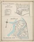
Nassau Heights; Meadowmere Pa…
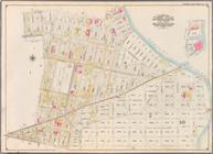
Atlas of Nassau County Long I…
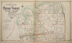
Upper section Index Map of Na…
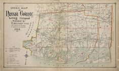
Lower section Index Map of Na…
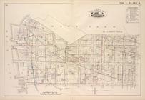
Robinson's atlas of the city …
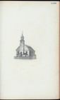
Middle Dutch Church, Nassau S…
Middle Dutch Church, Nassau S…
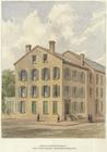
Bishop Provost's house, south…
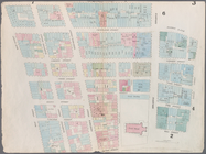
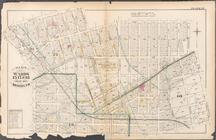
Map bounded by Dey Street, Br…
Map bounded by Maiden Lane, S…
Map bounded by Liberty Street…
Map bounded by Liberty Street…
Map bounded by Nassau Street,…
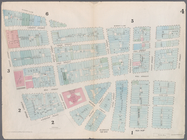
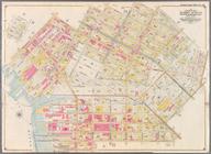
Plate 24: Bounded by Emery St…
Plate 25: Bounded by 2nd Stre…
Bounded by Manhattan Avenue, …
Bounded by Meserole Avenue, F…
Map bound by U.S. Navy Yard, …
Map bound by Poplar St., Sand…
Map bound by Sands St., U.S. …
Map bound by Manhattan Ave., …
1
2
3
4
Previous
Next
1
2
3
4
Previous
Next