Click to visit the main New York Public Library Homepage
The New York Public Library
Digital Collections
About Digital Collections
Browse
Search only public domain materials
Items
Collections
Divisions
Home
Search
Browse
About
Search only public domain materials
Items
Collections
Divisions
Digital Collections
Using Images
Using Data
Search
Filtered keyword search
Show filters
Hide filters
Show Only Public Domain
topic
Real property
99
Maps
14
name
G.W. Bromley & Co
330
Bromley, George Washington
288
Bromley, Walter Scott
288
collection
x
Atlases of New York City
place
New York (N.Y.)
148
Bronx (New York, N.Y.)
141
New York (State)
103
Manhattan (New York, N.Y.)
93
New York
93
More
Less
genre
Maps
328
Index maps
37
Outline maps
10
Indexes
4
Title pages
2
publisher
x
G.W. Bromley & Co
division
Map Division
331
type
cartographic
328
text
6
Date Range
to
331 results found for:
x
North Hempstead (N.Y. : Town) -- Maps
Filtering on:
x
Publisher
: G.W. Bromley & Co.
x
Collection
: Atlases of New York City
For more collection details, visit the
Atlases of New York City collection page
.
Sort by:
Relevance
Title
Date created
Date digitized
Sequence
…
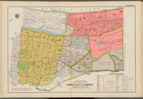
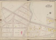
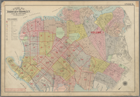
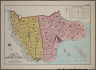
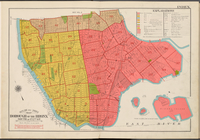
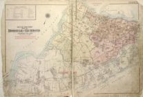
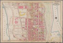
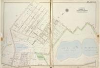
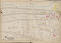
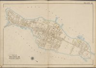
Map
, Borough of the Bronx.
North
of 172nd
topic:
Maps
…
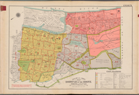
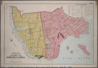
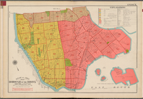
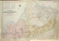
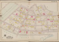
Map
, Borough of the Bronx.
North
of 172nd
topic:
Maps
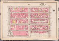
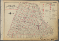
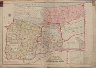
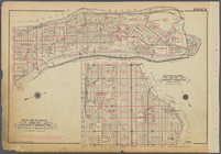
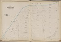
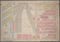
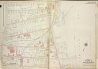
Plate 40 [
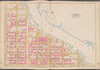
Map
Index to
Maps
or Lot Subdivisions
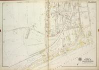
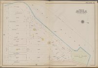
Plate 32 [
Map
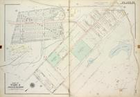
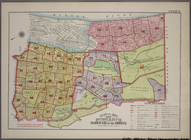
… of Ward 4 [
Map
bound
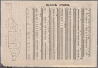
Block Index [With the Manhattan
map
on the left]
Map
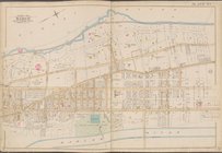
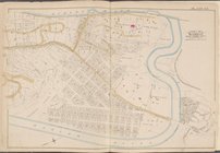
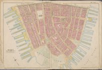
bounded by Hudson River, Harlem
Map
bounded by Hudson River, Harlem
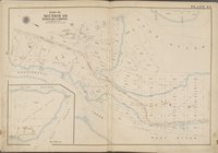
…, Penna.
N
.
Y
. and L.I.R.R
collection:
…, Penna.
N.Y
. and L.I.R.R
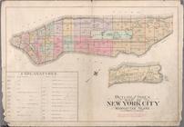
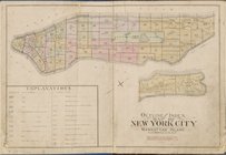
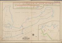
Outline and Index
Map
of Atlas of New
Outline
map
of the Borough of Brooklyn City
topic:
Maps
Outline
Map
of the Borough of Brooklyn, City
topic:
Maps
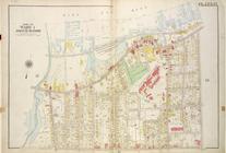
… of Ward 1 [
Map
bound by Pierhead Line,
N
. Burgher
… of Ward 4 [
Map
bound by Scott Ave, Old
Town
Road
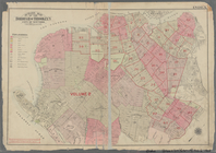
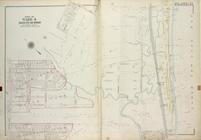
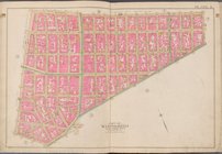
BLOCK INDEX. [Includes the
map
Outline & Index
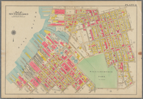
Map
: Sections 9 and 10, Borough
Outline and Index
Map
, Sections 9 and 10
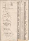
note:
Includes 37 pages of text and 19
maps
.
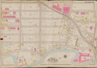
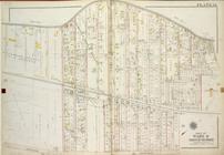
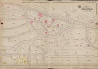
Plate 12 [
Map
bounded by Southern Blvd
Outline and Index
map
of New York City
Outline and Index
Map
, Borough
topic:
Maps
Outline and Index
Map
of Borough
Outline and Index
Map
, Borough
topic:
Maps
Outline & Index
Map
: Sections 11, 12 and 13
Outline & Index
Map
of The Borough of Richmond
Outline & Index
Map
of The Borough of Richmond
Outline and Index
Map
, Sections 11, 12
… of Ward 4 [
Map
bound
…, Hudson River (
N
.
Y
.C
collection:
…, Hudson River (
N.Y
…
Map
of Borough
… of Ward 4 [
Map
bound by Richmond Road, Old
Town
Outline and Index
Map
, Sections 9 and 10
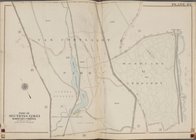
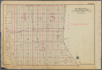
Plate 36 [
Map
bounded by Bronx River
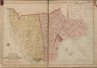
Plate 37 [
Map
bounded by East River
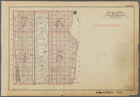
Plate 7 [
Map
bounded by Aqueduct Ave
Plate 43 [
Map
bounded by Van Cortlandt
Map
bounded by Liberty St., Maiden Lane
Map
bounded by Broome St., Division St
Plate 43 [
Map
bounded by Parsons Ave
….,
N
. Eleventh St., Driggs Ave.,
N
. Ninth St
topic:
Maps
… of Ward 1 [
Map
bound
… and (
N
.
Y
.C. & H.R.R.C.R
collection:
… and (
N.Y
.C. & H.R.R.C.R
Outline and Index
Map
of Borough
Outline and Index
Map
of Borough
Plate 6 [
Map
bounded by Harlem River, W
Plate 29 [
Map
bounded by Bainbridge Ave
Map
bounded by Harlem River, E.125th St
Plate 44 [
Map
bounded by Long Island
Plate 45 [
Map
bounded by Long Island
… of Ward 4 [
Map
bound
1
2
Previous
Next
1
2
Previous
Next