Click to visit the main New York Public Library Homepage
The New York Public Library
Digital Collections
About Digital Collections
Browse
Search only public domain materials
Items
Collections
Divisions
Home
Search
Browse
About
Search only public domain materials
Items
Collections
Divisions
Digital Collections
Using Images
Using Data
Search
Filtered keyword search
Show filters
Hide filters
Show Only Public Domain
topic
Real property
9647
Fire insurance
5184
Cities & towns
4997
Administrative and political divisions
766
Railroads
602
More
Less
name
Sanborn Map Company
5083
G.W. Bromley & Co
2343
Bromley, George Washington
797
Bromley, Walter Scott
797
Ullitz, Hugo
702
More
Less
collection
Atlases of New York City
8861
Atlases of the United States
2846
Maps of North America
2630
Maps of New York City and State
1174
Lawrence H. Slaughter Collection of English maps, charts, globes, books and atlases
651
More
Less
place
New York (State)
10465
New York
3128
Manhattan (New York, N.Y.)
2004
New York (N.Y.)
1467
Brooklyn (New York, N.Y.)
1005
More
Less
genre
Maps
16462
Atlases
2800
Cadastral maps
474
Nautical charts
204
Prints
149
More
Less
publisher
Sanborn Map Company
5001
G.W. Bromley & Co
2208
E. Belcher Hyde
649
publisher not identified
452
E. Robinson Co
334
More
Less
division
Map Division
16237
Rare Book Division
59
Wallach Division: Print Collection
45
General Research Division
42
Milstein Division
31
More
Less
type
x
cartographic
text
181
still image
129
Date Range
to
Looking for one of these collections?
Atlases of New York City
11,722 items
Atlases of the United States
3,868 items
Maps of North America
3,345 items
Maps of New York City and State
2,059 items
Lawrence H. Slaughter Collection of English maps, charts, globes, books and atlases
1,252 items
16,572 results found for:
x
Publishers
Filtering on:
x
Rights
: Public Domain
x
Type
: cartographic
Sort by:
Relevance
Title
Date created
Date digitized
Sequence
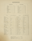
Index.
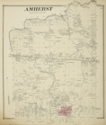
Amherst [Township]
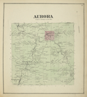
Aurora [Township]
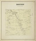
Boston [Township]
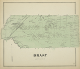
Brant [Township]
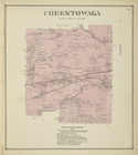
Cheektowaga [Township]
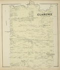
Clarence [Township]
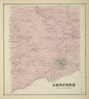
Concord [Township]
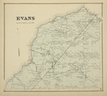
Evans [Township]
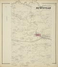
Newstead [Township]
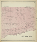
Sardinia [Township]
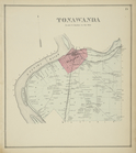
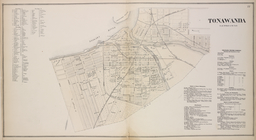
Tonawanda [Township]
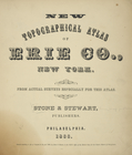
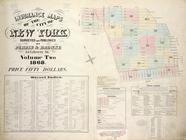
New Topographical Atlas of Er…
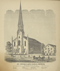
St. Peter's and Paul's Church…
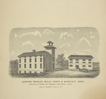
Aurora Woolen Mills, Torry & …
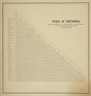
Table of Distances
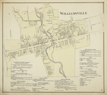
Williamsville [Village]; Will…
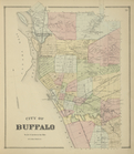
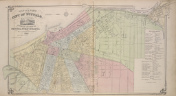
City of Buffalo [Township]
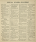
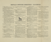
Buffalo Business Directory.
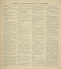
Buffalo Business Directory. […
Buffalo Business Directory. […
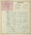
Colden [Village]; Colden [Tow…
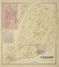
Collins Center [Village]; Col…
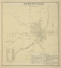
Springville [Village]; Spring…
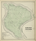
Grand Island [Township]; Gran…
Bowmansville [Village]; Lanca…
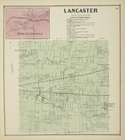
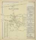
Lancaster [Village]; Lancaste…
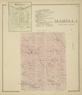
Marilla [Village]; Marilla Bu…
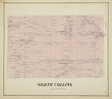
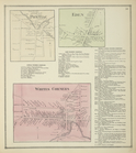
North Collins [Township]
Tonawanda [Village]; Tonawand…
Middle Ebenezer [Village]; Mi…
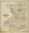
Map of Erie County
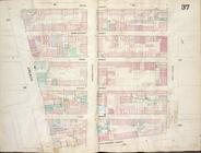
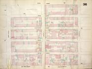
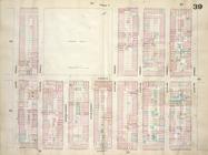
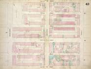
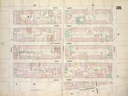
Map bounded by Fifth Street, …
Map of a Part of the City of …
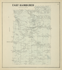
East Hamburch [i.e. East Hamb…
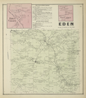
Eden Valley [Village]; Eden V…
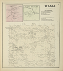
Elma [Village]; Upper Ebeneze…
Pontlac [Village]; Pontlac Bu…
Abbotts Corners [Village]; Ab…
Protection [Village]; Protect…
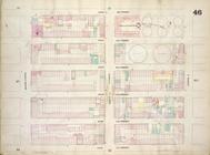
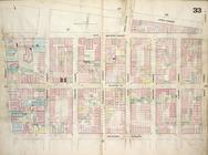
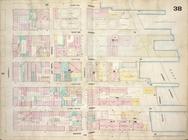
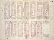
Map bounded by East 22nd Stre…
Map bounded by First Street, …
Map bounded by East 13th Stre…
Map bounded by Second Avenue,…
Map bounded by Sixth Street, …
Map bounded by Avenue A, East…
… Surveyed and
Published
Map bounded by East 17th Stre…
Map bounded by Sixth Street, …
Zoological chart of the world…
1
2
3
4
5
6
7
8
9
10
…
66
67
Previous
Next
1
2
3
4
5
6
7
8
9
10
…
66
67
Previous
Next