Click to visit the main New York Public Library Homepage
The New York Public Library
Digital Collections
About Digital Collections
Browse
Search only public domain materials
Items
Collections
Divisions
Home
Search
Browse
About
Search only public domain materials
Items
Collections
Divisions
Digital Collections
Using Images
Using Data
Search
Filtered keyword search
Show filters
Hide filters
Show Only Public Domain
topic
x
City planning
Streets
11
Piers
10
Real property
10
Waterfronts
10
More
Less
name
New York (N.Y.). Common Council
78
Valentine, D. T. (David Thomas), 1801-1869
14
Hayward, George, b. ca. 1800
10
Boston (Mass.). Department of Parks
6
Heliotype Printing Co
6
More
Less
collection
Maps of New York City and State
126
Maps of North America
18
A plan of the city of Hartford
5
City of Alexandria town planning scheme
3
Civitates Orbis Terrarvm Liber Primvs-Sextvs
3
More
Less
place
New York (N.Y.)
124
Central Park (New York, N.Y.)
63
Manhattan (New York, N.Y.)
56
New York (State)
51
New York
23
More
Less
genre
Maps
155
Manuscript maps
12
Cadastral maps
6
Plans
5
Illustrations
3
More
Less
publisher
publisher not identified
6
Case, Lockwood & Brainard Co
5
Government press
3
producer not identified
3
Department of Public Works
2
More
Less
division
Map Division
145
General Research Division
11
Rare Book Division
3
Wallach Division: Print Collection
1
type
cartographic
158
still image
6
Date Range
to
160 results found for:
x
new york plan
Filtering on:
x
Rights
: Public Domain
x
Topic
: City planning
Sort by:
Relevance
Title
Date created
Date digitized
Sequence
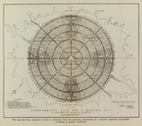
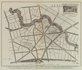
Diagrammatic
plan
for a modern city
use:
… partner (e.g.,
New
York
General
plan
of the city of Hartford
use:
… partner (e.g.,
New
York
General
plan
of the city of Hartford
use:
… partner (e.g.,
New
York
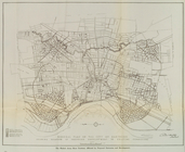
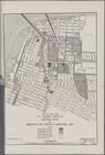
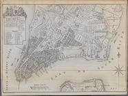
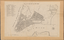
Plan
of the central section of the city
use:
… partner (e.g.,
New
York
Suggested type of layout for …
use:
… partner (e.g.,
New
York
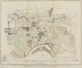
City of
New
York
City
Planning
use:
… partner (e.g.,
New
York
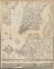
Plan
of Boston and its vicinity
use:
… partner (e.g.,
New
York
Plan
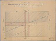
of the tracks under Union Sq.
use:
… partner (e.g.,
New
York
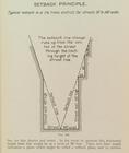
Setback principle
use:
… partner (e.g.,
New
York
Plan
d'ensemble de la cité ouvrière de
use:
… partner (e.g.,
New
York
Plan
d'ensemble de la cité ouvrière de
use:
… partner (e.g.,
New
York
… and Tenth Ave.,
New
York
use:
… partner (e.g.,
New
York
m
Plan
of the Harlem River Drive from 155th
use:
… partner (e.g.,
New
York
Map of the city of Worcester …
use:
… partner (e.g.,
New
York
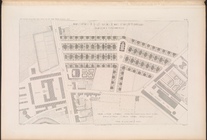
Preliminary
plan
for Wood Island Park, East
use:
… partner (e.g.,
New
York
Plan
of Public Garden
use:
… partner (e.g.,
New
York
Map of
New
Covington, in St. Tammany
use:
… partner (e.g.,
New
York
Plan
of burnt district (by fire of Nov
use:
… partner (e.g.,
New
York
Plan
for the occupation of flats owned
use:
… partner (e.g.,
New
York
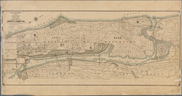
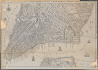
Plan
of the City of
New
York
. Surveyed
use:
… partner (e.g.,
New
York
Map or
plan
showing the street system in the 12th
use:
… partner (e.g.,
New
York
General
plan
for the town of Vandergrift
use:
… partner (e.g.,
New
York
Plan
of the City of
New
York
, In North
use:
… partner (e.g.,
New
York
Plan
of the City of
New
York
. From
use:
… partner (e.g.,
New
York
…
Plan
of the City of
New
use:
… partner (e.g.,
New
York
Plan
of the City of
New
York
and its
use:
… partner (e.g.,
New
York
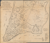
A
Plan
of the City and Environs of
New
York
use:
… partner (e.g.,
New
York
A
Plan
of the City of
New
-
York
& its
use:
… partner (e.g.,
New
York
…,
New
York
, January 1887
use:
… partner (e.g.,
New
York
m
… in the City of
New
York
…
use:
… partner (e.g.,
New
York
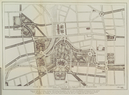
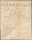
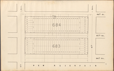
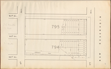
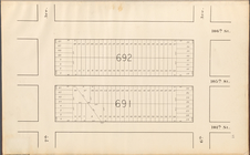
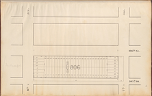
Central Park
Planning
Map: Bounded
use:
… partner (e.g.,
New
York
Central Park
Planning
Map: Bounded
use:
… partner (e.g.,
New
York
Central Park
Planning
Map: Bounded
use:
… partner (e.g.,
New
York
Central Park
Planning
Map: Bounded
use:
… partner (e.g.,
New
York
Central Park
Planning
Map: Bounded
use:
… partner (e.g.,
New
York
Central Park
Planning
Map: Bounded
use:
… partner (e.g.,
New
York
Central Park
Planning
Map: Bounded
use:
… partner (e.g.,
New
York
Central Park
Planning
Map: Bounded
use:
… partner (e.g.,
New
York
Central Park
Planning
Map: Bounded
use:
… partner (e.g.,
New
York
Central Park
Planning
Map: Bounded
use:
… partner (e.g.,
New
York
Central Park
Planning
Map: Bounded
use:
… partner (e.g.,
New
York
Central Park
Planning
Map: Bounded
use:
… partner (e.g.,
New
York
Central Park
Planning
Map: Bounded
use:
… partner (e.g.,
New
York
Central Park
Planning
Map: Bounded
use:
… partner (e.g.,
New
York
Central Park
Planning
Map: Bounded
use:
… partner (e.g.,
New
York
Central Park
Planning
Map: Bounded
use:
… partner (e.g.,
New
York
Central Park
Planning
Map: Bounded
use:
… partner (e.g.,
New
York
Central Park
Planning
Map: Bounded
use:
… partner (e.g.,
New
York
Central Park
Planning
Map: Bounded
use:
… partner (e.g.,
New
York
Central Park
Planning
Map: Bounded
use:
… partner (e.g.,
New
York