Click to visit the main New York Public Library Homepage
The New York Public Library
Digital Collections
About Digital Collections
Browse
Search only public domain materials
Items
Collections
Divisions
Home
Search
Browse
About
Search only public domain materials
Items
Collections
Divisions
Digital Collections
Using Images
Using Data
Search
Filtered keyword search
Show filters
Hide filters
Show Only Public Domain
topic
History
11
Landowners
11
Administrative and political divisions
10
Real property
10
Railroads
7
More
Less
name
Smith, Robert Pearsall, 1827-1898
8
Valentine, D. T. (David Thomas), 1801-1869
4
Dripps, M. (Matthew)
3
French, J. H. (John Homer), 1824-1888
3
New York (N.Y.). Common Council
3
More
Less
collection
x
Maps of New York City and State
place
New York (State)
49
New York (N.Y.)
25
New York
12
Manhattan (New York, N.Y.)
11
United States
7
More
Less
genre
Maps
70
Cadastral maps
8
Geological maps
2
Manuscript maps
1
Military maps
1
More
Less
publisher
publisher not identified
6
Robert Pearsall Smith
3
Brooklyn Daily Eagle
2
Ferdinand Andrews
2
Lith. by N. Currier, 152 Nassau cor. of Spruce
2
More
Less
division
Map Division
70
type
x
cartographic
still image
1
text
1
Date Range
to
70 results found for:
x
17
Filtering on:
x
Collection
: Maps of New York City and State
x
Type
: cartographic
For more collection details, visit the
Maps of New York City and State collection page
.
Sort by:
Relevance
Title
Date created
Date digitized
Sequence
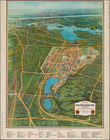
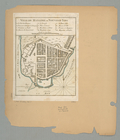
Map of the New York world's f…
note:
Size:
17
X 22 1/4 inches.
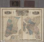
Complete map of the cities of…
m
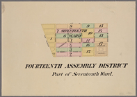
Maps of the 14, 15, 16,
17
, 20, 21
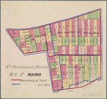
6th Senatorial District 10, 11,
17
Wards
Ville de Manathe ou Nouvelle-…
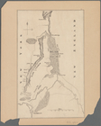
Lake George, Fort Ticonderoga…
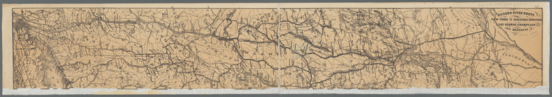
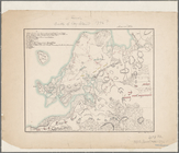
Hudson River route: New York …
Map of the flats above Albany
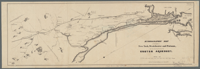
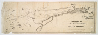
Hydrographic map of the count…
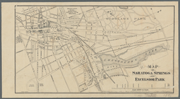
Map of Saratoga Springs and E…
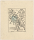
Map of Rochester
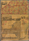
Railroad suburbs between Holl…
Adirondack survey, Sketch in …
note:
…"Adirondack Survey Report Pl.
17
."…
Hydrographic map of the count…
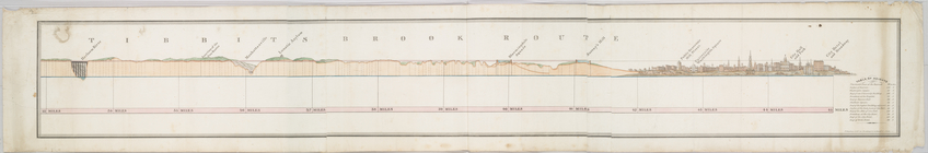
Tibbits Brook route.
Map and plan to illustrate th…
Map of Livingston Manor, 1714
[Map of the Hudson River] pre…
Map of Brooklyn during the Ba…
m
James H. Kelly's business map…
Plan der Attaque, welche Sr. …
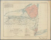
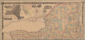
Map of the State of New York:…
note:
….
17
of series.
m
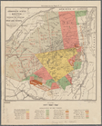
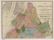
Map of Kings County: showing …
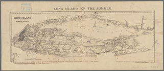
Long Island for the summer
m
Map of the Catskill Mountains
abstract:
…. Guyot. [3] p. ;
17
cm.
m
Map of the property of the Yo…
note:
…"Dec.
17
, 1890; For information apply to Alfred
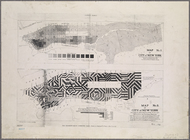
Central Park Planning Map No.
17
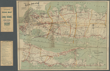
Map of Long Island
m
Bridgman's map of the suburbs…
note:
Designed to be folded to
17
x 11 cm.
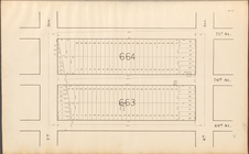
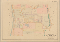
Part of Wards 3 & 4, Yonkers
note:
…. Robinson, 1889. plate
17
.
m
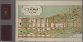
The Transval of New York
m
The Tenement-House Committee …
m
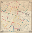
Map of Allegany Co., N.Y.: fr…
m
Map of the underground railwa…
Map of Sullivan County, New Y…
A map of the countrey of the …
m
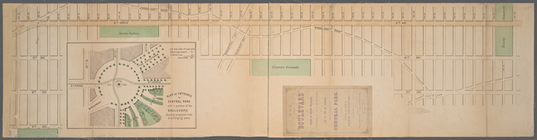
Map of the Boulevard : and pl…
Maps shewing the residence of…
m
Map of Tioga County, New York…
m
Map of Clinton Co., New York:…
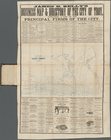
Public squares, parks, and pl…
A topographical map of Steube…
m
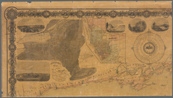
The State of New York: from n…
note:
…, Albany" [
17
cm diameter].
m
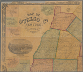
Map of Otsego Co., New York: …
m
The State of New York: from n…
note:
…, Albany" [
17
cm. dia.].
m
The State of New York: from n…
note:
…, Albany" [
17
cm. dia.].
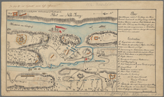
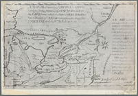
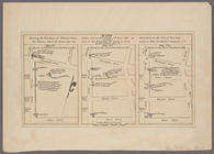
Position of the American Army…
Attack on forts Clinton and M…
Map of Great Barn Island, New…
Map of the tertiary of Essex …