Click to visit the main New York Public Library Homepage
The New York Public Library
Digital Collections
About Digital Collections
Browse
Search only public domain materials
Items
Collections
Divisions
Home
Search
Browse
About
Search only public domain materials
Items
Collections
Divisions
Digital Collections
Using Images
Using Data
Search
Filtered keyword search
Show filters
Hide filters
Show Only Public Domain
topic
Real property
182
Fire insurance
51
Cities & towns
49
Maps
17
Zoning
6
More
Less
name
E.B. Hyde & Co
86
Ullitz, Hugo
86
E. Belcher Hyde Map Company
68
Sanborn Map Company
50
G.W. Bromley & Co
48
More
Less
collection
x
Atlases of New York City
place
New York (State)
191
New York
136
Brooklyn (New York, N.Y.)
111
Maps
62
New York (N.Y.)
34
More
Less
genre
Maps
247
Index maps
3
Cadastral maps
1
Topographic maps
1
publisher
E. Belcher Hyde
73
Sanborn Map Company
51
G.W. Bromley & Co
39
E. Robinson Co
16
E.B. Hyde & Co
15
More
Less
division
Map Division
246
type
x
cartographic
text
1
Date Range
to
247 results found for:
x
17
Filtering on:
x
Collection
: Atlases of New York City
x
Type
: cartographic
For more collection details, visit the
Atlases of New York City collection page
.
Sort by:
Relevance
Title
Date created
Date digitized
Sequence
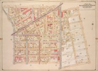
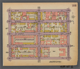
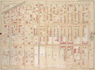
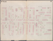
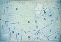
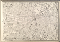
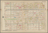
…, Double Page Plate No.
17
; Part of Wards 15,
17
Map bounded by Bainbridge St.…
note:
v. 1 Sections
1-7
-- v. 2 Sections 8-l4
Map bounded by Pacific St., S…
note:
v. 1 Sections
1-7
-- v. 2 Sections 8-l4
Map bounded by Fulton St., Ro…
note:
v. 1 Sections
1-7
-- v. 2 Sections 8-l4
Map bounded by Dean St., Roch…
note:
v. 1 Sections
1-7
-- v. 2 Sections 8-l4
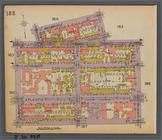
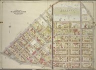
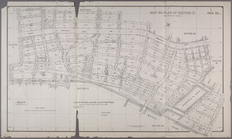
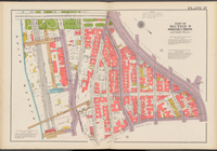
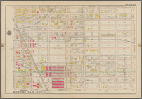
Plate
17
: Bounded by 21st Street, Gravesend
collection:
Plate
17
: Bounded by 21st Street
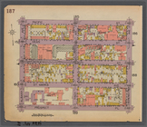
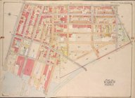
Plate
17
: [Bounded by Flushing Avenue
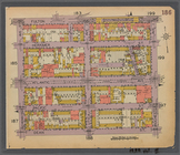
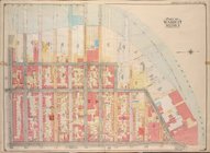
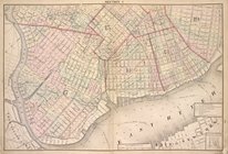
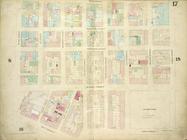
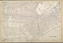
Plate 16: Map No.
17
[Bounded by Third
note:
Map No.
17
: Map of Port Morris, locatd
…, Double Page Plate No.
17
…; Part of Wards 15 &
17
…; Part of Ward
17
…; Part of Ward
17
…; Part of Ward
17
…; Part of Ward
17
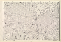
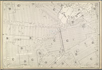
Bounded by Flushing Avenue, P…
collection:
Plate
17
Bounded by Malbone Street, Ki…
collection:
Plate
17
Plate
17
: Map bounded by Atlantic Street
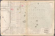
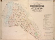
Map or Plan of Section
17
. [Bounded
…. Wards 13, 14, 15, 16,
17
first:
670dba69-1d
17
-448e-e040-e00a18063311
…; Part of Wards 14 &
17
…; Part of Ward
17
…; Part of Ward
17
& 18
…, Double Page Plate No.
17
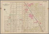
Height District Map Section No.
17
Use District Map Section No.
17
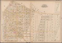
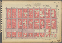
Plate
17
Plate
17
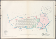
, Part of Section 2
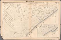
Part of Southfield
collection:
Section
17
Area District Map Section No.
17
…, 16,
17
, 18, 19]
first:
64b4a3c
1-7
a86-19e1-e040-e00a180640e1
Area Zoning Map Section No.
17
Plate
17
, Part of Section 2
Plate
17
, Part of Section 9, Borough
Sheet No.
17
. [Includes Sailor's Snug
Bronx, V. A, Plate No.
17
[Map bounded
Bronx, V. B, Plate No.
17
[Map bounded
Area District Map Section No.
17
Double Page Plate No.
17
, Part
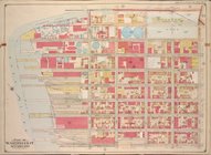
Plate
17
: Map bounded by West Street
Bounded by 43rd Street, 14th …
Bounded by 58th Street, Fourt…
first:
8dbe3890-8624-0137-e8dc-25f38961db
17
Bounded by 58th Street, 21st …
Use District Map Section No.
17
Area District Map Section No.
17
Height District Map Section No.
17
Area District Map Section No.
17
Height District Map Section No.
17
Use District Map Section No.
17
Plate
17
, Part of Section 2
Double Page Plate No.
17
, Part