Click to visit the main New York Public Library Homepage
The New York Public Library
Digital Collections
About Digital Collections
Browse
Search only public domain materials
Items
Collections
Divisions
Home
Search
Browse
About
Search only public domain materials
Items
Collections
Divisions
Digital Collections
Using Images
Using Data
Search
Filtered keyword search
Show filters
Hide filters
Show Only Public Domain
topic
Maps
37
Real property
16
Cities & towns
4
Fire insurance
4
name
M.B. Brown Printing and Binding Co
109
New York (N.Y.). Board of Estimate and Apportionment
109
E. Belcher Hyde Map Company
7
E.B. Hyde & Co
7
Ullitz, Hugo
7
More
Less
collection
x
Atlases of New York City
place
New York (N.Y.)
109
New York (State)
16
Brooklyn (New York, N.Y.)
12
New York
12
Maps
6
genre
Maps
125
Book covers
1
Index maps
1
publisher
M.B. Brown Printing & Binding Co.,
109
E. Belcher Hyde
7
G.M. Hopkins & Co
5
Sanborn Map Company
4
division
Map Division
126
type
x
cartographic
text
1
Date Range
to
126 results found for:
x
M. B
Filtering on:
x
Collection
: Atlases of New York City
x
Type
: cartographic
For more collection details, visit the
Atlases of New York City collection page
.
Sort by:
Relevance
Title
Date created
Date digitized
Sequence
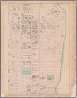
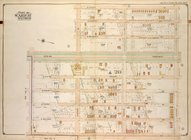
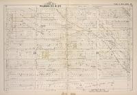
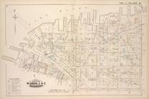
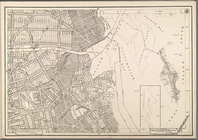
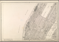
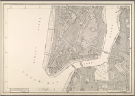
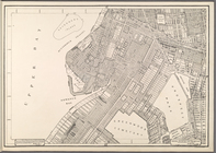
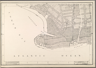
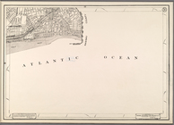
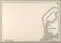
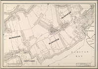
Brooklyn Vol.
B
parent:
c1dc1
b
70-c5fc-012f-fe0
b
-58d385a7bc34
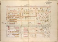
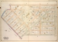
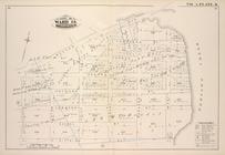
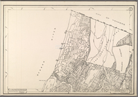
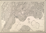
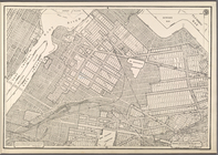
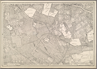
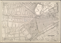
Brooklyn Vol.
B
parent:
c1dc1
b
70-c5fc-012f-fe0
b
-58d385a7bc34
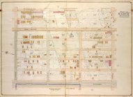
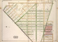
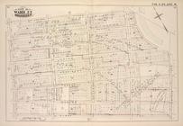
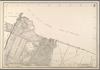
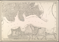
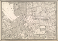
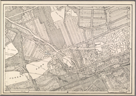
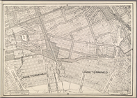
Brooklyn Vol.
B
parent:
c1dc1
b
70-c5fc-012f-fe0
b
-58d385a7bc34
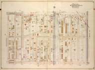
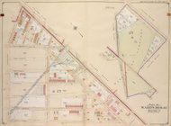
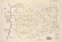
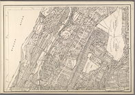
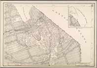
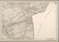
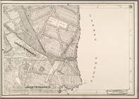
Brooklyn Vol.
B
parent:
c1dc1
b
70-c5fc-012f-fe0
b
-58d385a7bc34
… Street, Avenue
B
, E
parent:
85670df0-c603-012f-
b
54a-58d385a7bc34
… by Ocean Ave., Avenue
M
…
M
; Including Ocean
parent:
96c66710-c5f8-012f-ab1
b
-58d385a7bc34
… by Avenue
M
, Ocean Ave
…, Avenue
M
]
…., 58th St., Avenue
M
]
parent:
97d59
b
50-c5f8-012f-f17d-58d385a7bc34
…., 58th St., Avenue
M
]
first:
6c151
b
56-5949-23
b
3-e040-e00a1806143f
…, Avenue
M
, West St
parent:
86009550-c5f8-012f-7
b
6e-58d385a7bc34
Map bounded by Lafayette Ave.…
parent:
a0e398f0-
b
555-0132-57e4-58d385a7
b
928
Map bound by Meeker Ave., New…
parent:
b
19ac830-
b
556-0132-f6d6-58d385a7bbd0
Map bound by St. Johns Place,…
parent:
b
65e82a0-c5fa-012f-fd43-58d385a7bc34
Map bound by Huron St., Oakla…
parent:
b
29
b
1c60-
b
557-0132-5a52-58d385a7bbd0
Map bound by East River, Brid…
parent:
7a8499a0-
b
557-0132-9d12-58d385a7bbd0
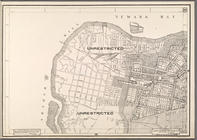
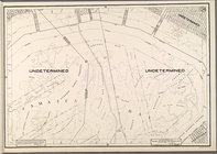
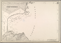
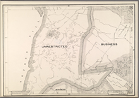
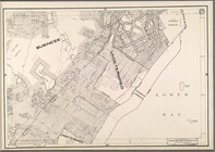
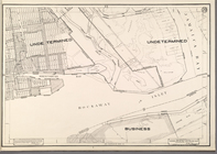
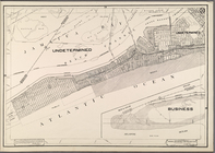
Use District Map Section No. 1
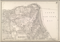
Use District Map Section No. 2
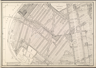
Use District Map Section No. 3
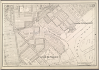
Use District Map Section No. 4
parent:
20
b
1bec0-c605-012f-fbb6-58d385a7bc34
Use District Map Section No. 5
Use District Map Section No. 6
Use District Map Section No. 7
Use District Map Section No. 8
parent:
21
b
7be40-c605-012f-
b
227-58d385a7bc34
Use District Map Section No. 9
Use District Map Section No. …
Use District Map Section No. …
Use District Map Section No. …
parent:
22
b
45350-c605-012f-bce2-58d385a7bc34
Use District Map Section No. …
Use District Map Section No. …
parent:
232c5140-c605-012f-54
b
2-58d385a7bc34
Use District Map Section No. …
Use District Map Section No. …
Use District Map Section No. …
Use District Map Section No. …
Use District Map Section No. …
parent:
246
b
4e40-c605-012f-5615-58d385a7bc34
Use District Map Section No. …
Use District Map Section No. …
Use District Map Section No. …
Use District Map Section No. …
Use District Map Section No. …
Use District Map Section No. …
Use District Map Section No. …
Use District Map Section No. …
Use District Map Section No. …
parent:
26
b
0c600-c605-012f-4a83-58d385a7bc34
Use District Map Section No. …
parent:
26f83960-c605-012f-40
b
4-58d385a7bc34
Use District Map Section No. …
parent:
27321710-c605-012f-829
b
-58d385a7bc34
Use District Map Section No. …
parent:
277904
b
0-c605-012f-0ddb-58d385a7bc34
Use District Map Section No. …
parent:
27
b
220f0-c605-012f-c488-58d385a7bc34
Use District Map Section No. …