Click to visit the main New York Public Library Homepage
The New York Public Library
Digital Collections
About Digital Collections
Browse
Search only public domain materials
Items
Collections
Divisions
Home
Search
Browse
About
Search only public domain materials
Items
Collections
Divisions
Digital Collections
Using Images
Using Data
Search
Filtered keyword search
Show filters
Hide filters
Show Only Public Domain
topic
Real property
700
Fire insurance
112
Cities & towns
110
Maps
97
Docks
10
More
Less
name
G.W. Bromley & Co
865
Bromley, George Washington
787
Bromley, Walter Scott
786
Sanborn Map Company
110
Ullitz, Hugo
24
More
Less
collection
x
Atlases of New York City
place
New York (State)
719
New York
581
Manhattan (New York, N.Y.)
474
New York (N.Y.)
273
Bronx (New York, N.Y.)
225
More
Less
genre
Maps
1066
Indexes
61
Index maps
16
Title pages
14
Outline maps
7
More
Less
publisher
G.W. Bromley & Co
813
Sanborn Map Company
110
G.W. Bromley
49
E. Belcher Hyde
33
E. Robinson Co
16
More
Less
division
Map Division
1093
type
cartographic
1027
text
76
still image
10
Date Range
to
1,095 results found for:
x
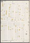
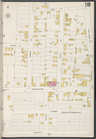
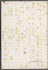
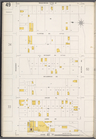
Washington
Filtering on:
x
Collection
: Atlases of New York City
For more collection details, visit the
Atlases of New York City collection page
.
Sort by:
Relevance
Title
Date created
Date digitized
Sequence
Results 251 - 300
….,
Washington
Pl., Junction Ave.]
… by Cross.,
Washington
Ave
…, Broadway,
Washington
Ave.]
… by
Washington
Ave., Belmont Ave
Bounded by 43rd Street, West …
Bounded by Bedford Avenue, Ma…
…, Broadway,
Washington
]
… by Main St.,
Washington
St
…., Josephine,
Washington
Ave.]
… bounded by
Washington
Ave
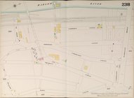
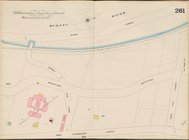
… by Harlem River,
Washington
….,
Washington
St.]
…., Fort
Washington
Ave., W
…, Fort
Washington
Ave.]
…, Fort
Washington
Ave.]
Bounded by 86th Street, W. 9t…
… by
Washington
Ave., George St
… River,
Washington
Bridge
…., Fort
Washington
Ave.]
…., Fort
Washington
Ave.]
…
Washington
Ave., W. 170th St.]
…., Aqueduct Ave.,
Washington
…., Boscobel Ave.,
Washington
… Ave.,
Washington
… by Fordham Rd.,
Washington
….,
Washington
Ave., Wendover Ave
….,
Washington
Ave.]
….,
Washington
Ave.]
Bounded by Malbone Street, Ki…
Bounded by Ditmas Avenue, Con…
Bounded by (Vanderveer Park) …
Bounded by Avenue I., Ocean A…
Bounded by Avenue M., Coney I…
Block Index, Volume One
Block Index
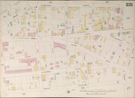
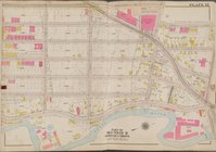
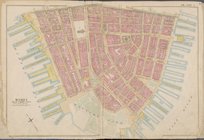
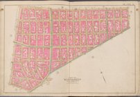
Plate 12 [Map bounded by Sout…
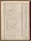
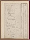
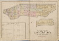
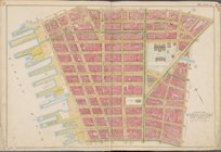
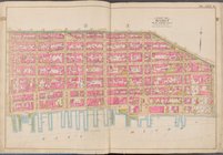
Outline and Index map of New …
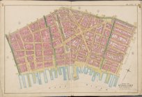
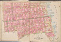
Map bounded by Liberty St., M…
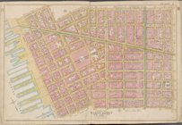
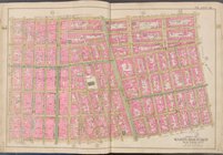
Map bounded by Jay St., Thoma…
Map bounded by William St., P…
Map bounded by Spring St., Br…
Map bounded by Broome St., Di…
Map bounded by Division St., …
Map bounded by E. 3rd St., Ea…
Map bounded by W. 3rd St., E.…
Map bounded by Charles St., W…
Map bounded by W. 14th St., 6…
Map bounded by E. 14th St., 1…
Map bounded by E. 14th St., E…
Map bounded by W. 25th St., 7…
1
2
3
4
5
Previous
Next
1
2
3
4
5
Previous
Next